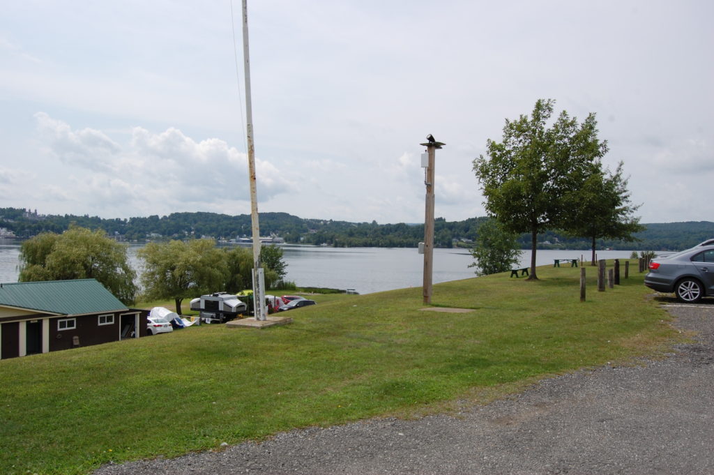
Please sign up to follow my blog:
Go to the bottom of the right column to-
“Follow our adventures…” then Click on “Profile”…
HAPPINESS is:
to have EVERYTHING
you NEED not the NEED
to have EVERYTHING
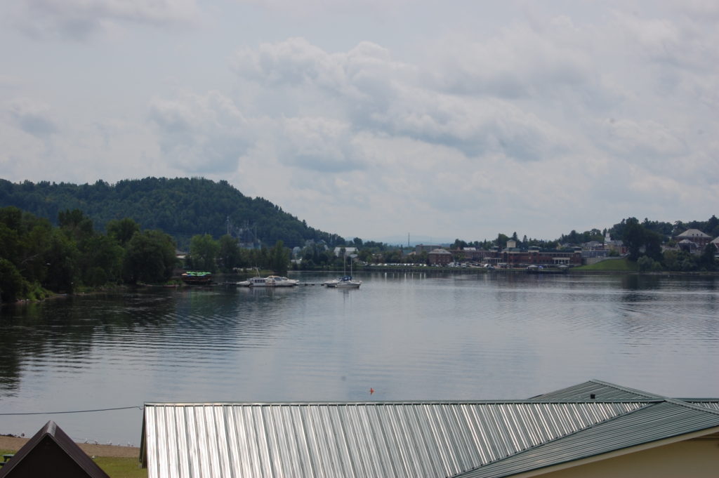
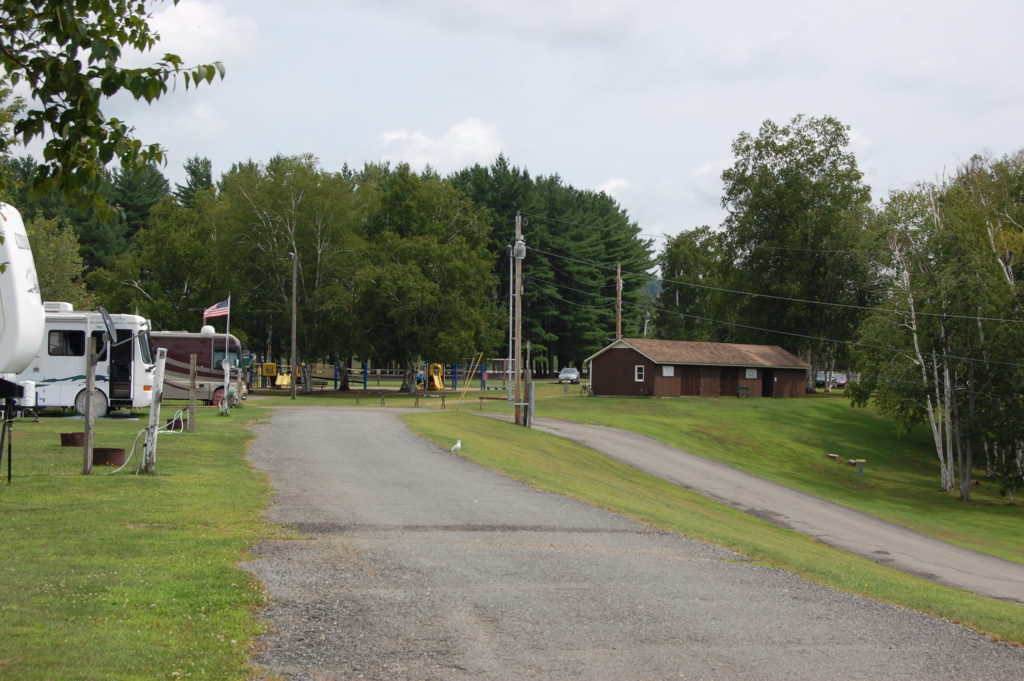
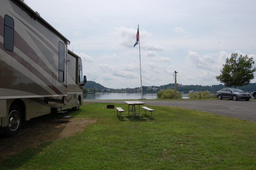
If, per chance, pictures appear to be missing, using your “refresh” button should help them reappear.
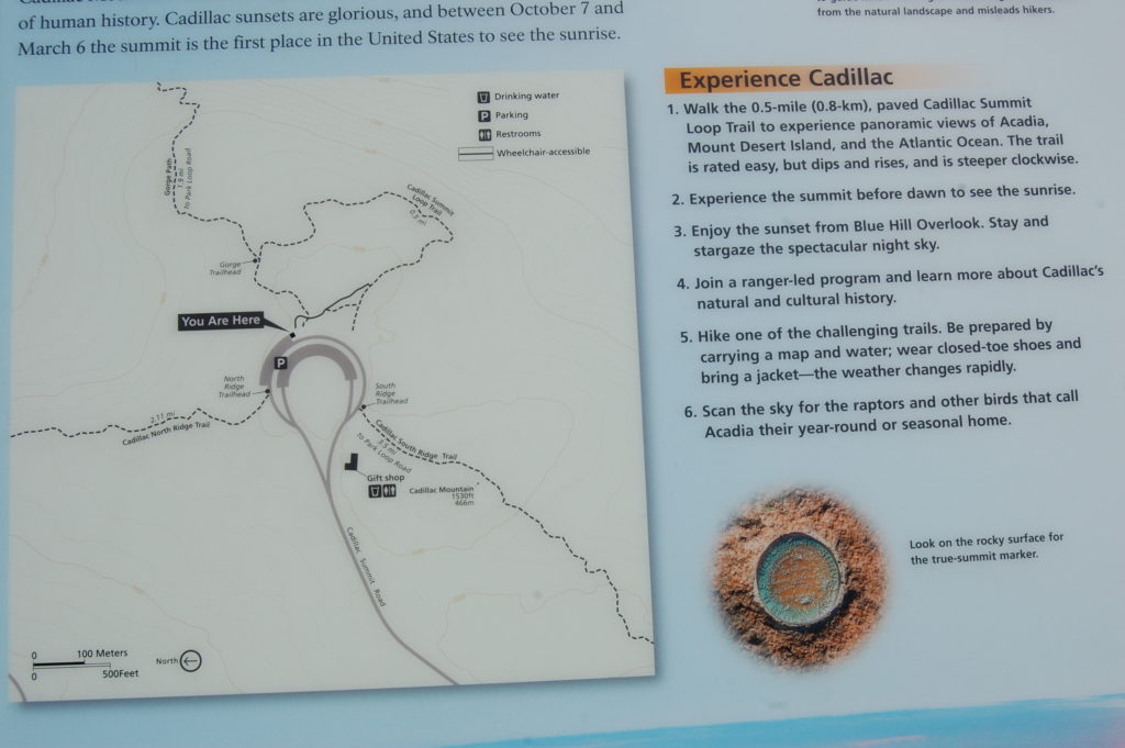
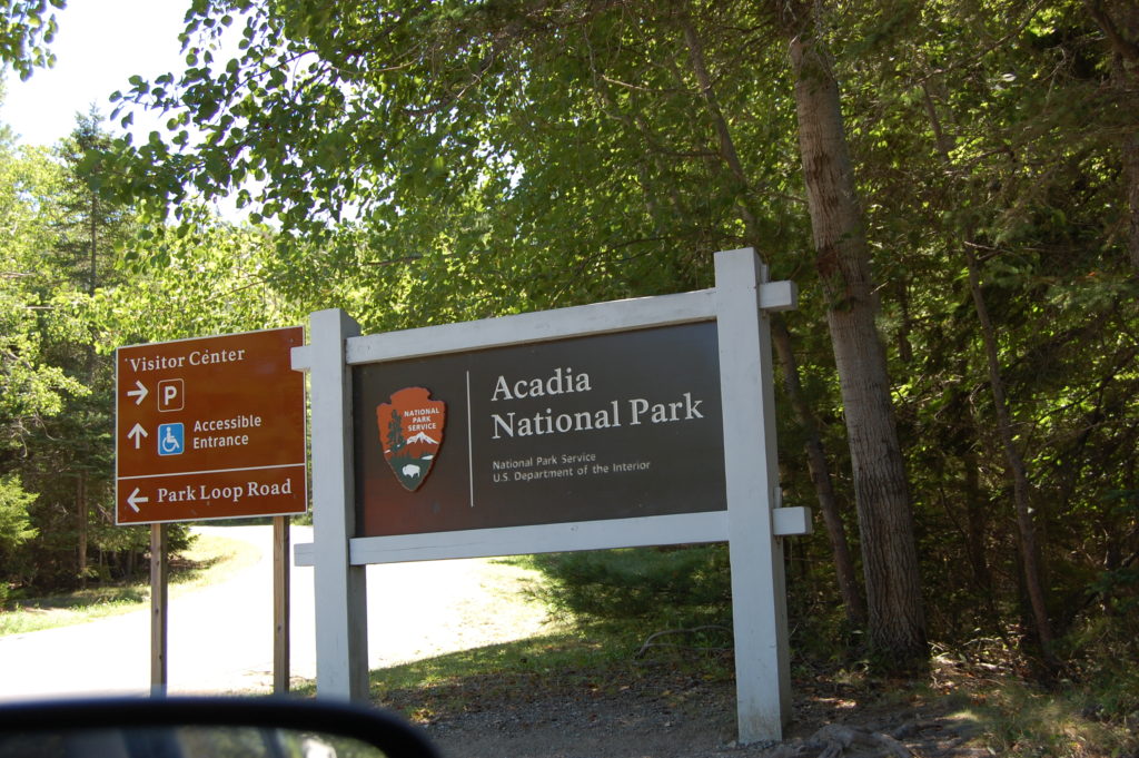
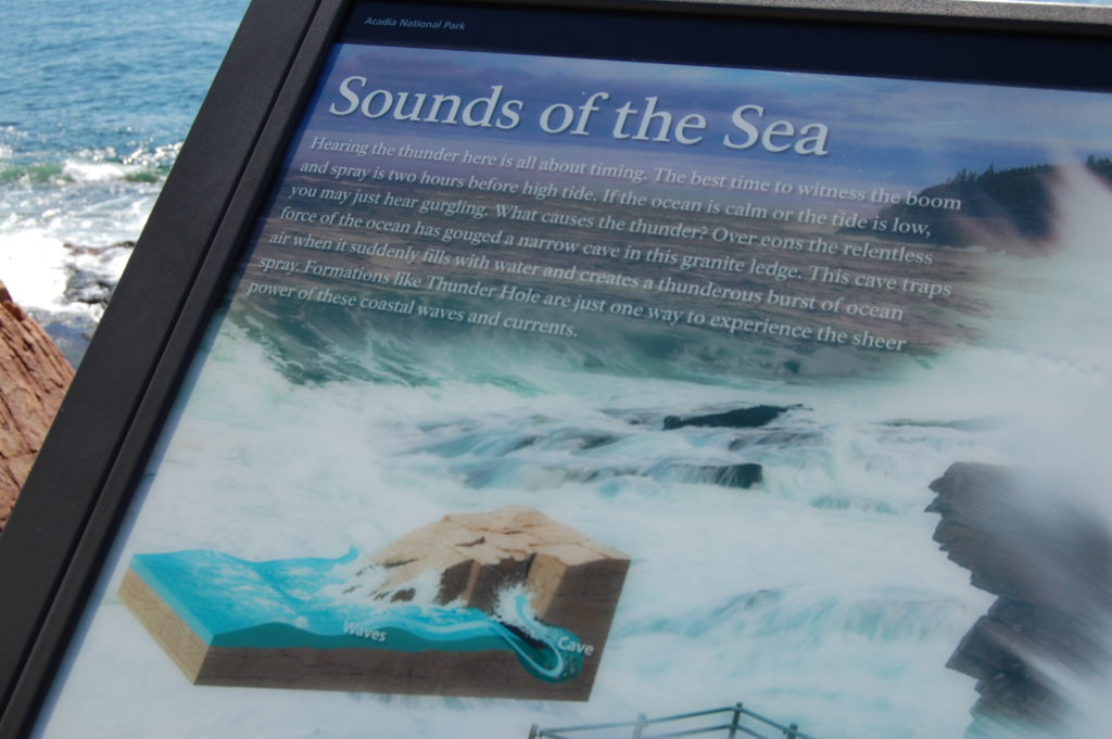
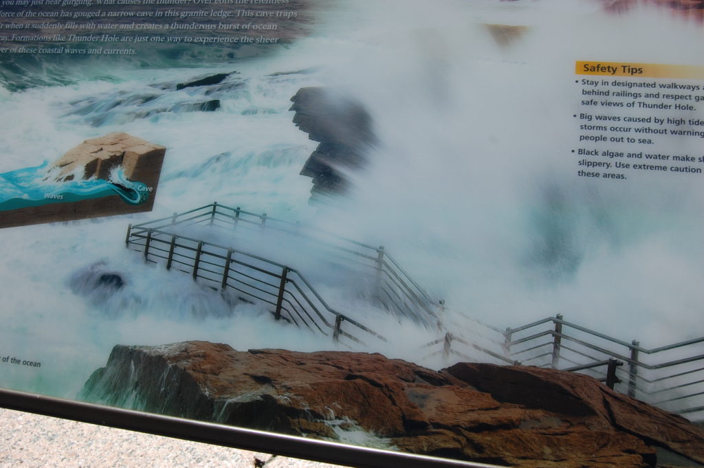
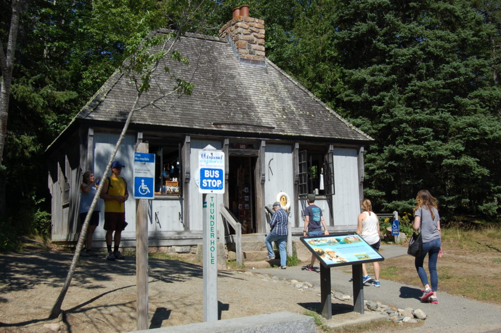
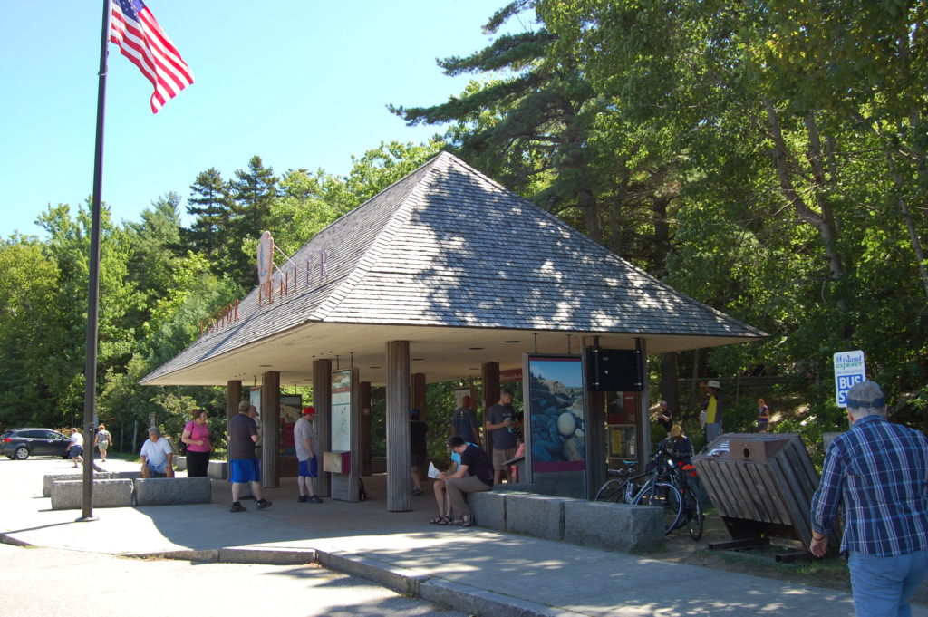
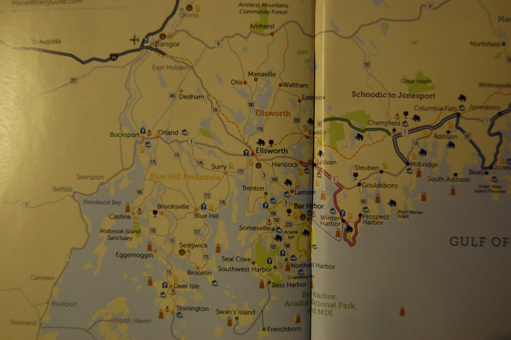
8.10 Friday : The following text is courtesy of National Park Service. (NPS texts in italics)
For the full write up click on the link below:
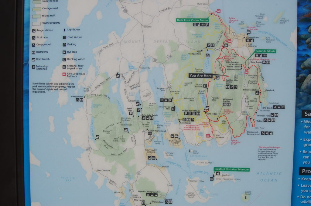
goto: AcadiaNat’l Park History
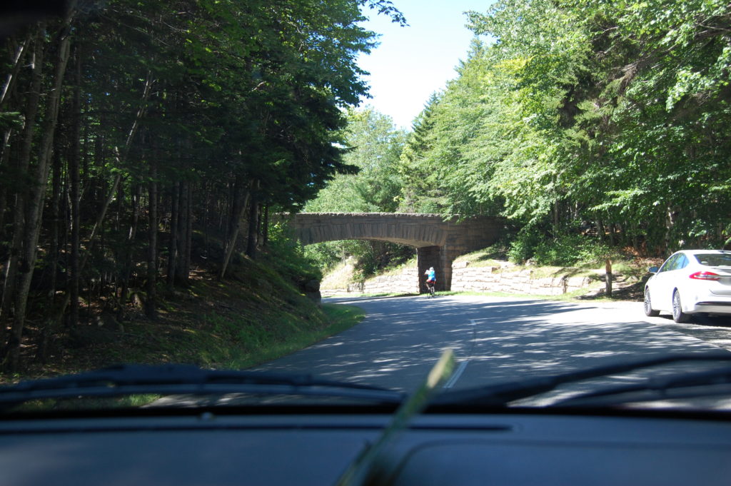
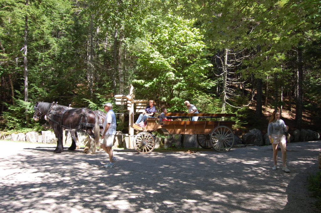
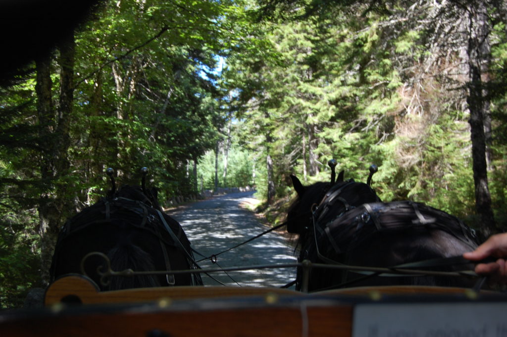
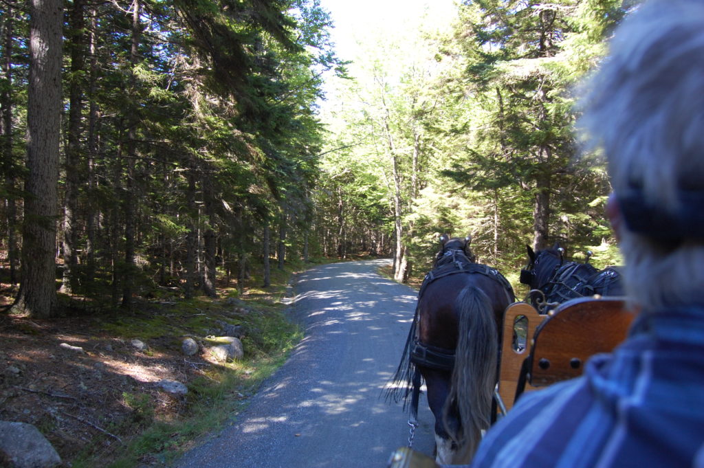
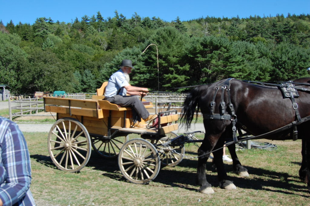
Forty-five miles of rustic carriage roads, the gift of philanthropist John D. Rockefeller Jr. and family, weave around the mountains and valleys of Acadia National Park. Rockefeller, a skilled horseman, wanted to travel on motor-free byways via horse and carriage into the heart of Mount Desert Island.
His construction efforts from 1913 to 1940 resulted in roads with sweeping vistas and close-up views of the landscape. His love of road building ensured a state-of-the-art system.
Rockefeller’s interest in road building grew naturally from his father’s. John D. Rockefeller Sr., the founder of Standard Oil, had built and landscaped carriage roads on his Ohio and New York estates. From his father the junior Rockefeller learned many techniques that he applied to building his Mount Desert Island carriage roads.
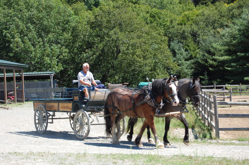
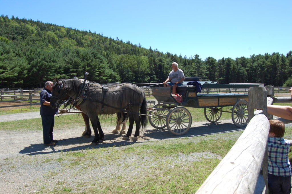
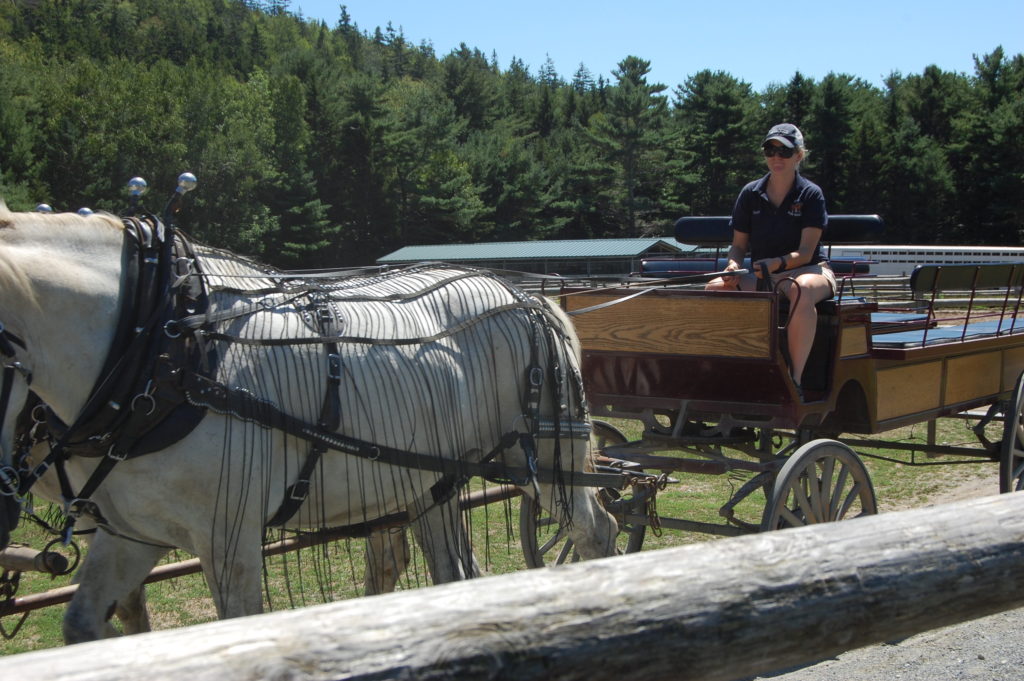
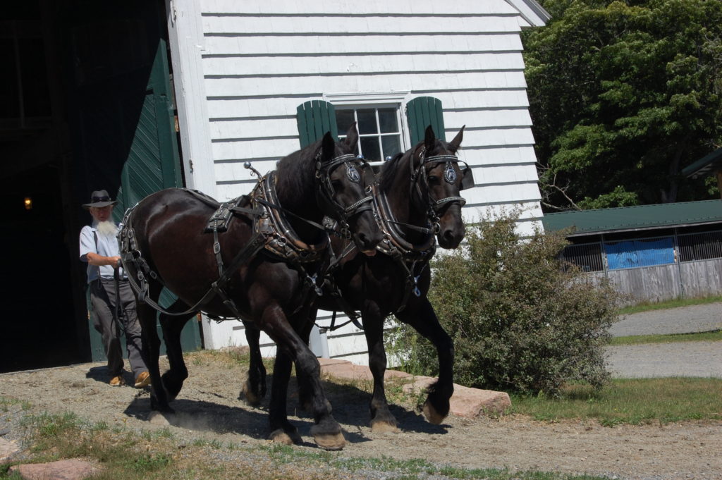
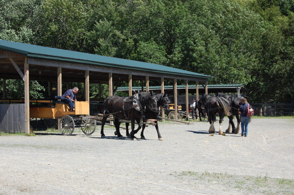
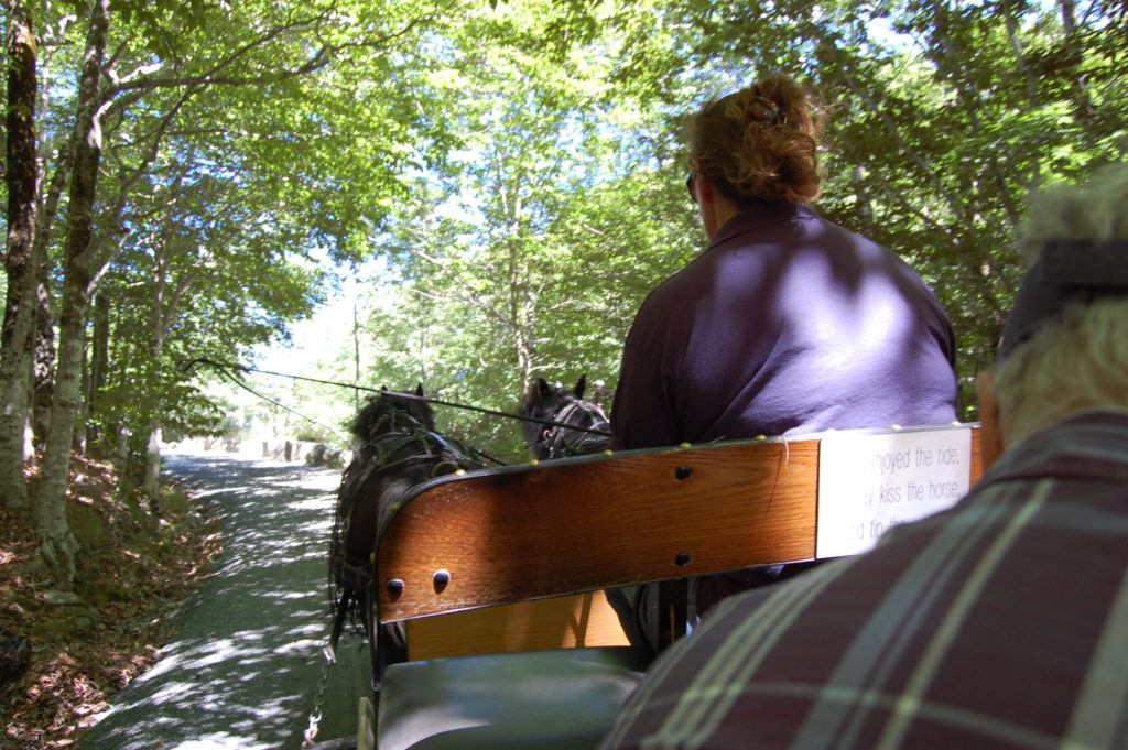
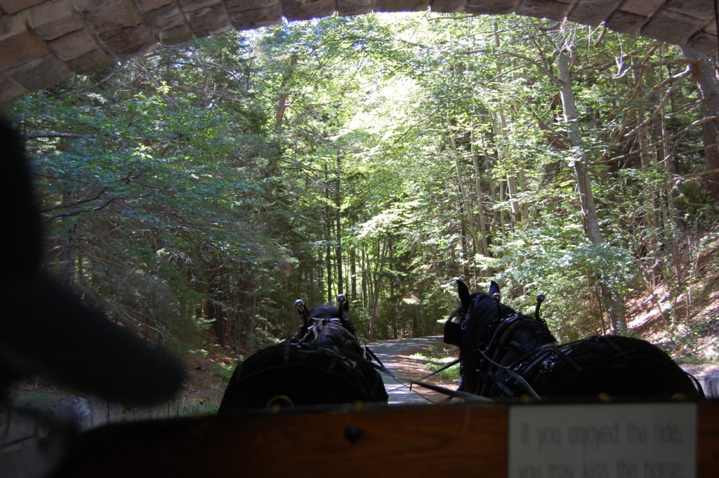
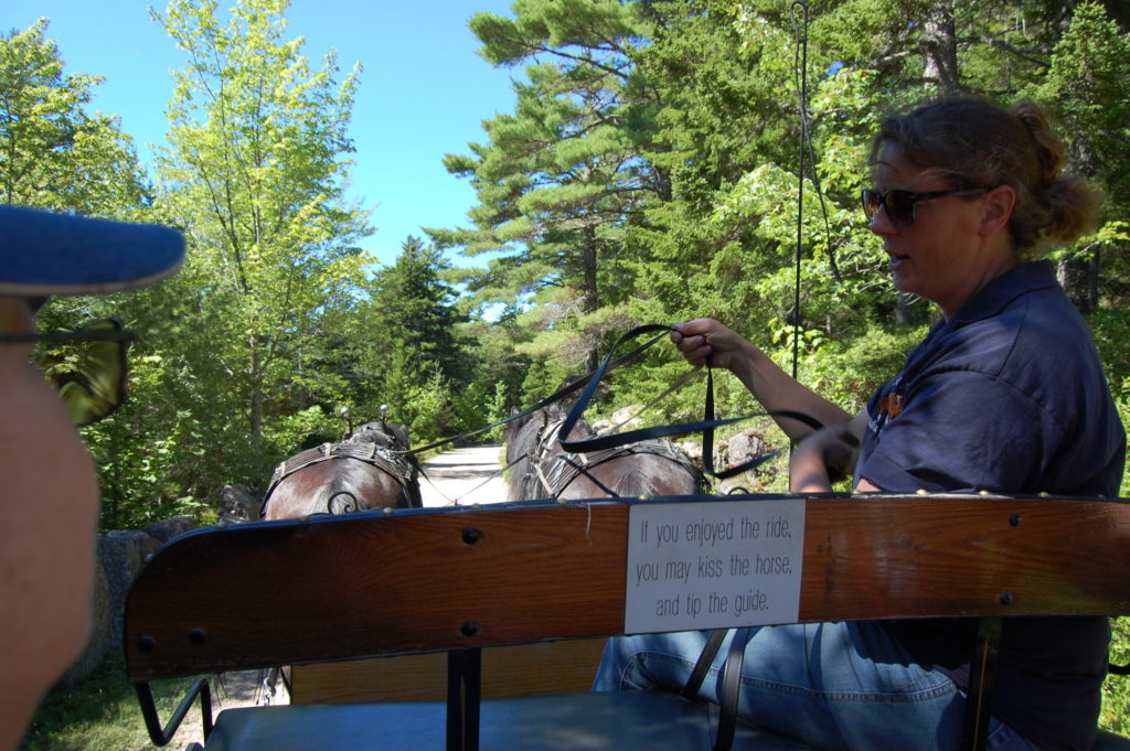
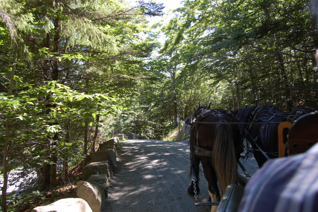
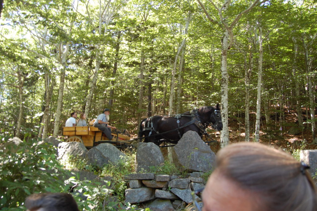
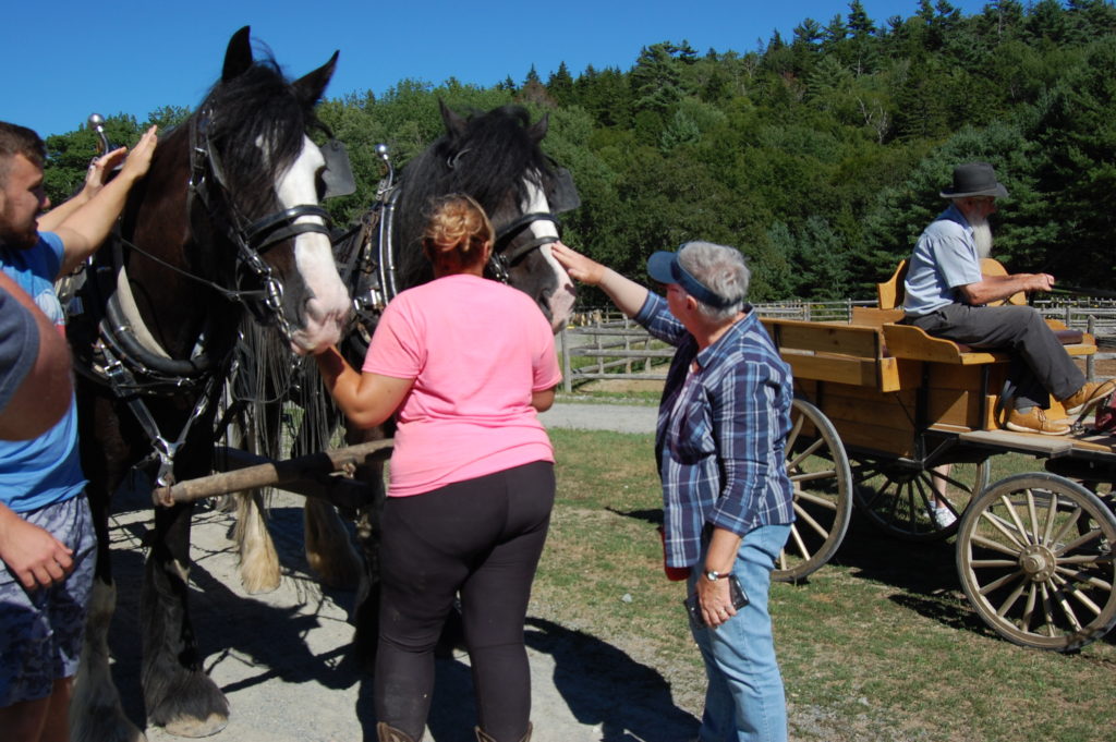
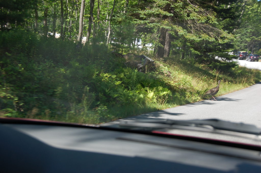
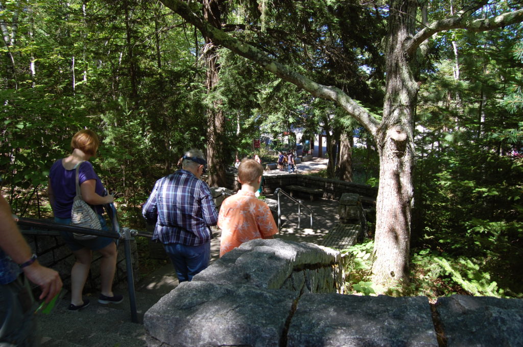
The park maintains a herd of twenty-four horses of different breeds to pull the carriages. The tourist trip to view bridges lasts about two hours then they are given a two hour respid. They never work three shifts. About every twenty minutes the park employee, giving the tour, would stop in a shady treed area to allow the horses to rest a bit. Our trip included at least three steep climbs. At the top of each hill the tour guide would give the horses a breather from the climb.
An Integrated System
Rockefeller participated in the construction process. He walked areas staked out for road alignment and observed work in progress. He knew the laborers by name and used experts to design the bridges and engineer the roads. Throughout it all, he paid rapt attention to the most minute details, from the placement of coping stones to the cost of a running foot of road.
State-of-the-Art Roads
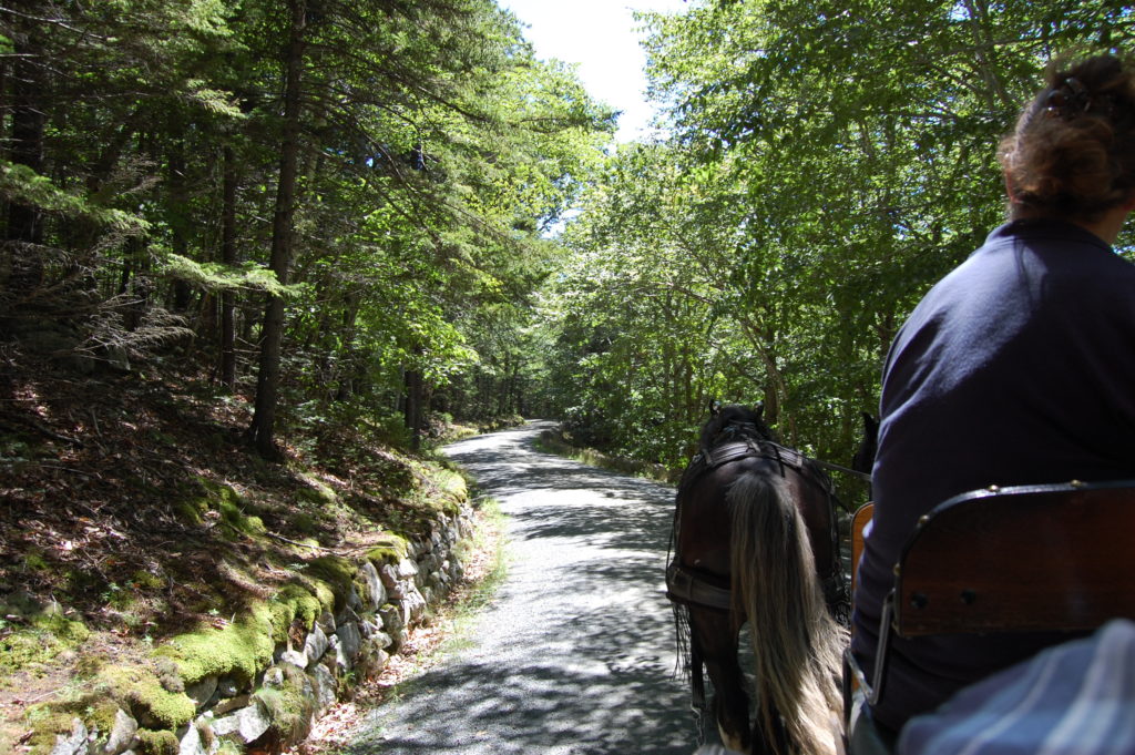
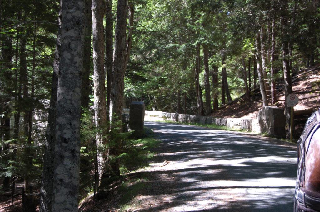
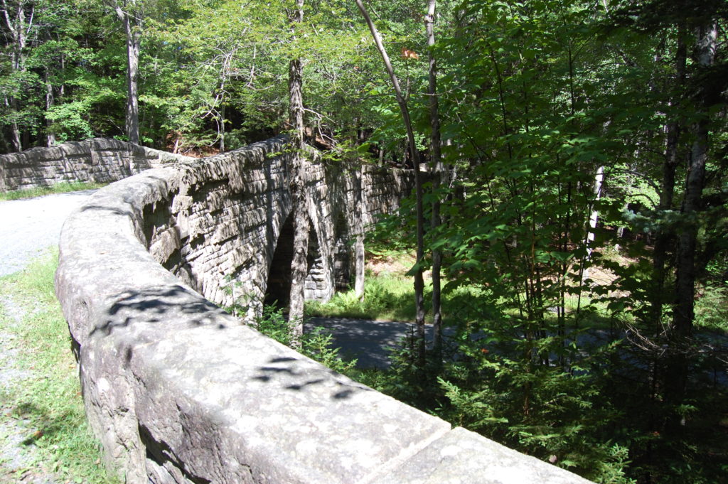
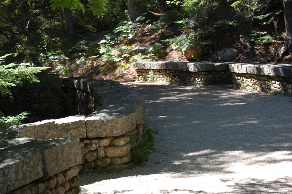
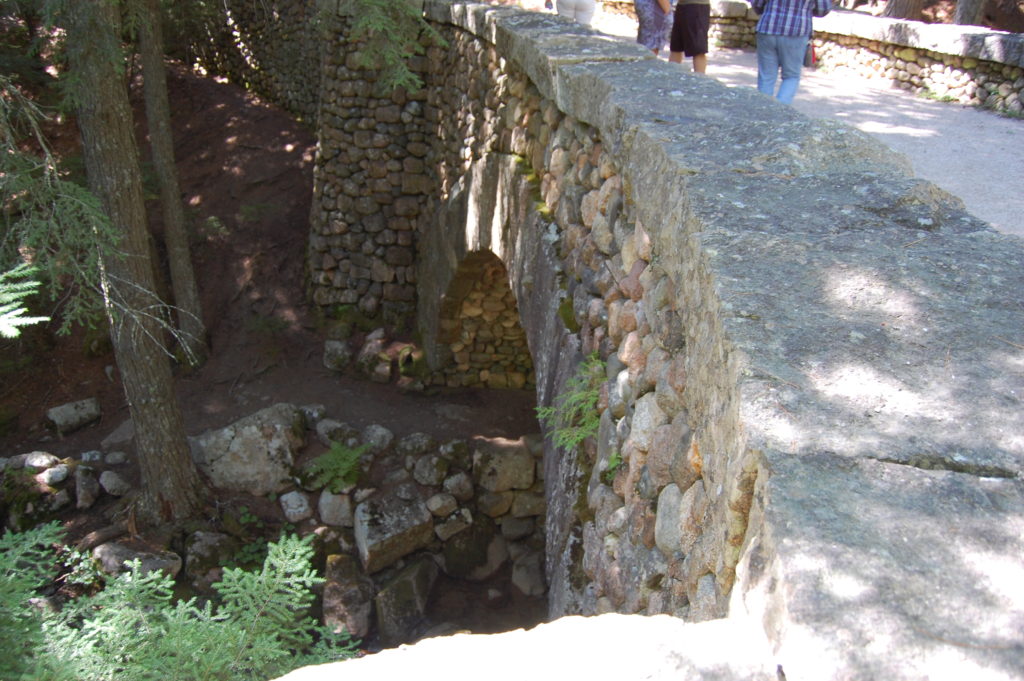
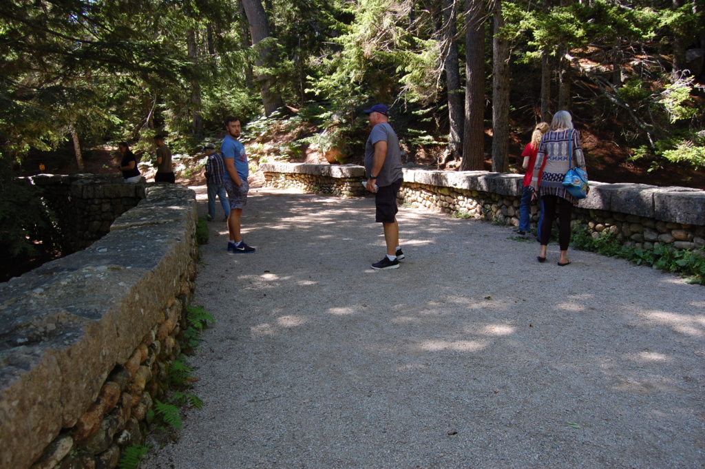
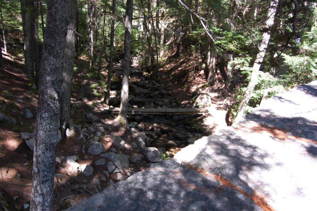
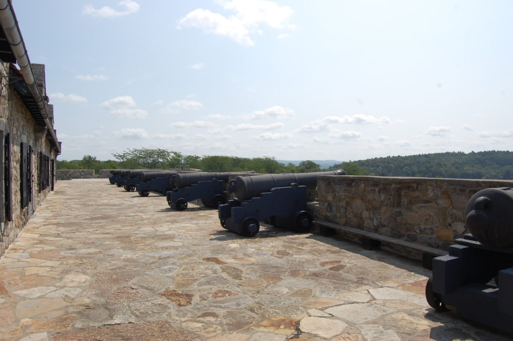
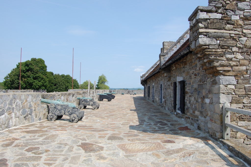
Acadia’s carriage roads are the best example of broken-stone roads—a type of road commonly used at the turn of the 20th century—in America today. They are true roads, approximately 16 feet wide, constructed with methods that required much hand labor.
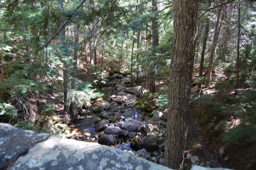
The roads were engineered to contend with Maine’s wet weather. Stone culverts, wide ditches, three layers of rock, and a substantial six- to eight-inch crown ensured good drainage. Rather than flattening hillsides to accommodate the roads, breast walls and retaining walls were built to preserve the line of hillsides and save trees. Rockefeller, naturally gifted with the eye of a landscape architect, aligned the roads to follow the contours of the land and to take advantage of scenic views. He graded the roads so they were not too steep or too sharply curved for horse-drawn carriages.
Road crews quarried island granite for road material and bridge facing. Roadsides were landscaped with native vegetation such as blueberries and sweet fern. The use of native materials helped blend the roads into the natural landscape.
The Carriage Roads Today
Maintaining the extensive carriage road system is no easy task, and the National Park Service could not do it alone. Between 1992 and 1995, an extensive rehabilitation of the carriage roads was financed by federal construction funds along with matching private funds from Friends of Acadia, a nonprofit organization dedicated to protecting the outstanding natural beauty, ecological vitality, and cultural distinctiveness of Acadia National Park and surrounding communities. Woody vegetation was removed from roads, shoulders, and ditches, and drainage systems were reestablished to arrest erosion. The crown and subgrade layers were restored, and new surface materials were applied to replace thousands of cubic yards washed away over the years. Coping stones were reset or replaced, and some of the historic vistas that once greeted horseback riders, carriage drivers, and walkers were reopened.
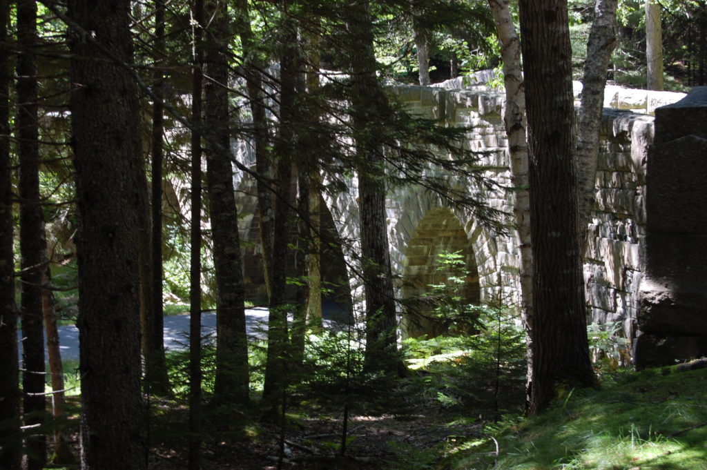
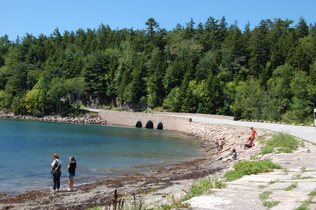
- Bridges
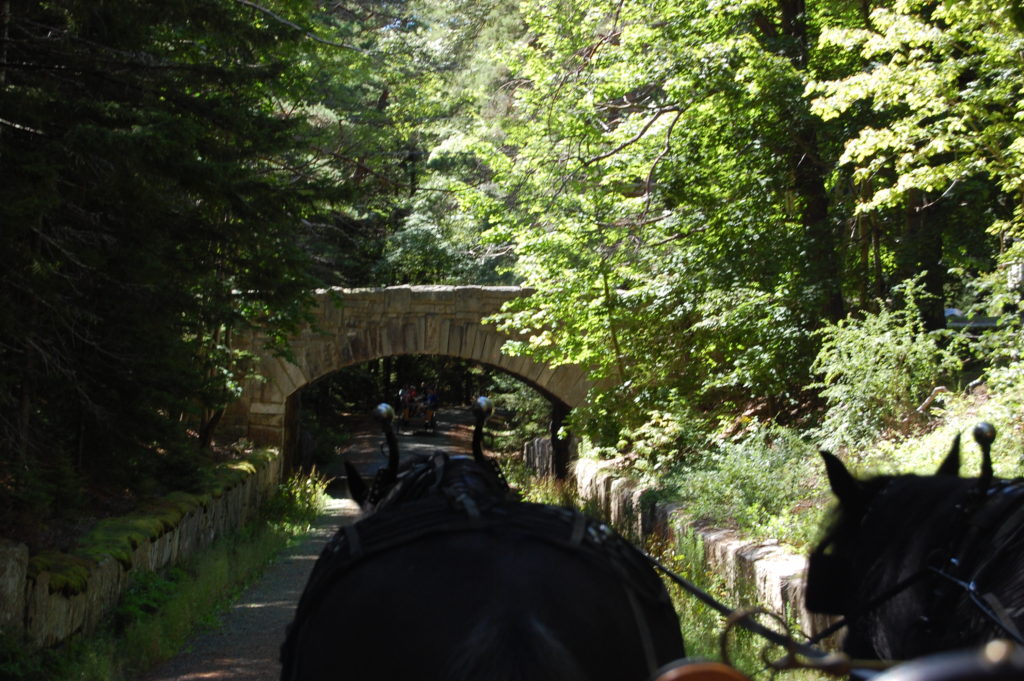
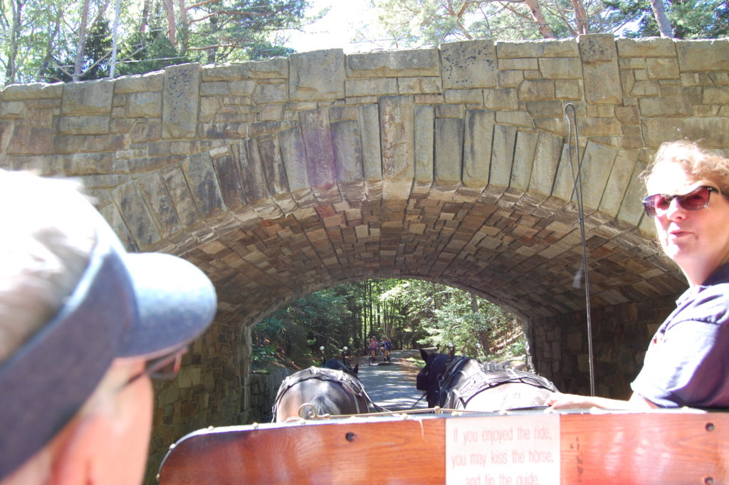
Rockefeller financed 16 of 17 stone-faced bridges, each unique in design, to span streams, waterfalls, roads, and cliffsides. The bridges are steel-reinforced concrete, but the use of native stone for the facing gives them a natural appearance. Over time, the stone cutters grew very skilled and Rockefeller often requested them not to cut the facing too well lest the rustic look be lost.
To ensure that the carriage roads will continue to be maintained close to their original condition, the park has formed a partnership with Friends of Acadia. In 1995, Friends of Acadia established an endowment to help protect the carriage roads in perpetuity. Each year, the organization contributes more than $200,000 from this endowment to the park for carriage road maintenance. Volunteers working under the guidance of Friends of Acadia contribute thousands of hours cleaning ditches and culverts, clearing brush, and assisting park staff with other restoration projects. The commitment demonstrated by Friends of Acadia in maintaining the carriage roads is only one of many ways the organization helps support the park.
A portion of park user fees, authorized by the Recreational Fee Demonstration Program, also helps fund carriage road maintenance. Between 2001 and 2004, federal funds and park user fees paid for a major re-pointing, cleaning, and water-proofing of all carriage road bridges within the park. User fees have also funded annual projects, including repairing stone walls and opening overgrown vistas. More than one hundred vistas have been cleared in the past ten years.
- Roadside Grooming and Landscaping
Rockefeller employed a crew of foresters to remove debris from the roads and roadsides. Nationally known landscape architect Beatrix Farrand consulted on planting designs to frame vistas and bridges and to heal scars left behind by carriage road construction. The Fire of 1947 destroyed much of her work.
Rockerfeller employed only local road and bridge builders. Once the Park authority was created workers from all over the country wee employed for the roads and bridges, but when it came to projects onhis property he insisted only local talent be used. The town and state appreciated his employment strategy and in thanks would go along with almost all of his ideas for the park.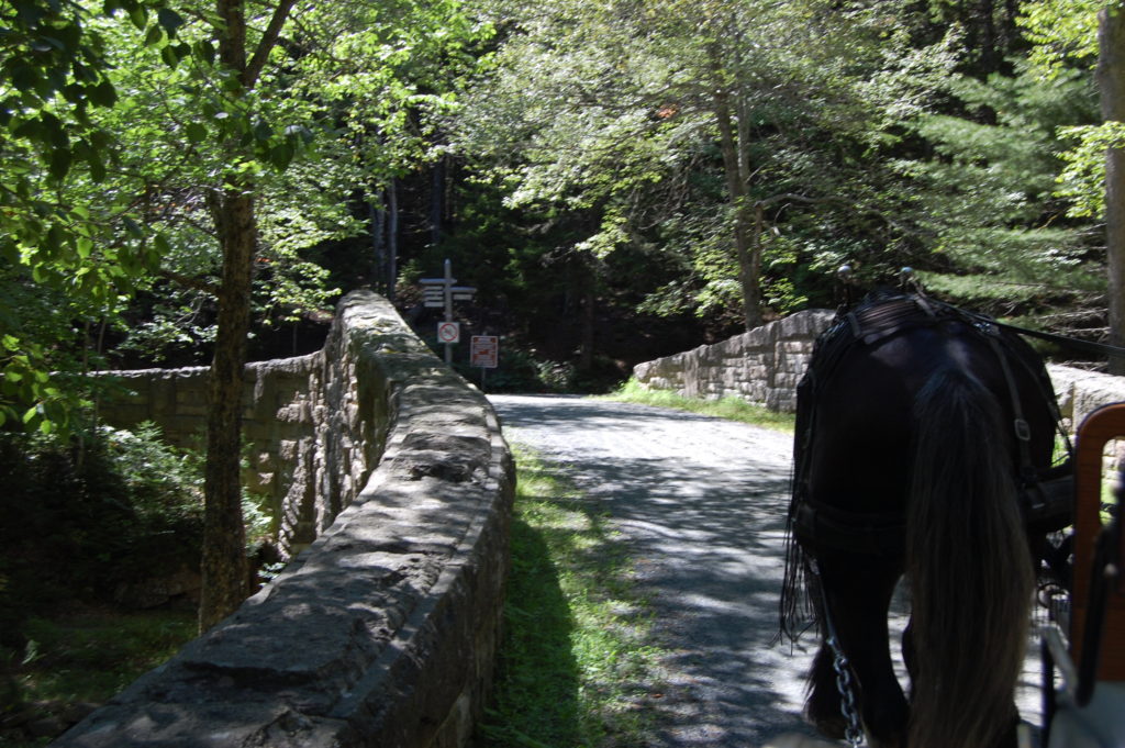
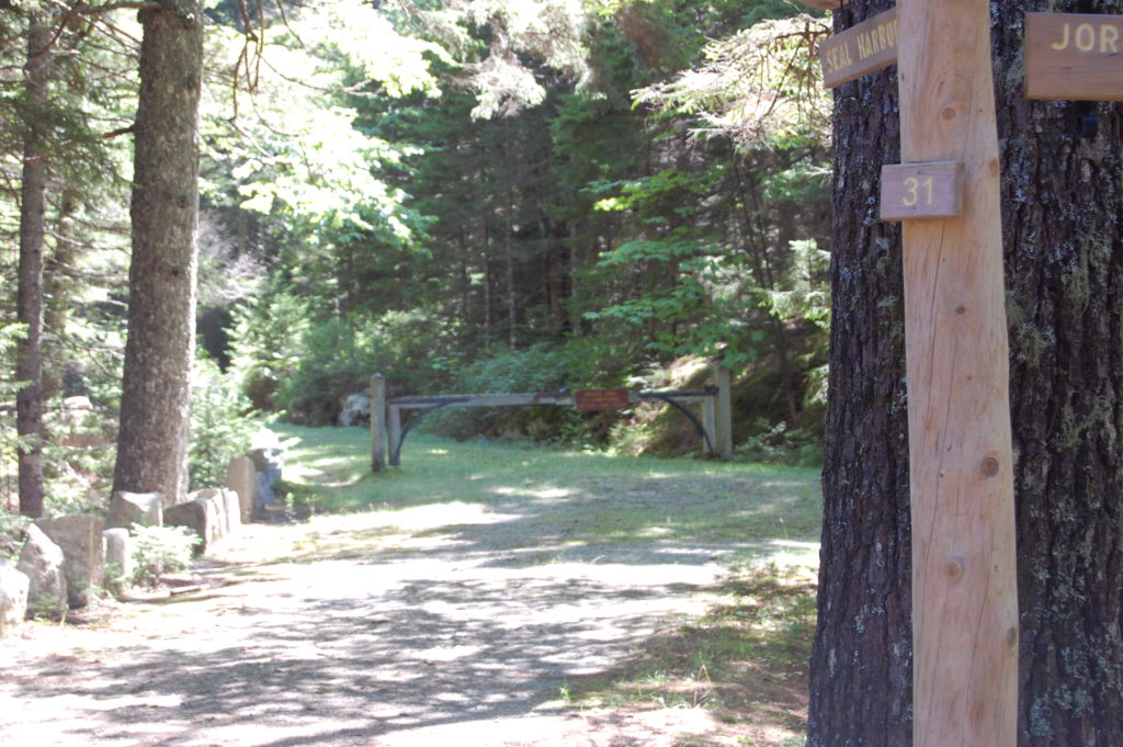
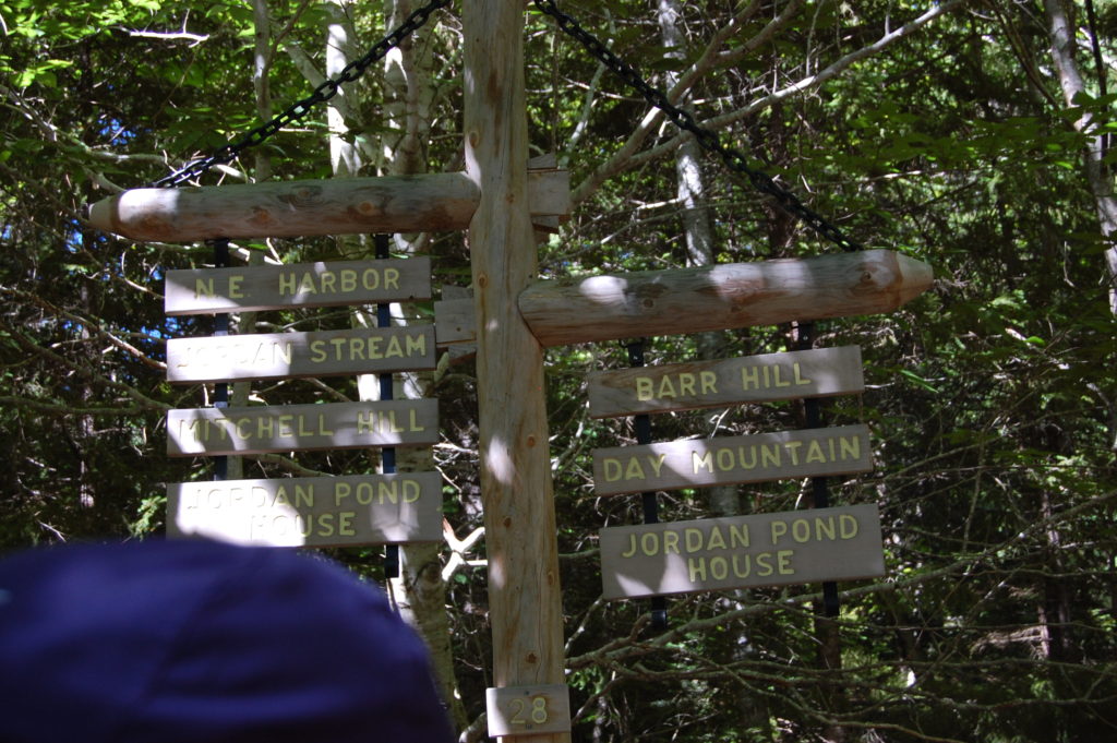
- Signposts
Cedar signposts were installed at intersections to direct carriage drivers. The posts were stained with Cabots shingle stain #248. The lettering was painted first with one coat of flat yellow paint, then with another coat of enamel yellow. Today, numbers that match maps and guidebooks are attached to the signposts and help carriage road users find their way.
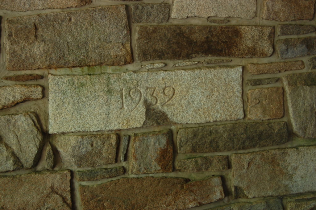
Most bridges were constructed in about one year. This one was much bigger and took a couple of years to construct.
Rockerfeller insiisted that at the ends of each bridge tree should be planted, if none were there already, so the horses could rest and, most importantly, the riders could stop in shaded comfort to admire his construction abilities.
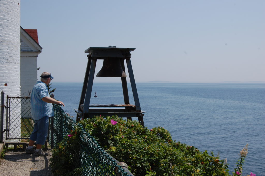
Below would be the residence of the gatekeeper. If a guest would come they would arrive at the closed gate and with his whip would swipe the arm of the bell to announce to the gate keeper that they had arrived. The gatekeeper would then come out, unlock the gate and let them in.
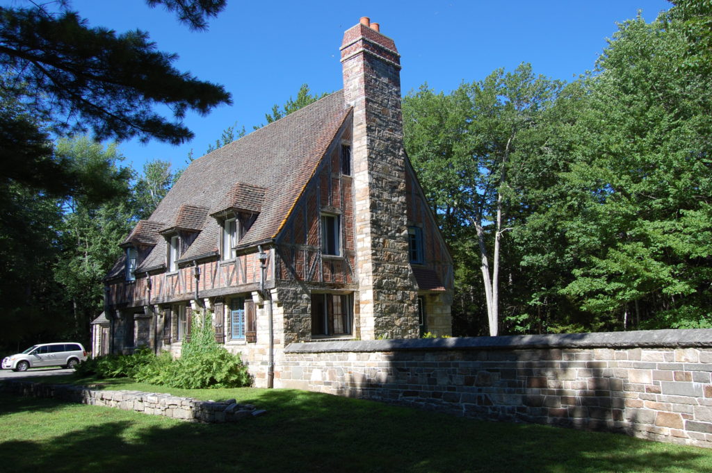
- Gate Lodges
Two gate lodges, one at Jordan Pond and the other near Northeast Harbor, ornament the roads and serve as impressive welcomes to the system. A third gate lodge was planned at Eagle Lake, but was never built. During carriage road construction, engineer Paul Simpson and his family lived at the Jordan Pond Gate Lodge.
The result of Rockefeller’s vision and attention to detail is an integrated system of carriage roads that blends harmoniously with the landscape.
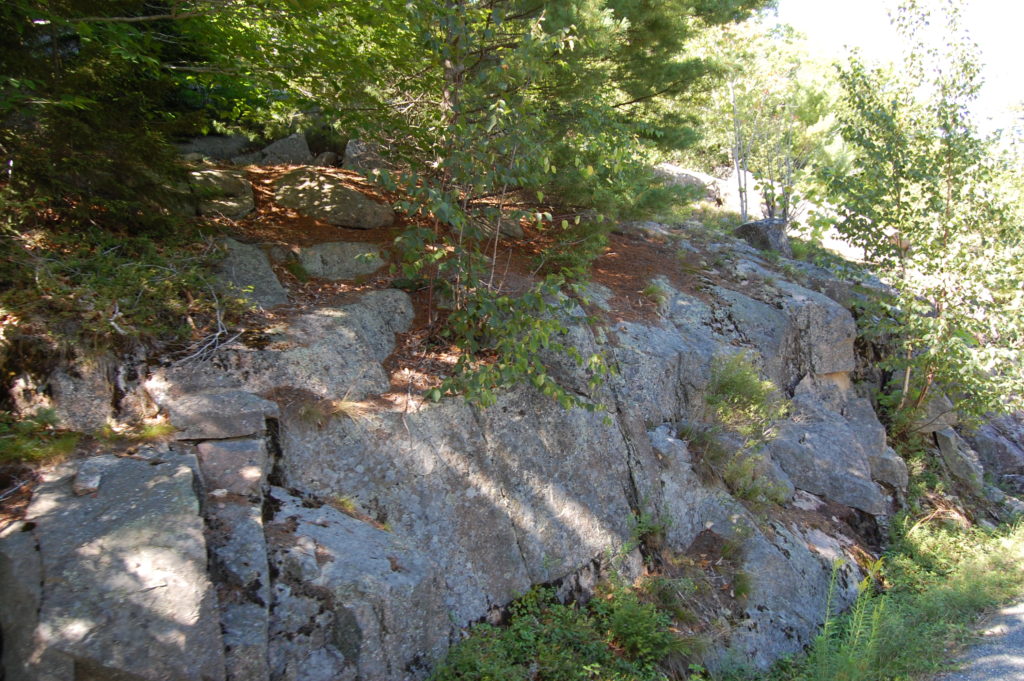
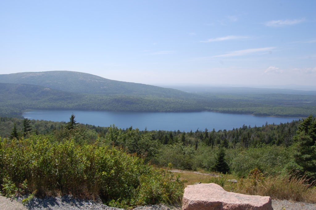
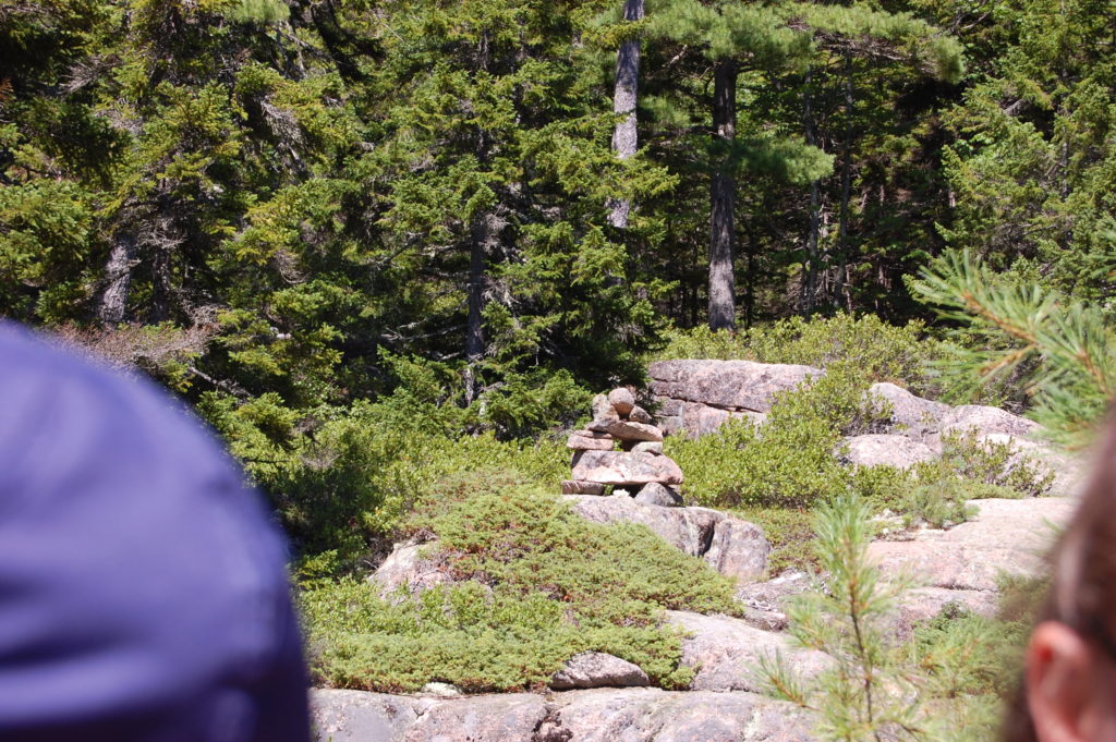
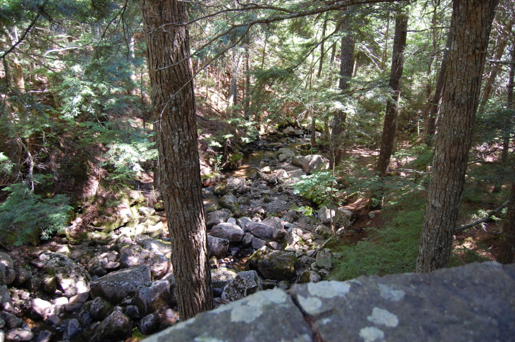
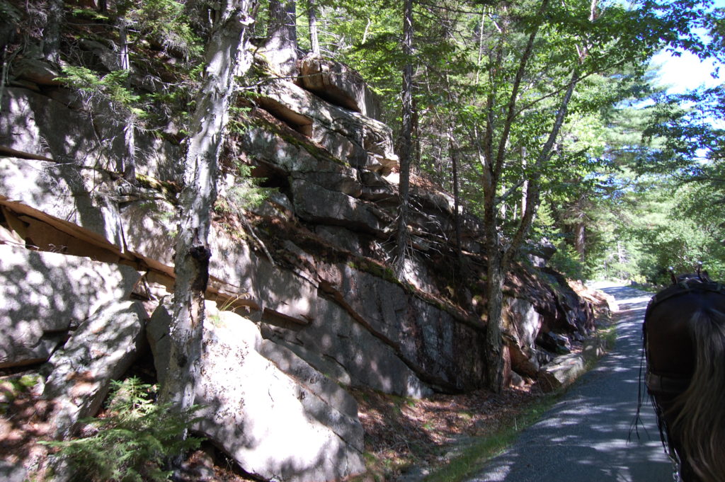
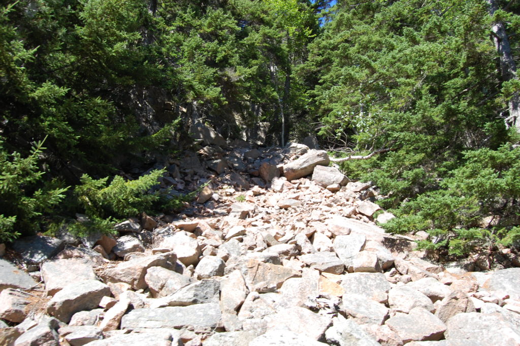
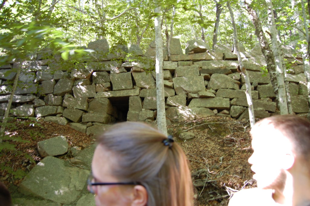
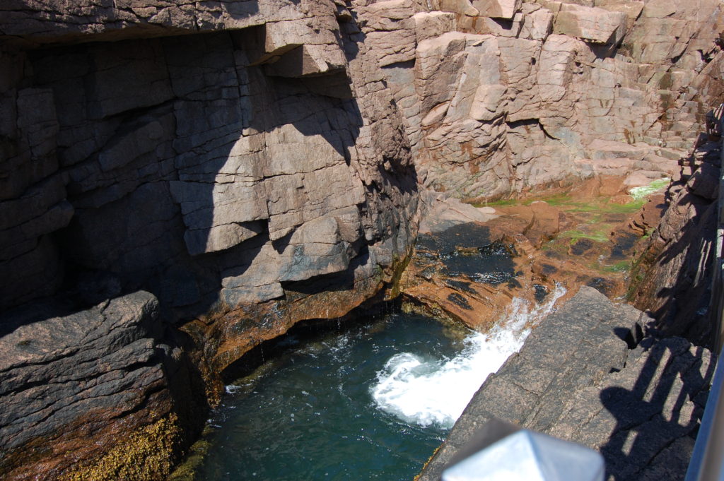
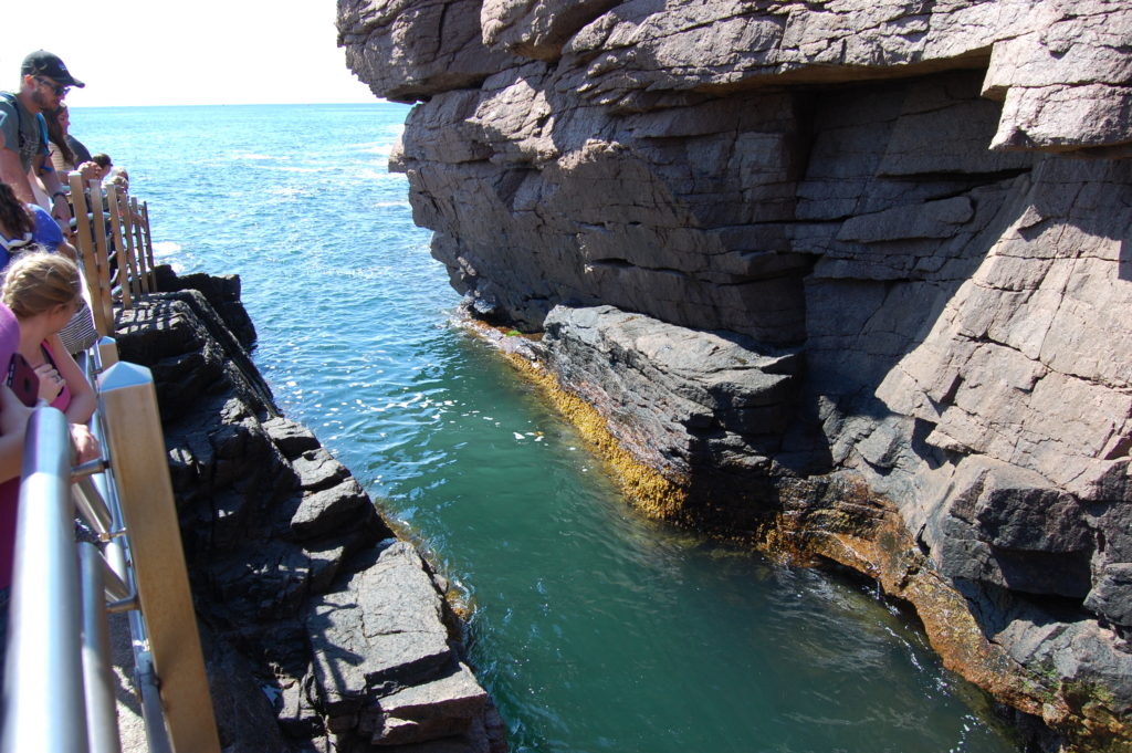
These rocks were sheered off from the tops of the mountains and carried by the glasier of 25,000 years ogo and deposited in the lower portions of the park.
- Coping Stones
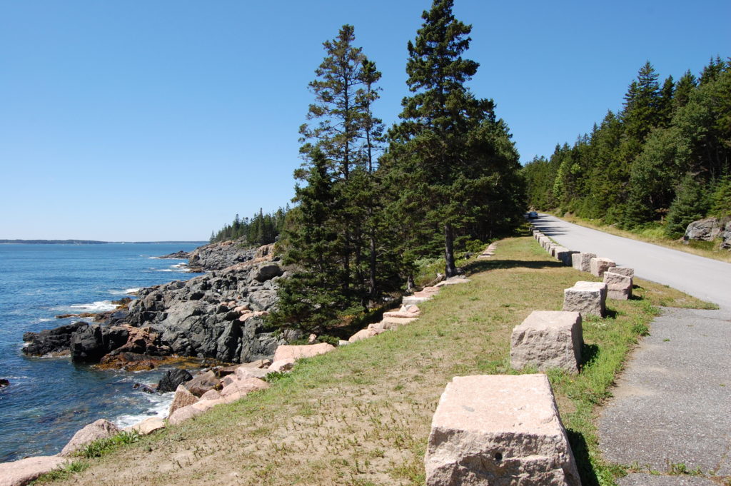
Large blocks of granite lining the roads serve as guardrails. Cut roughly and spaced irregularly, the coping stones create a rustic appearance. These coping stones have been affectionately called “Rockefeller’s teeth.”
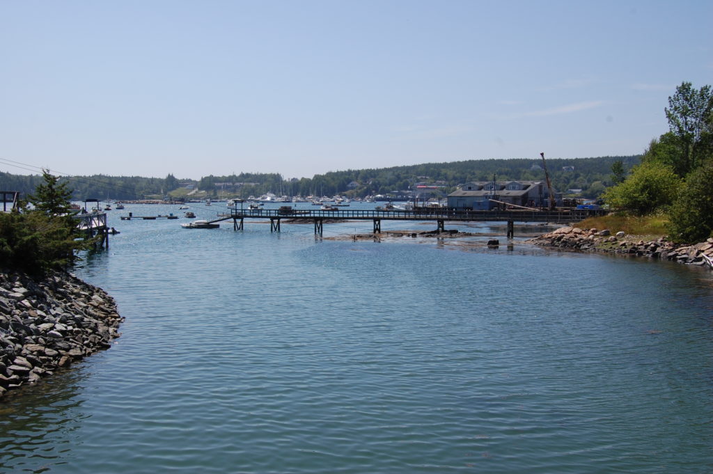
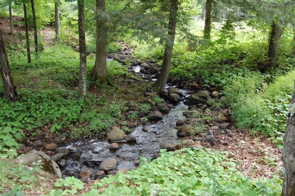
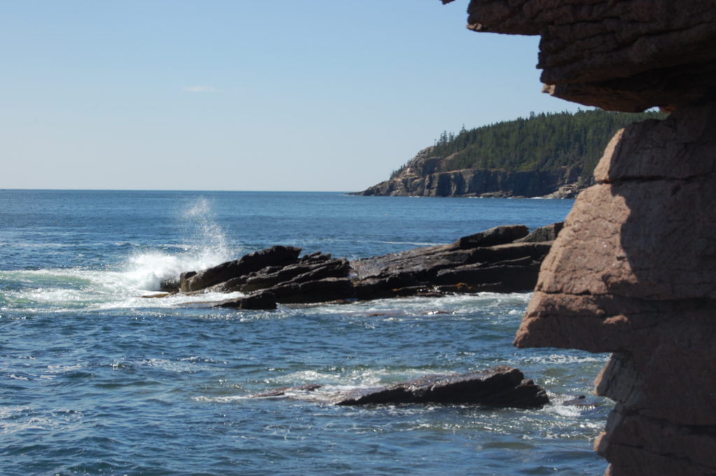
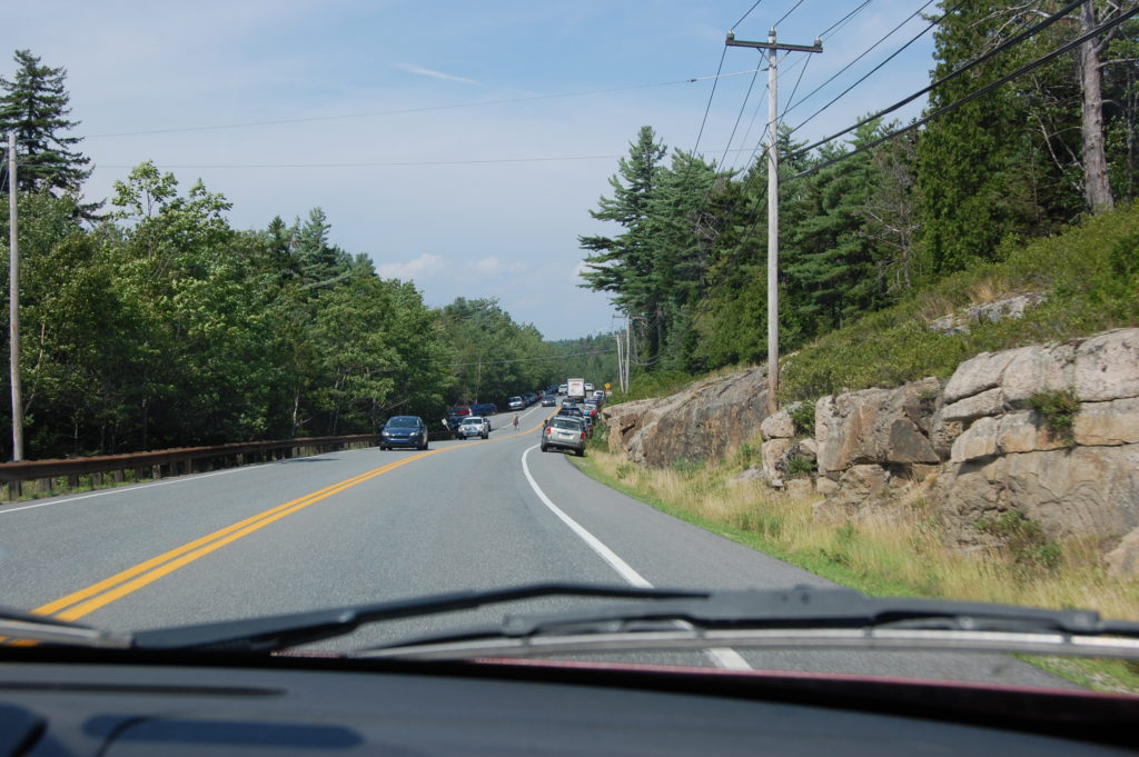
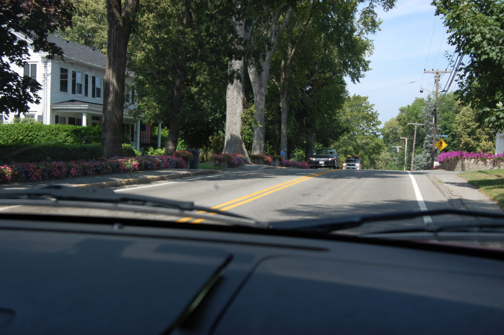
The roads were initially constructed to provide a culvert for water from the rains could drain off. If this were not done the water, much of it, would have nestled in the ground and when the winter cold temperatures would come the ice could easily destroy the roads. Below we are returning home and our trip is virtually done. Of the almost seventy bridges that were constructed on the Rockefeller grounds we only experienced three on this trip. A couple of “bridge pictures” were incorporated in this section from our other travels in the park area.
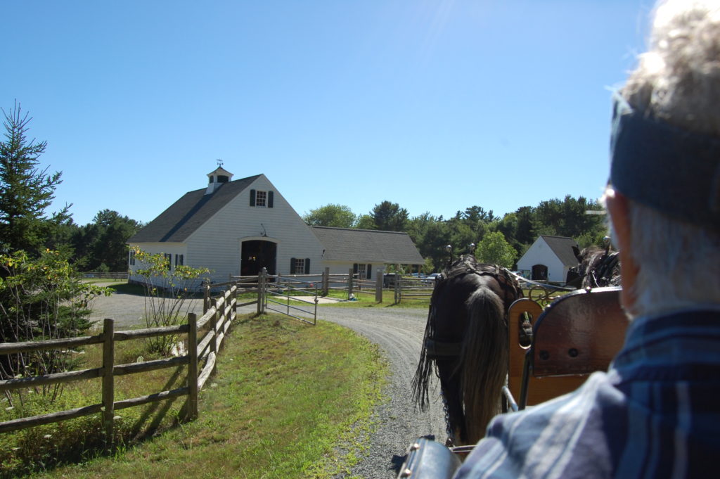
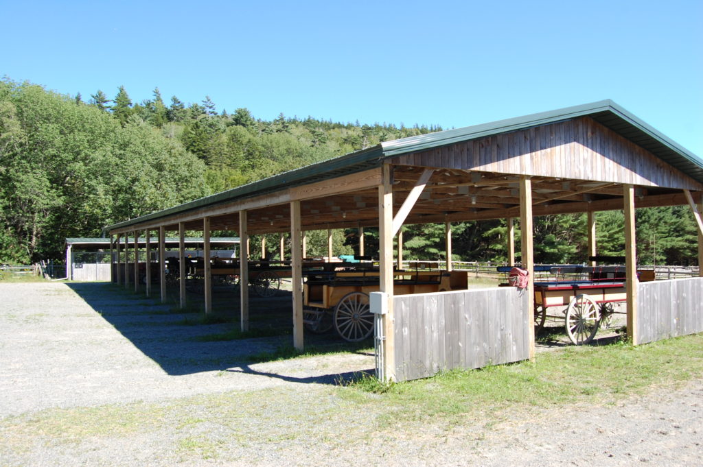
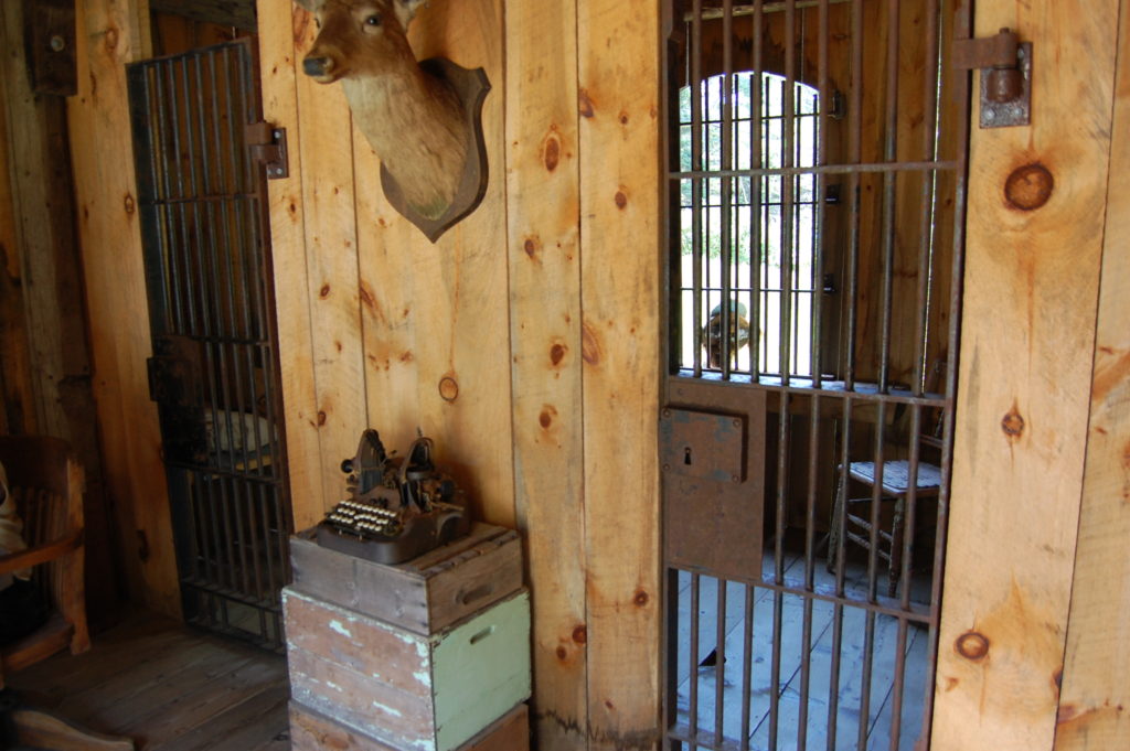
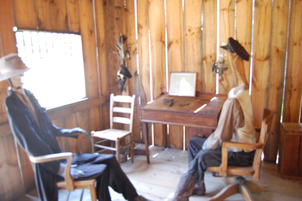
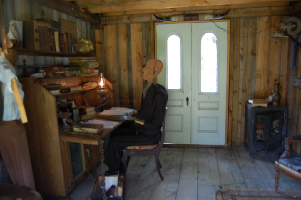
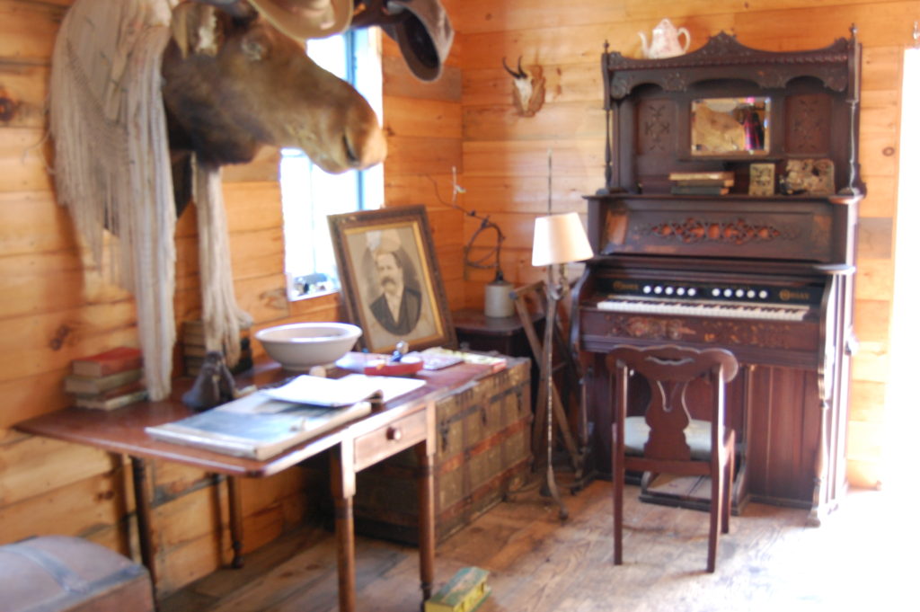
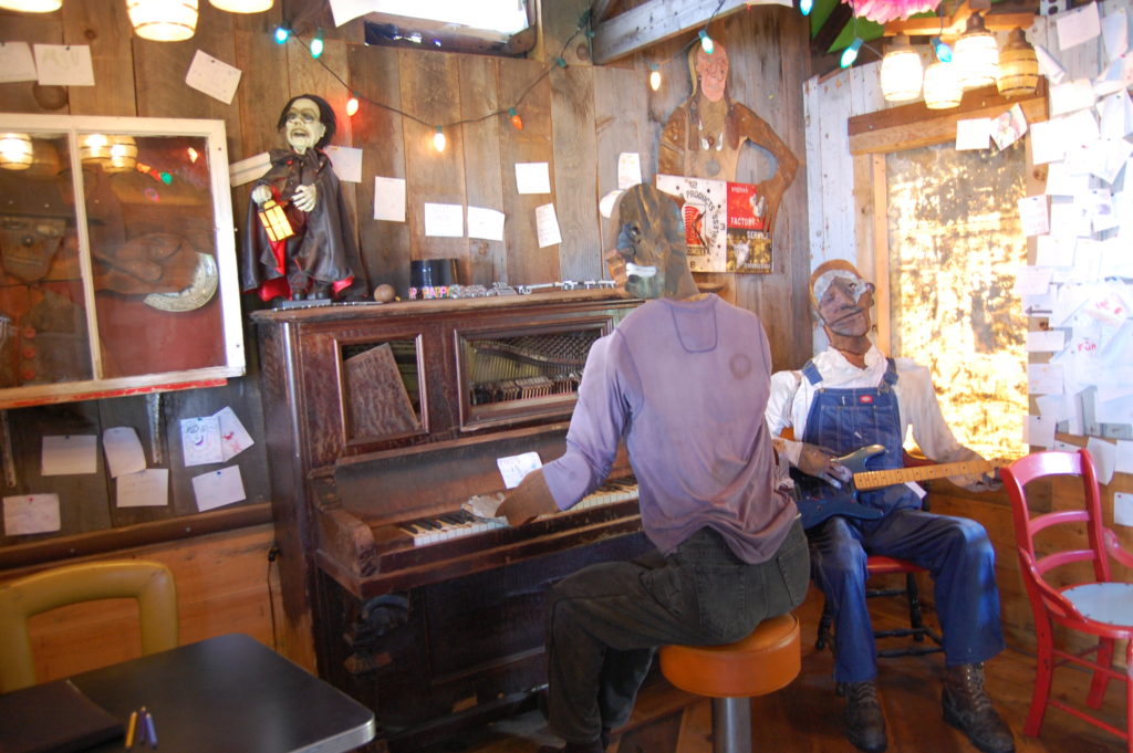
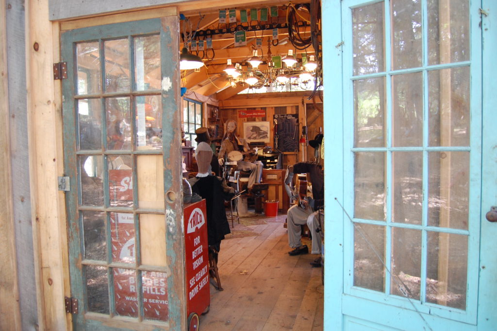
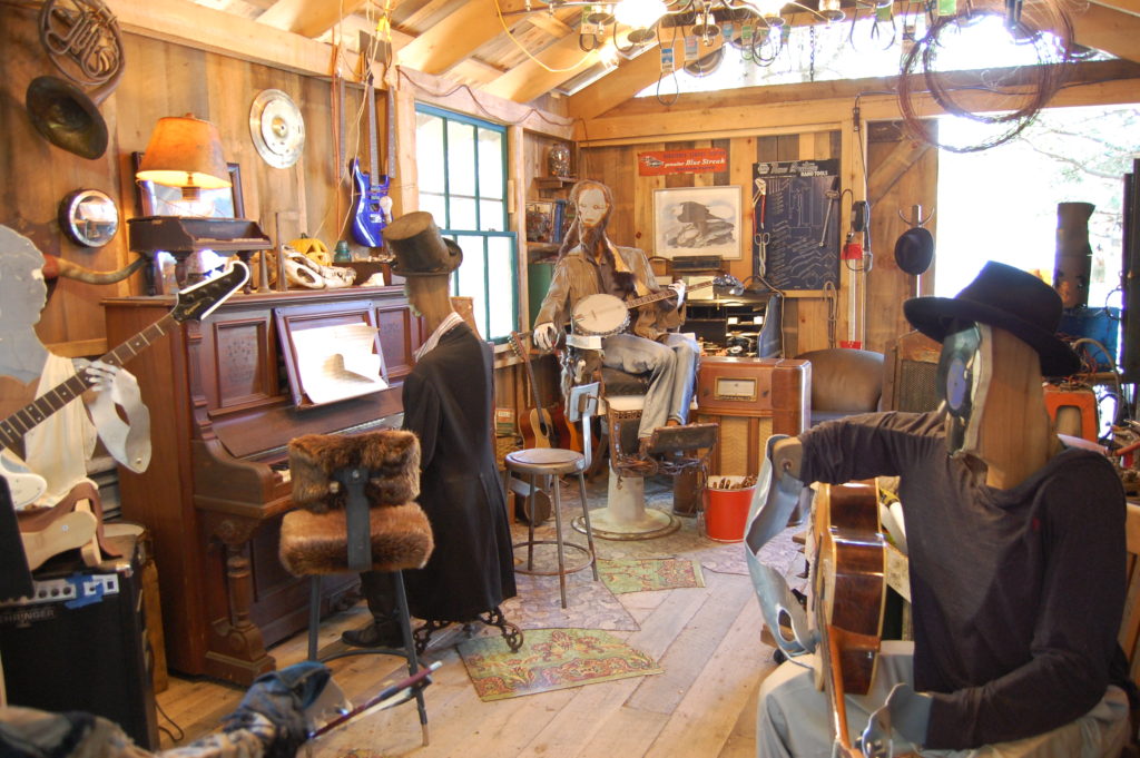
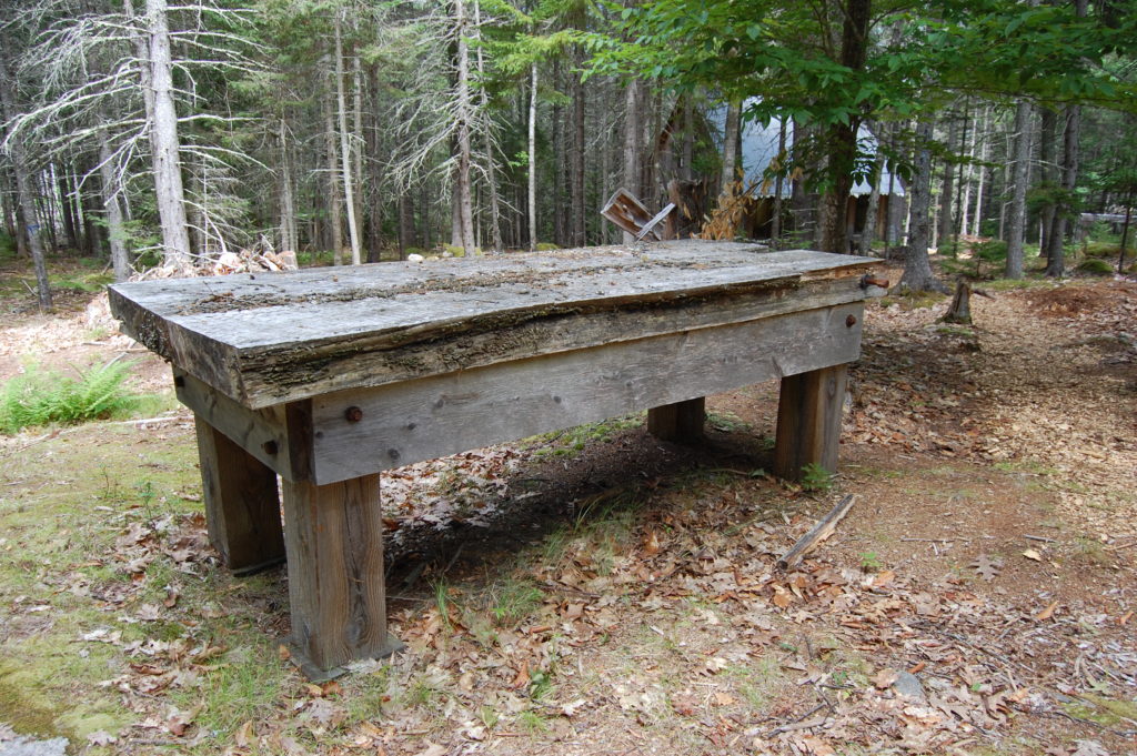
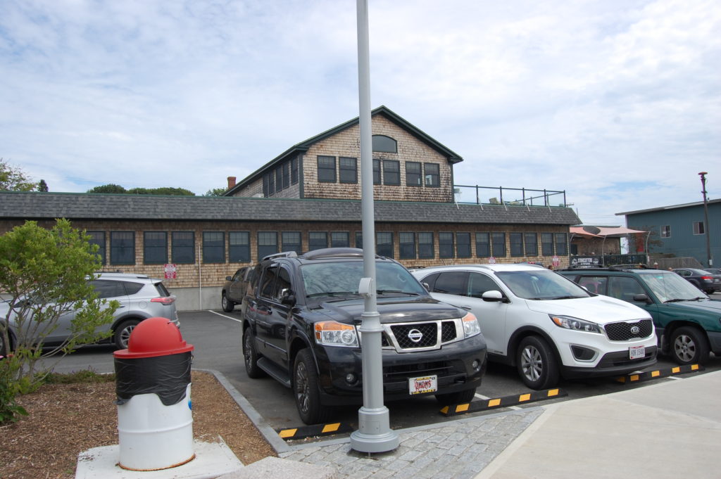
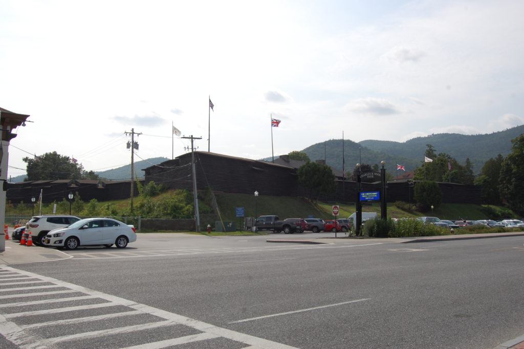
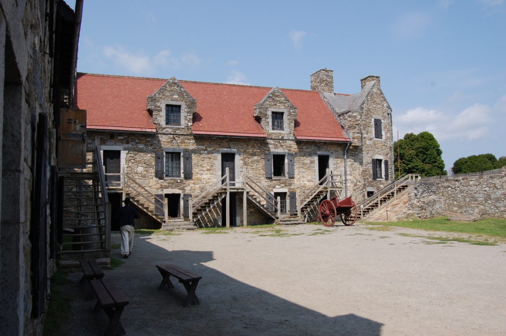
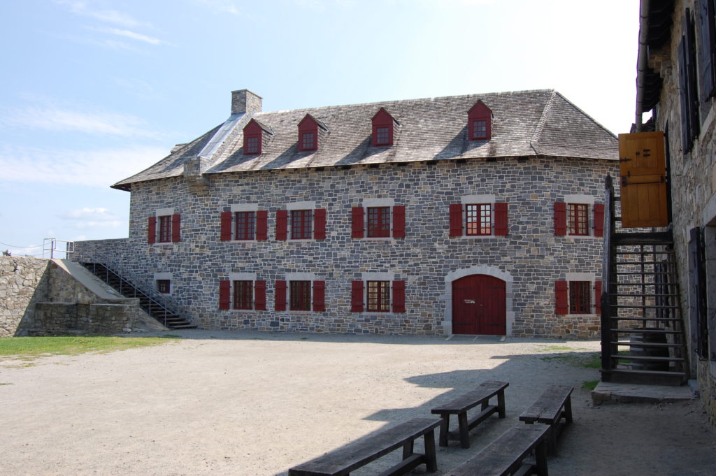
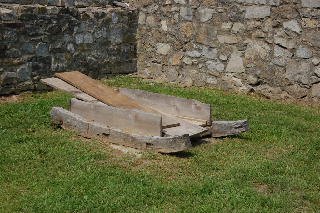
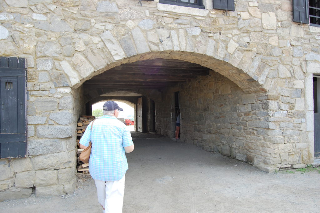
The carriage barn.

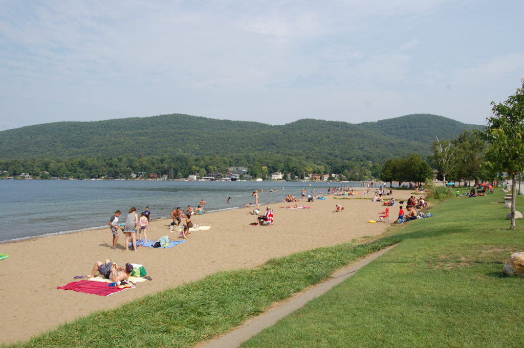
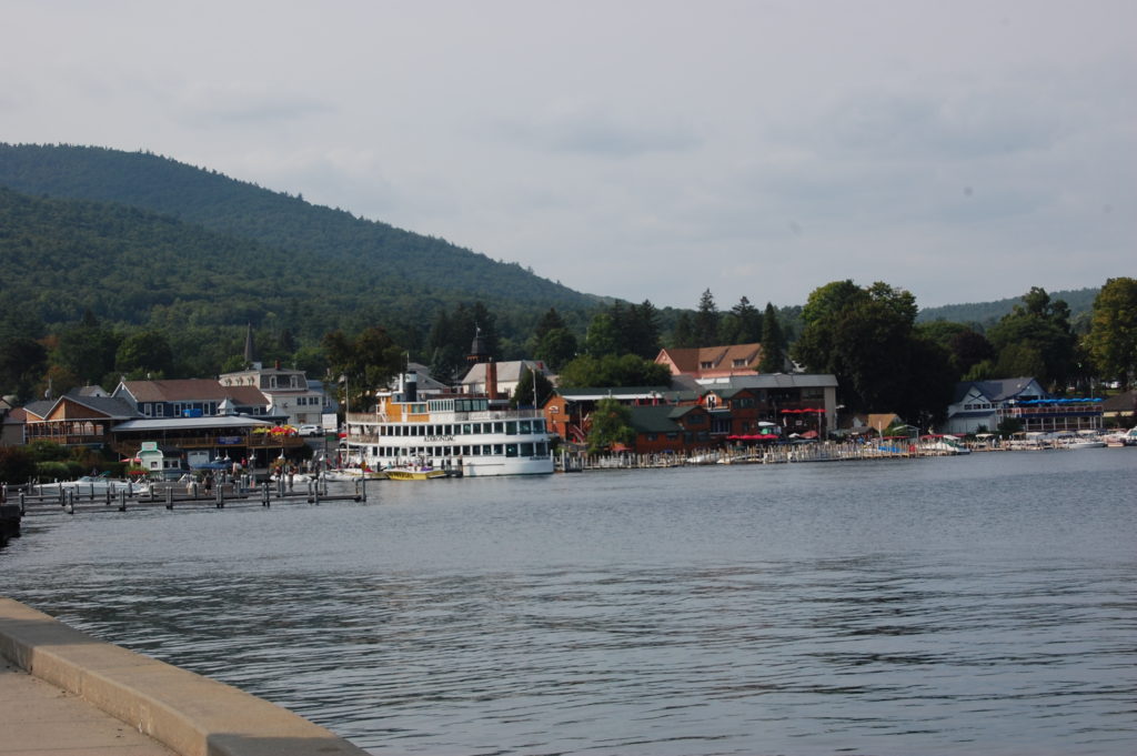
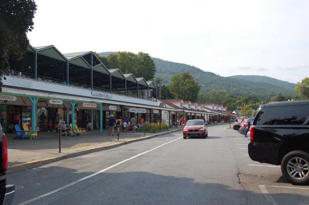
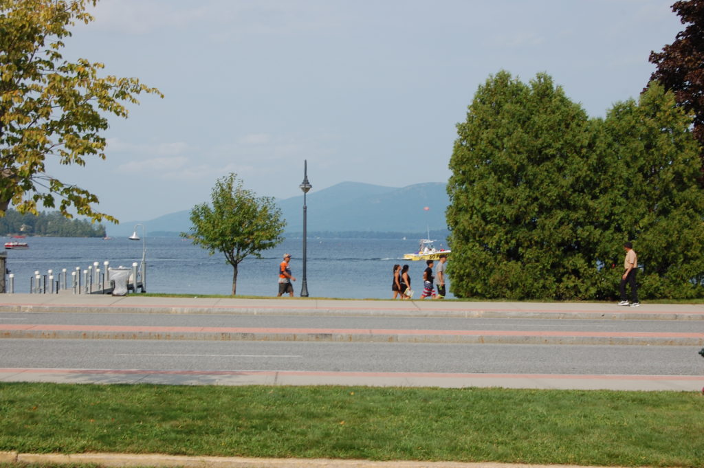
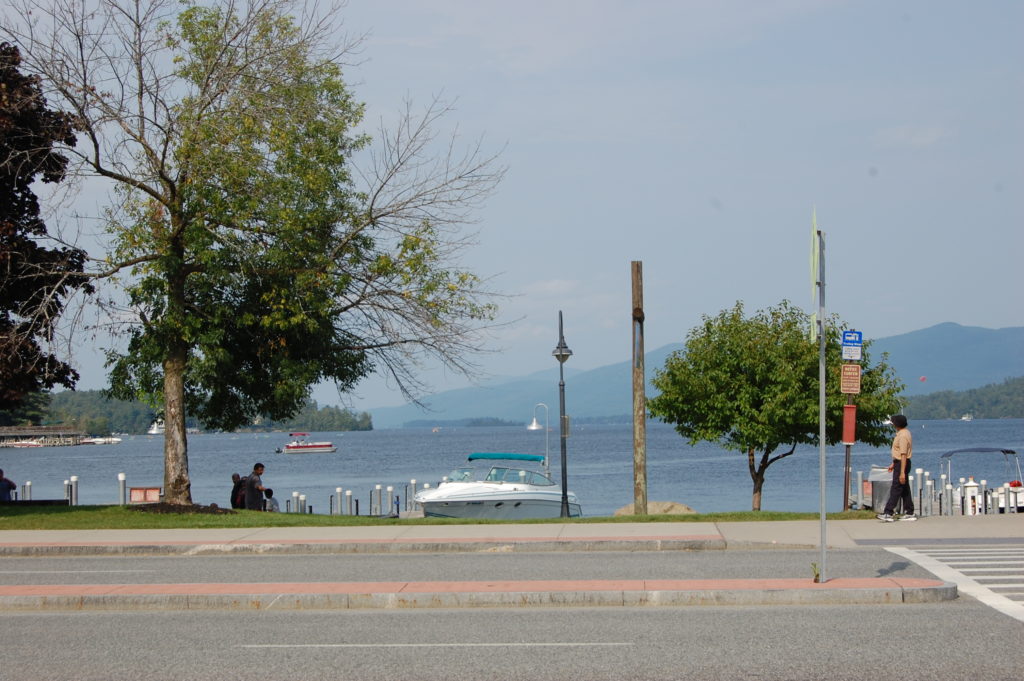

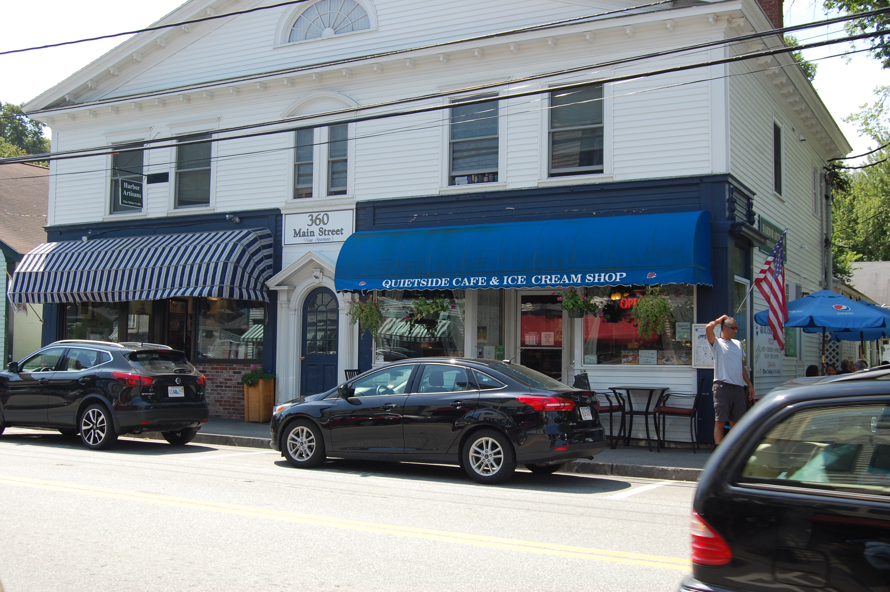


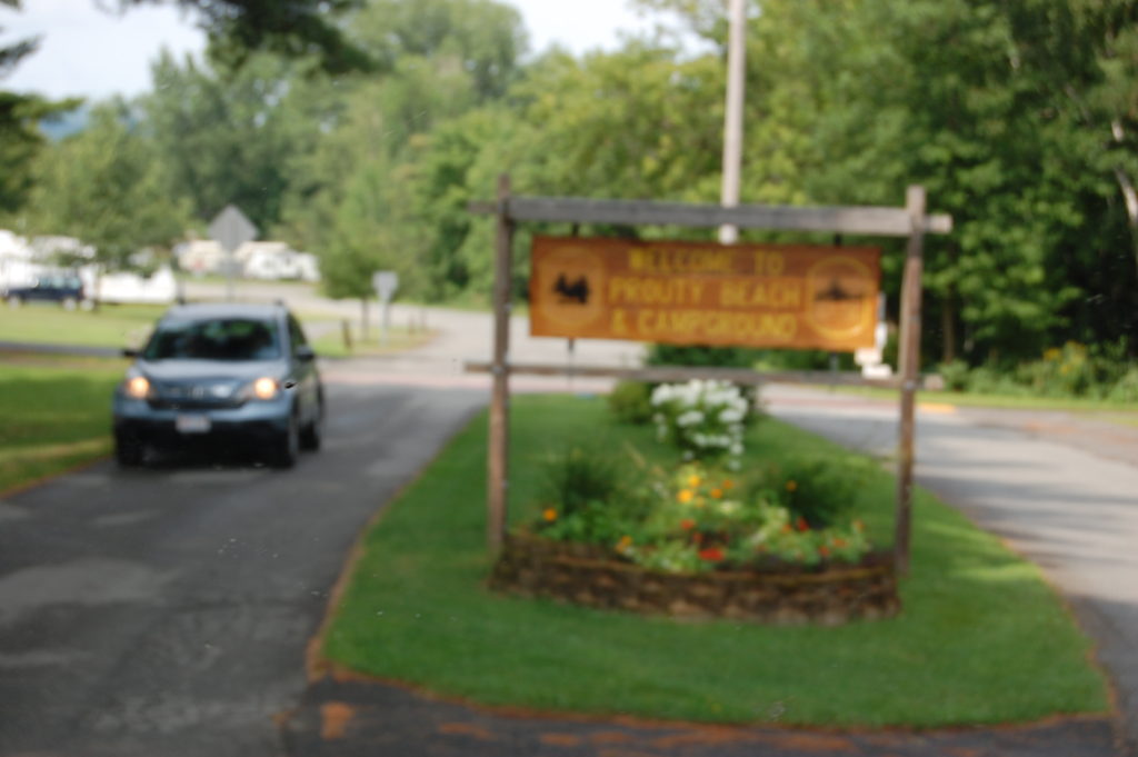
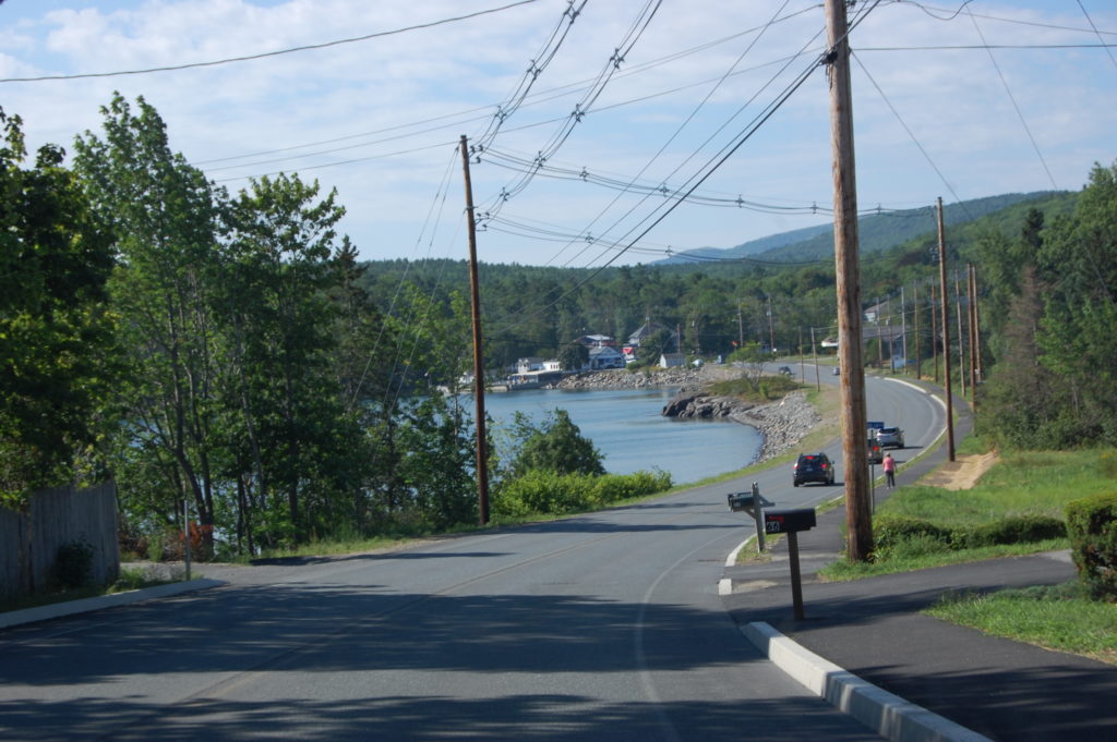
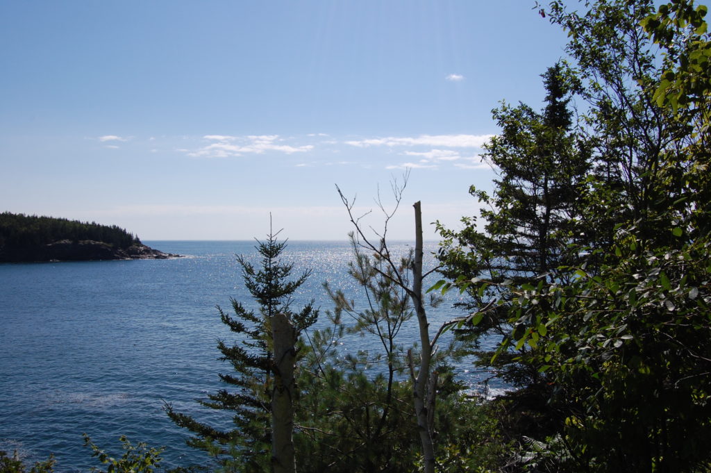
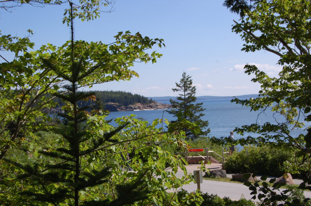
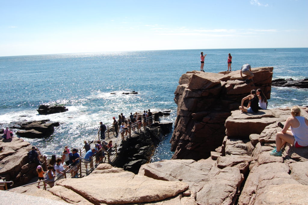
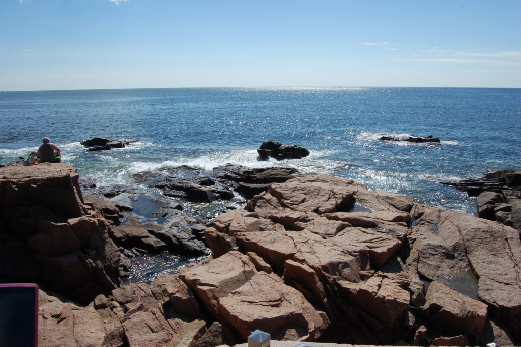
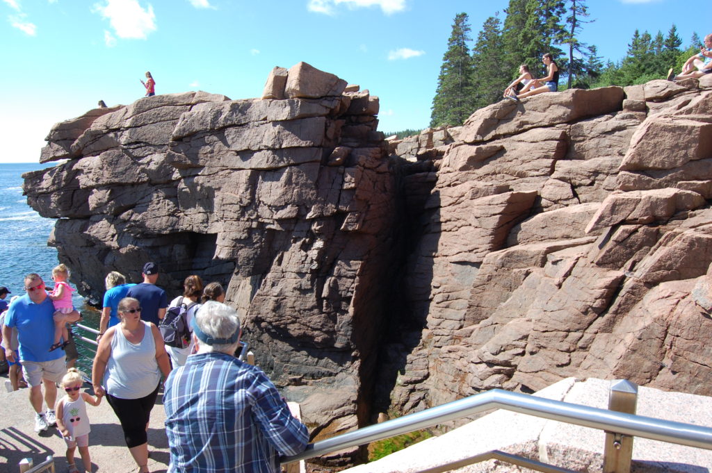
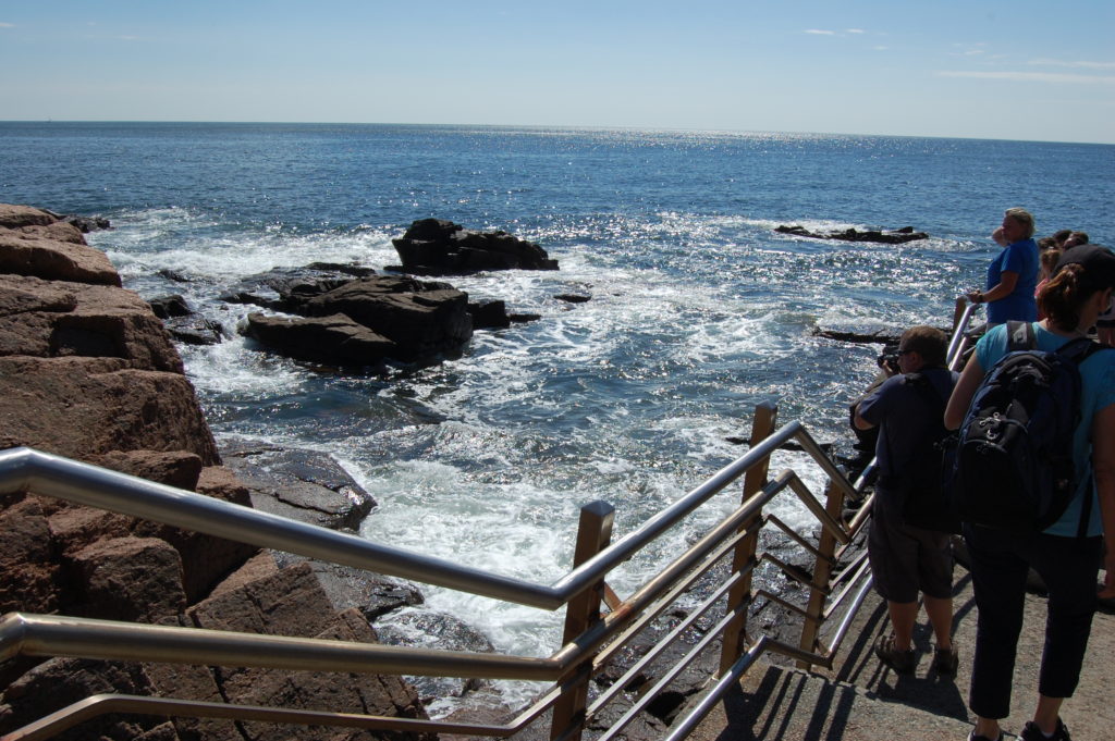
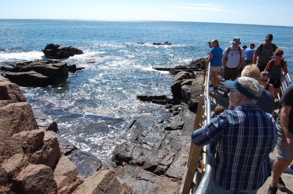
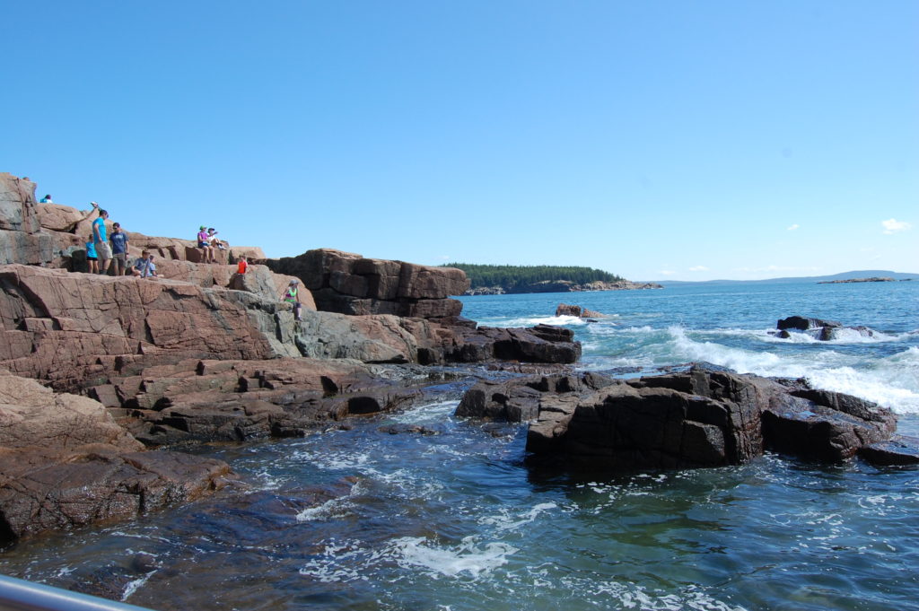
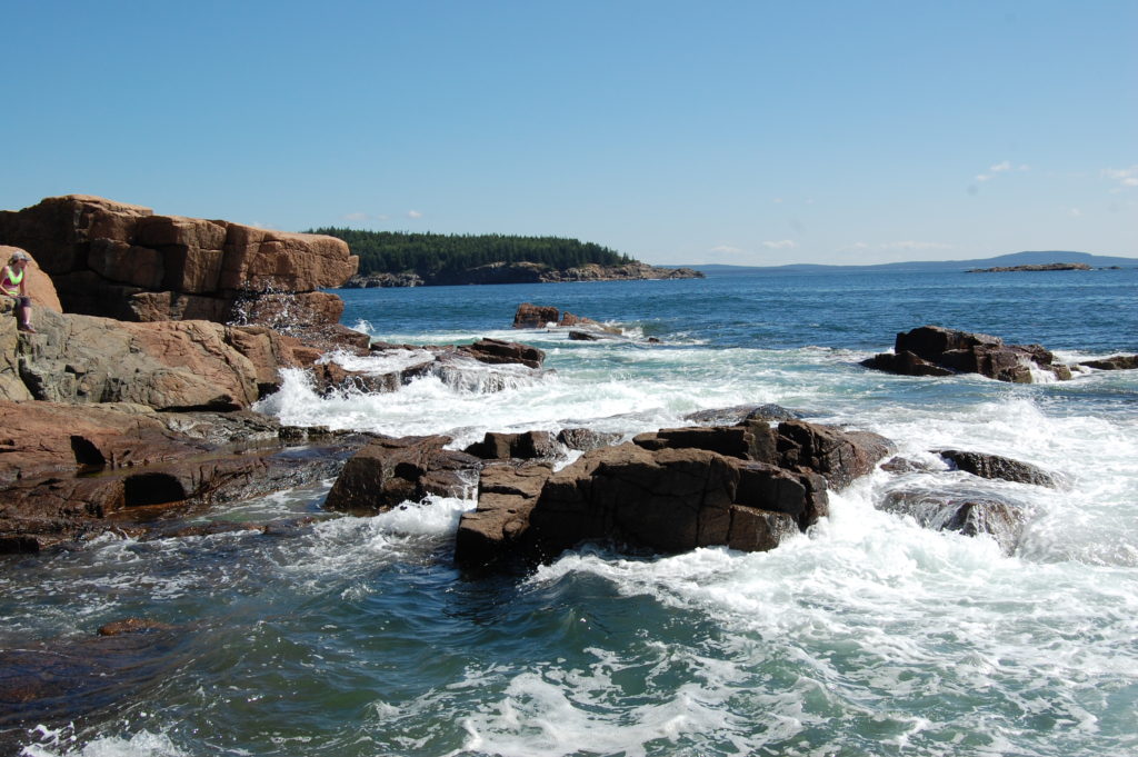
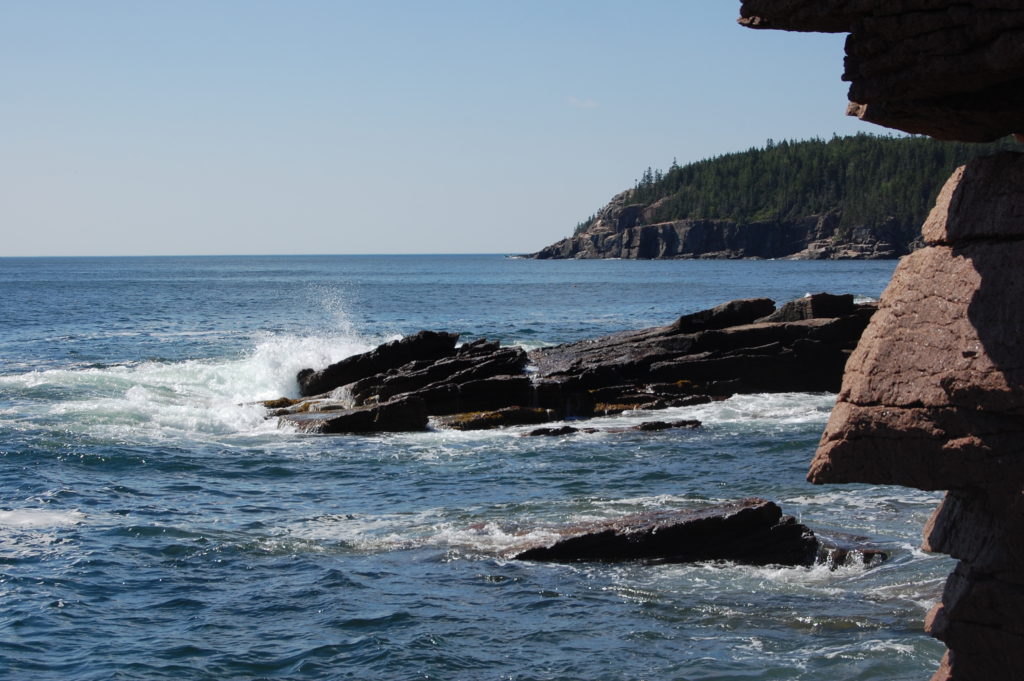
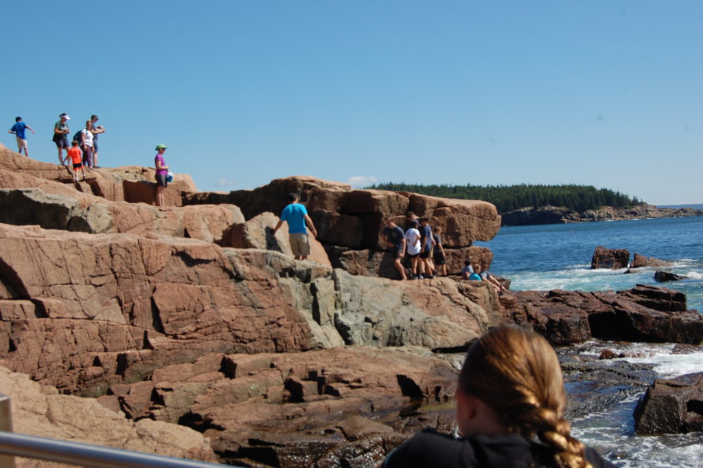
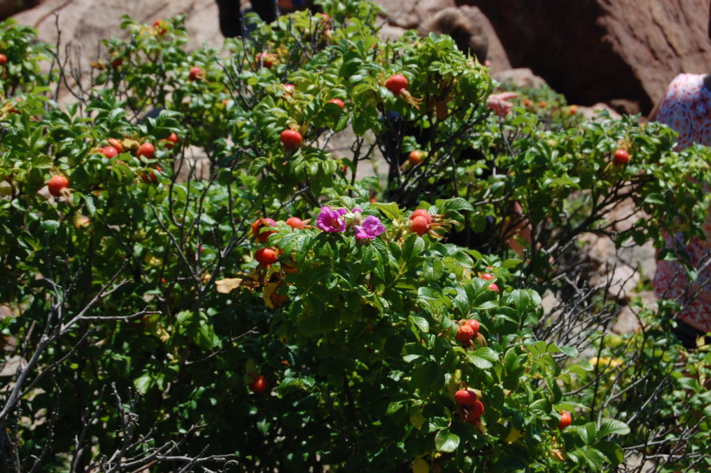
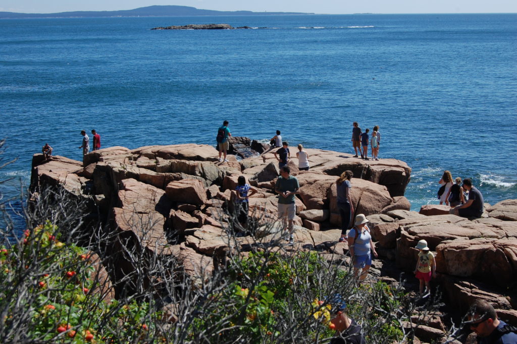
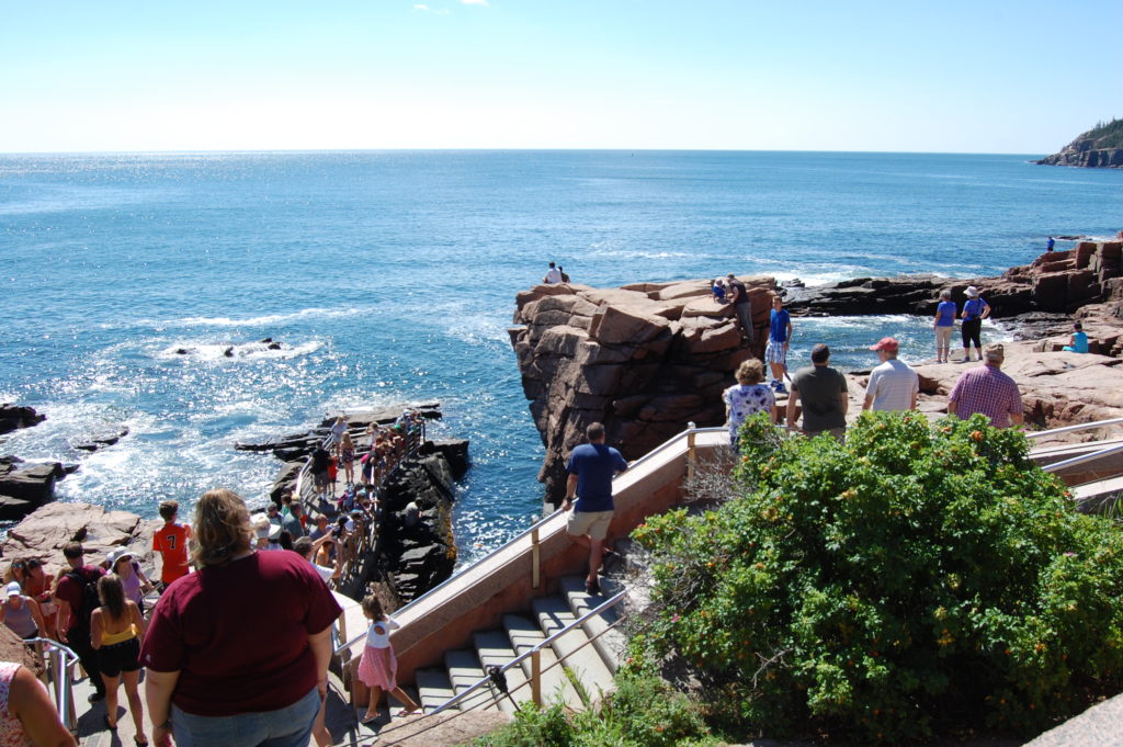
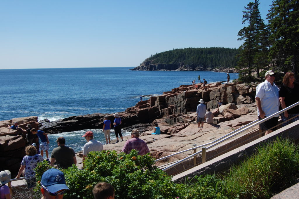
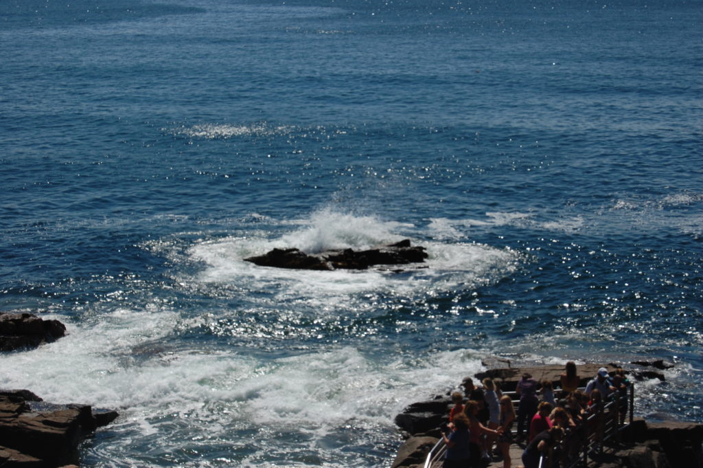
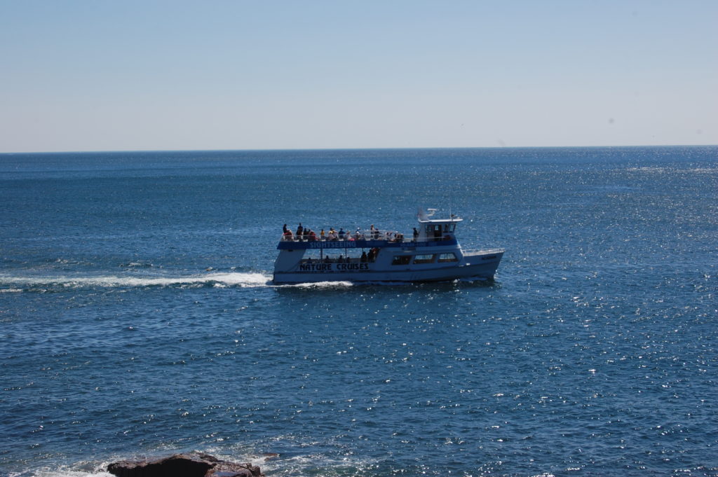
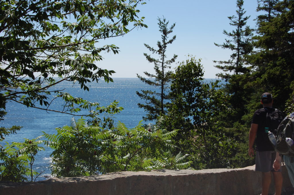
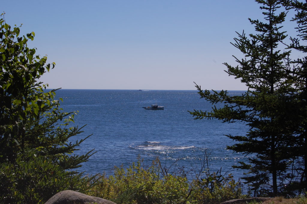
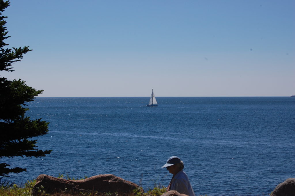
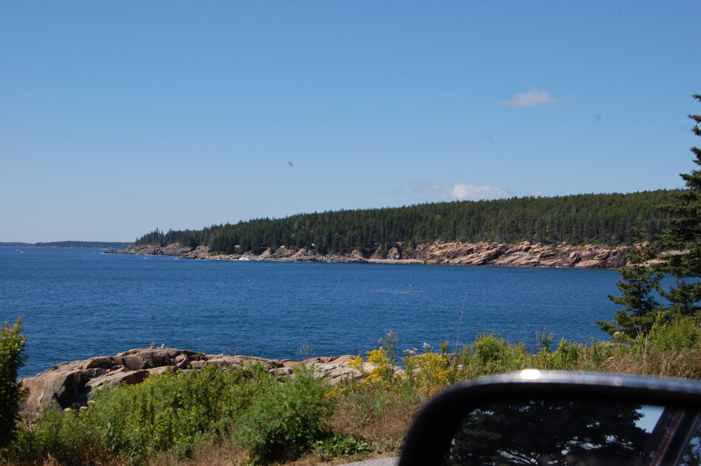

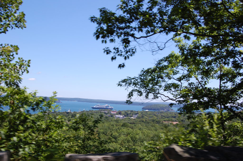
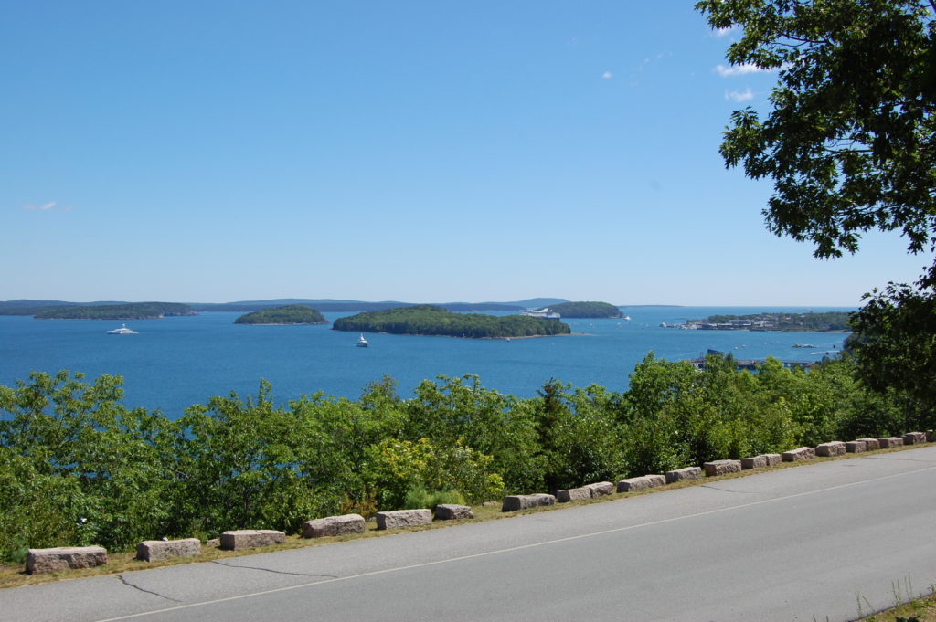
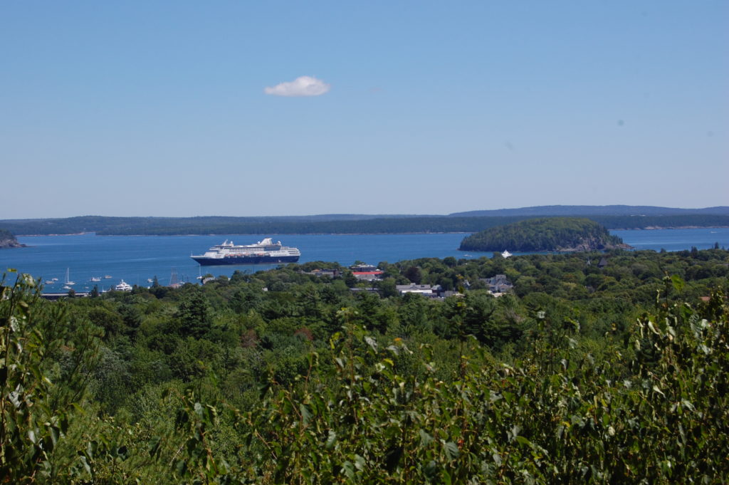
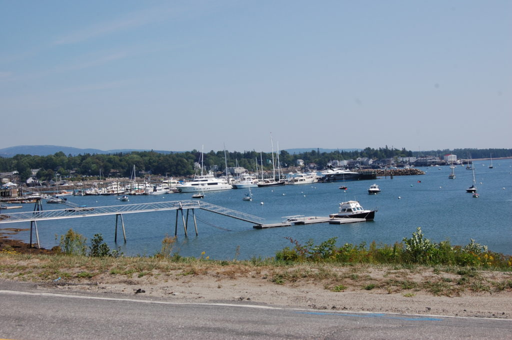
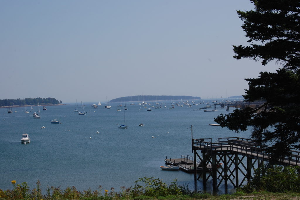
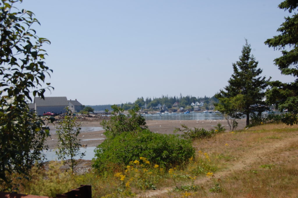
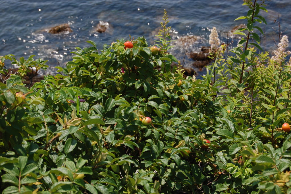
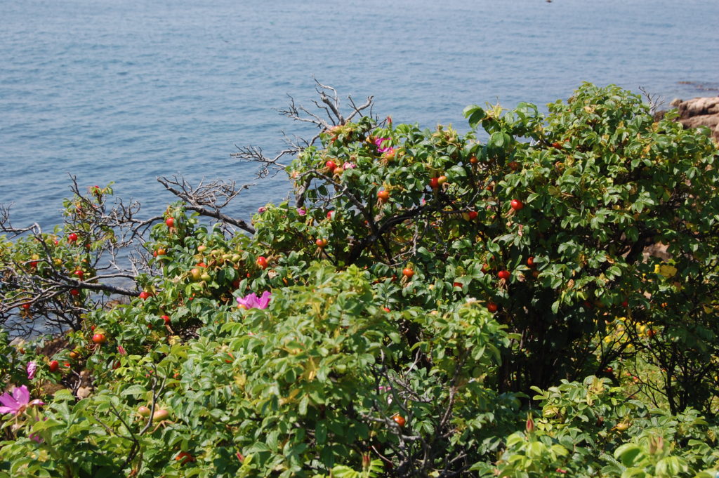
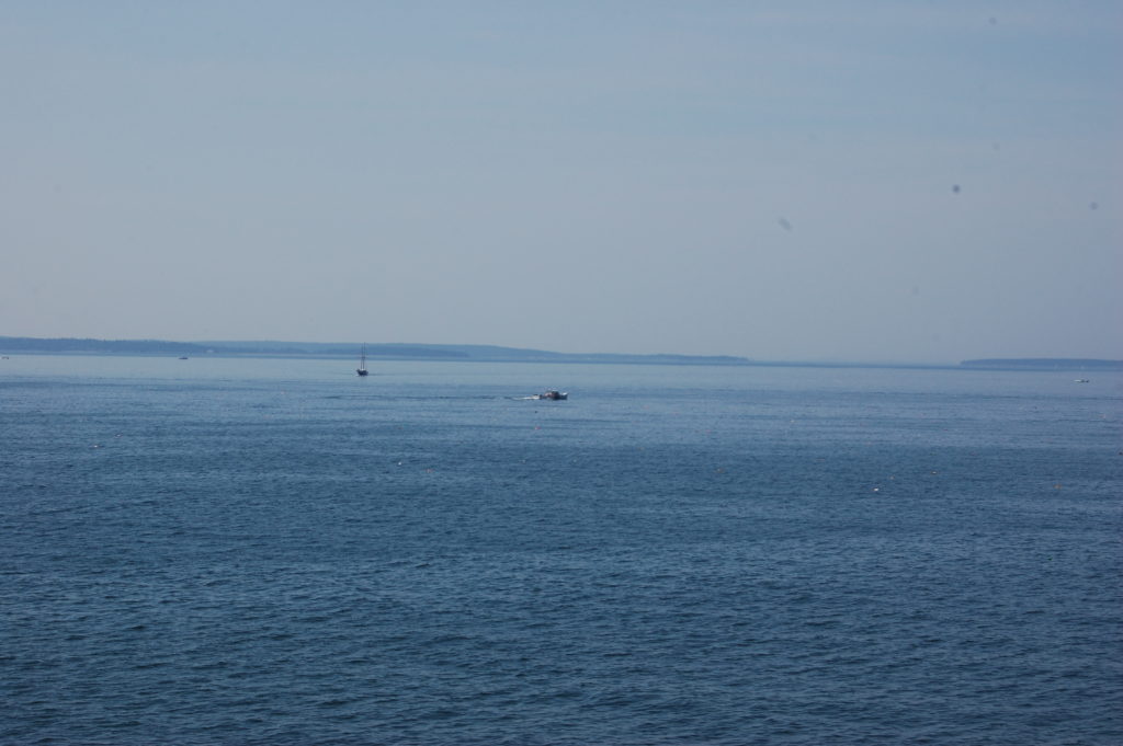
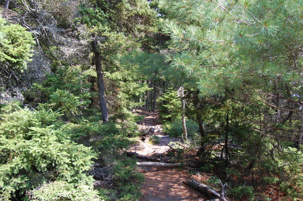
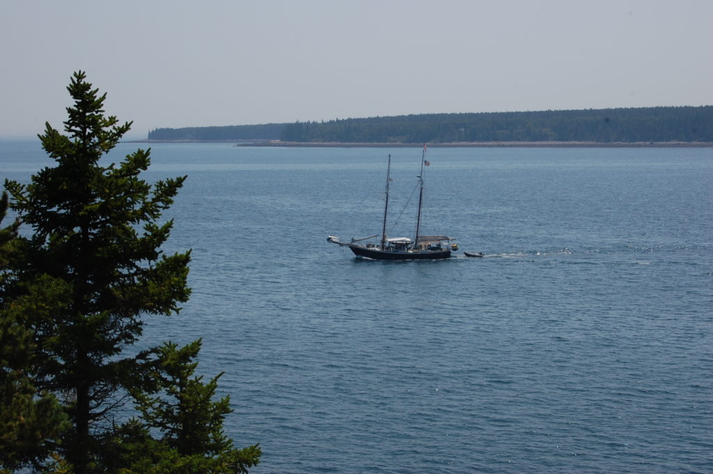
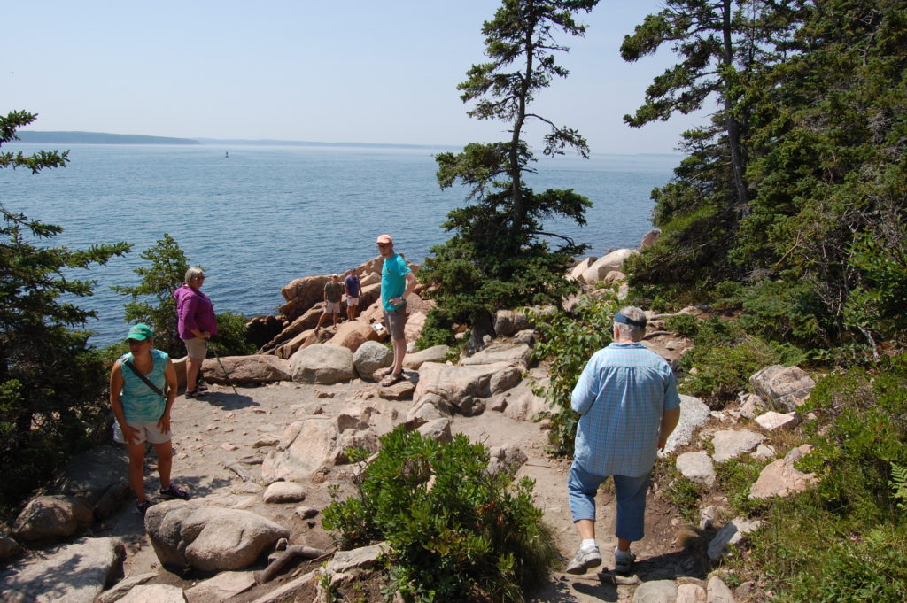
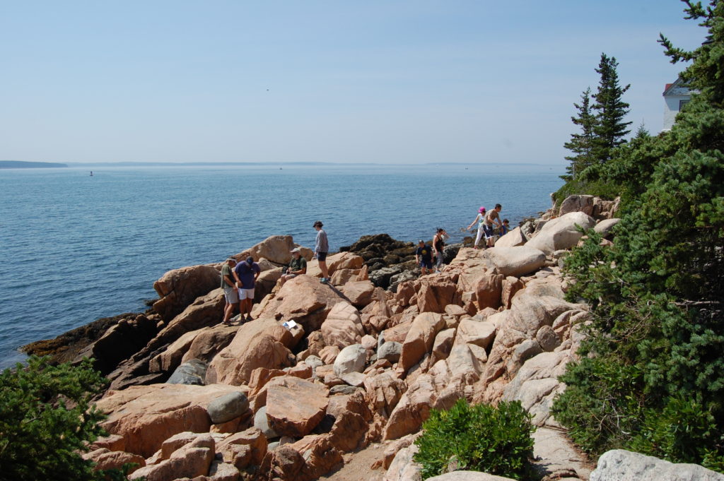
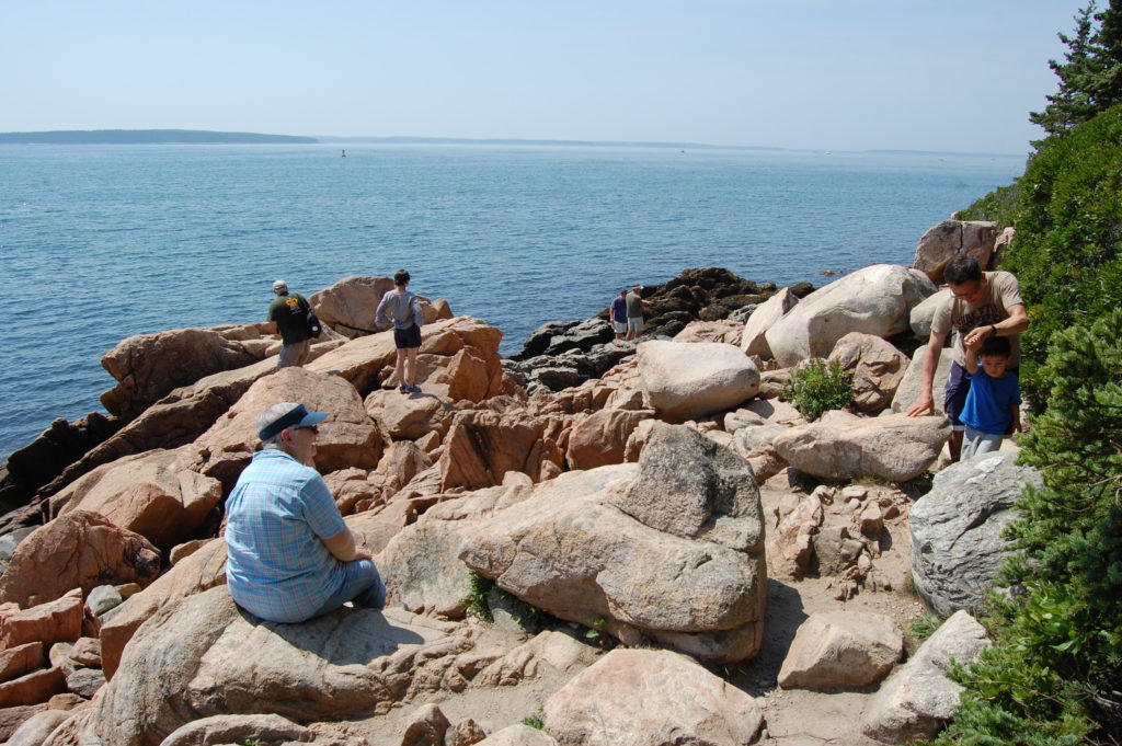
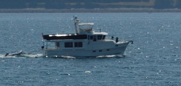
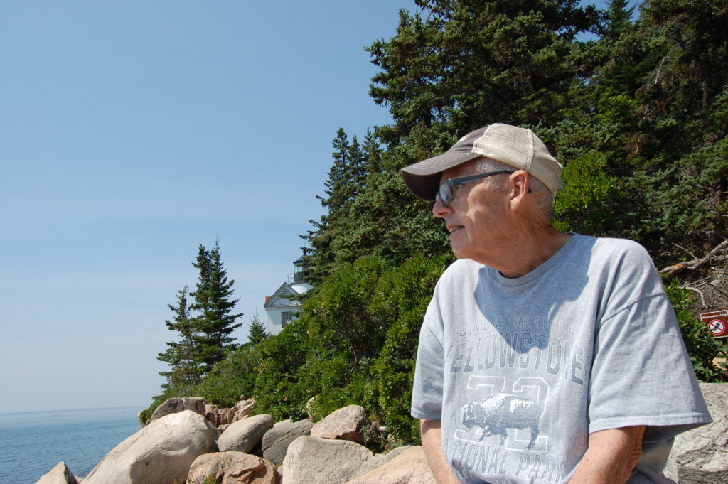
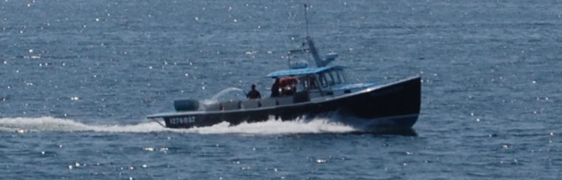
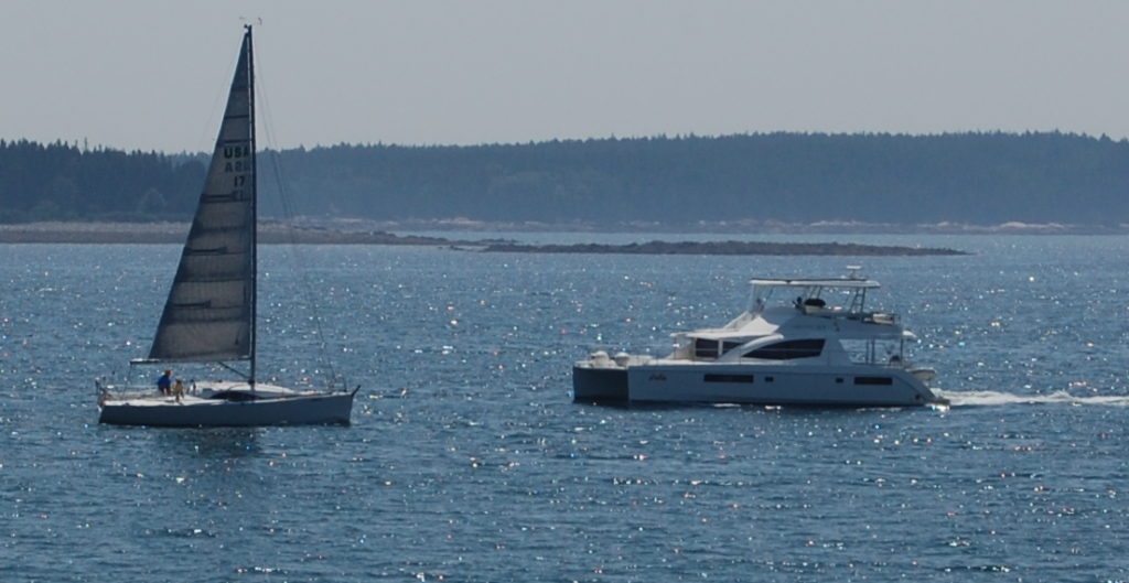
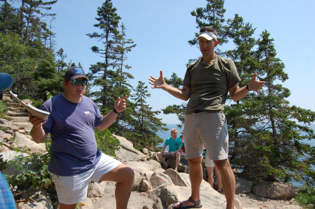
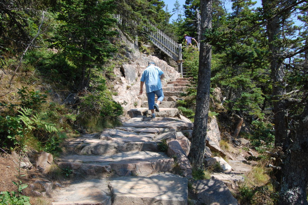
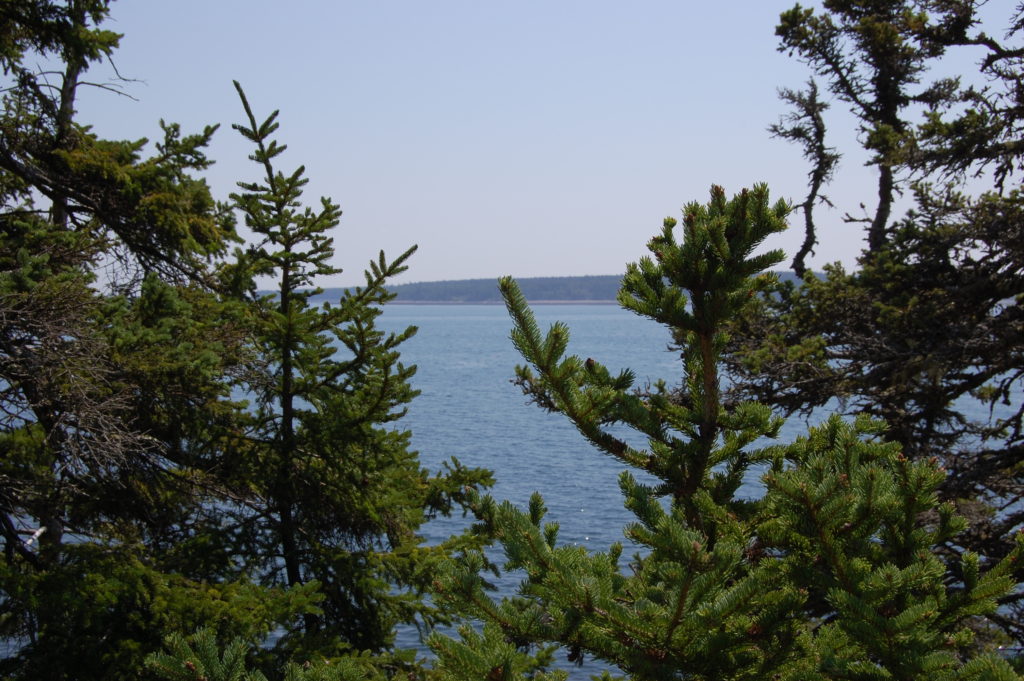
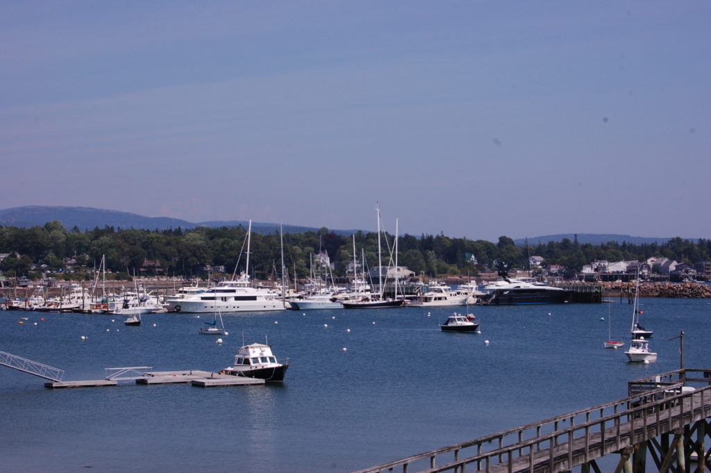
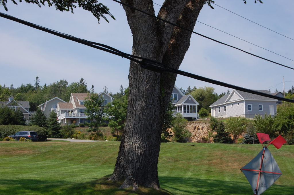
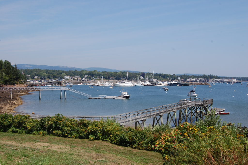
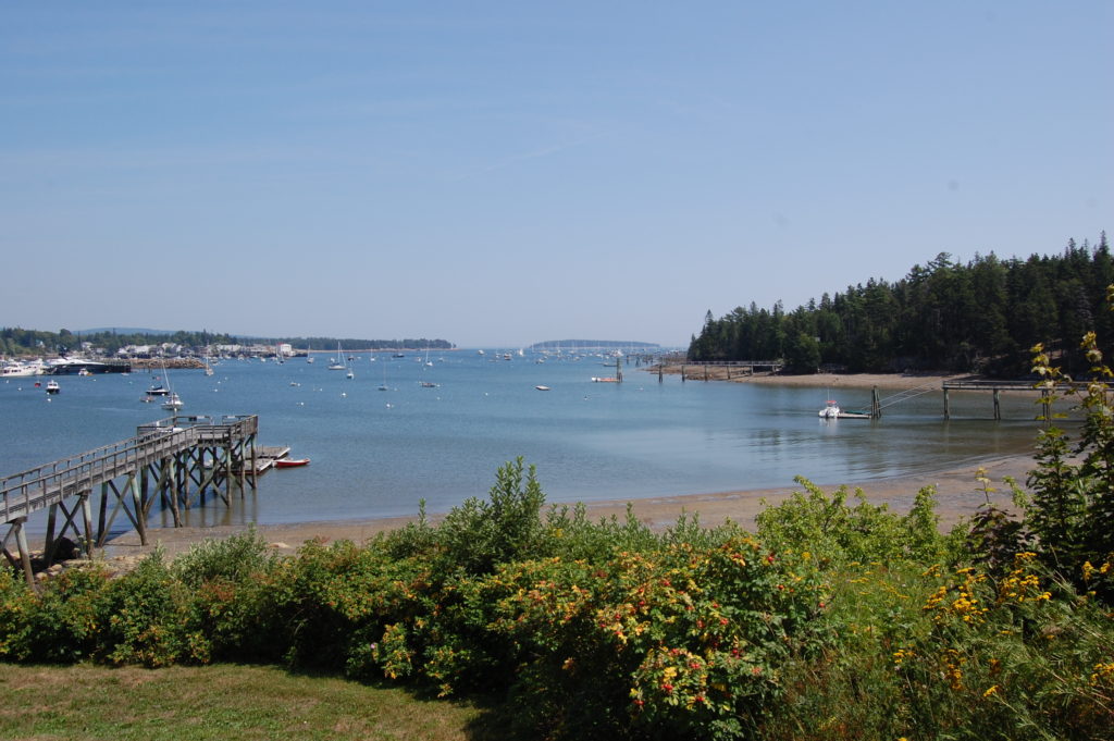
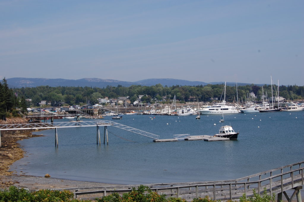
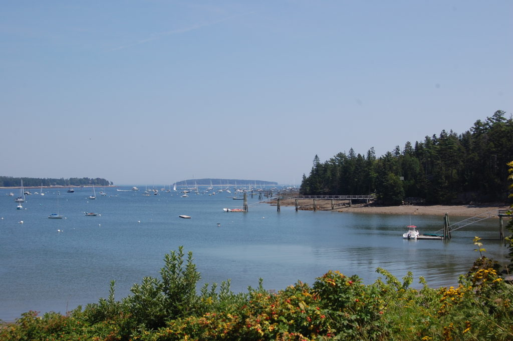
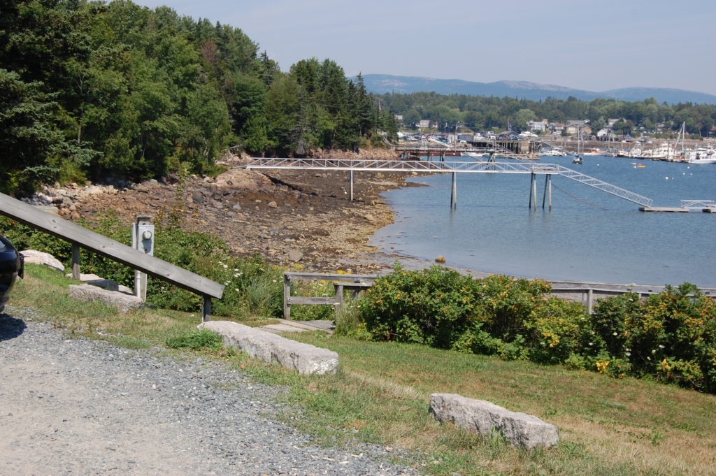
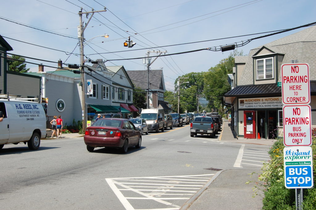
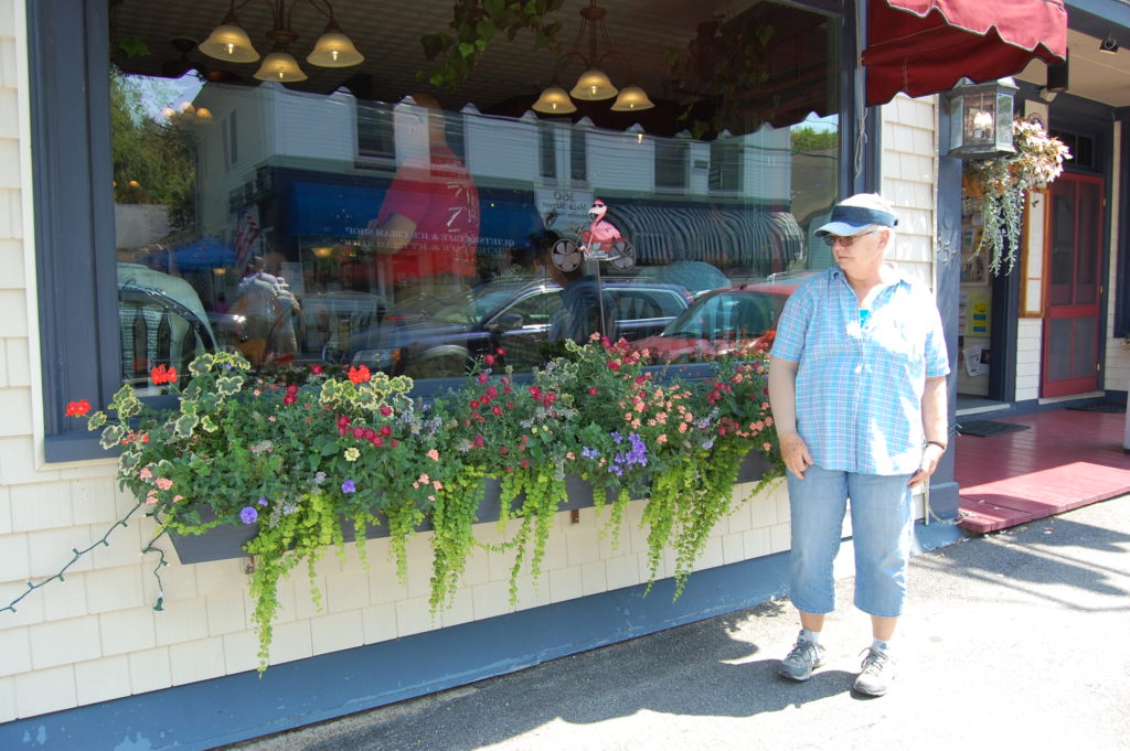


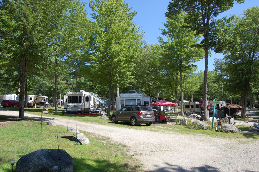
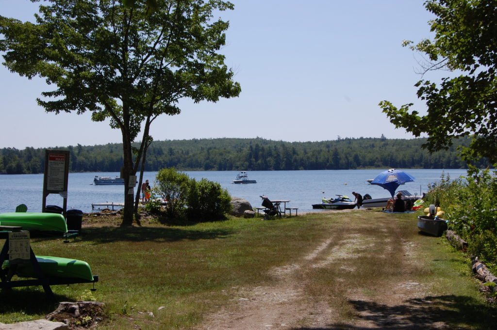

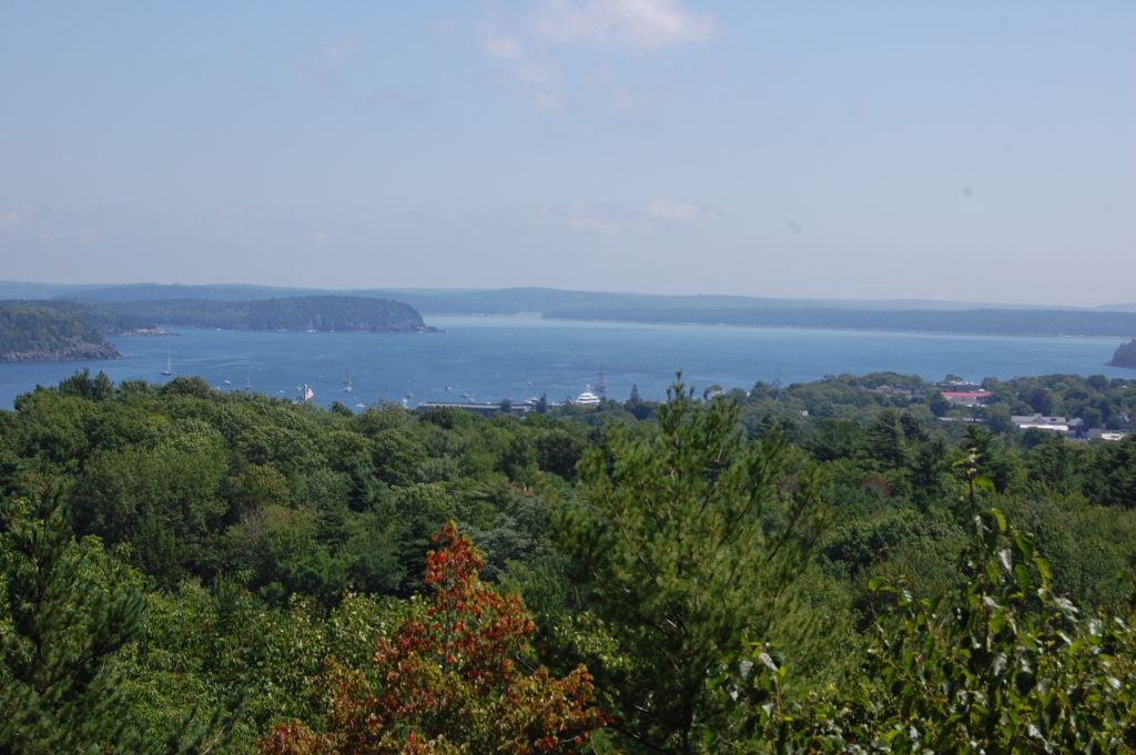
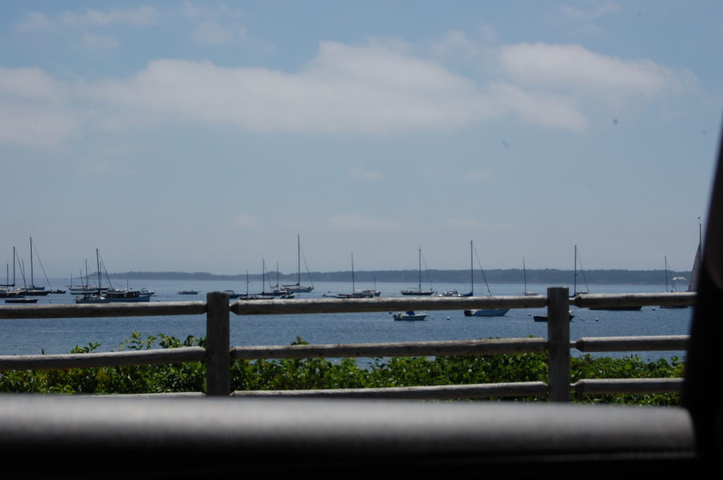
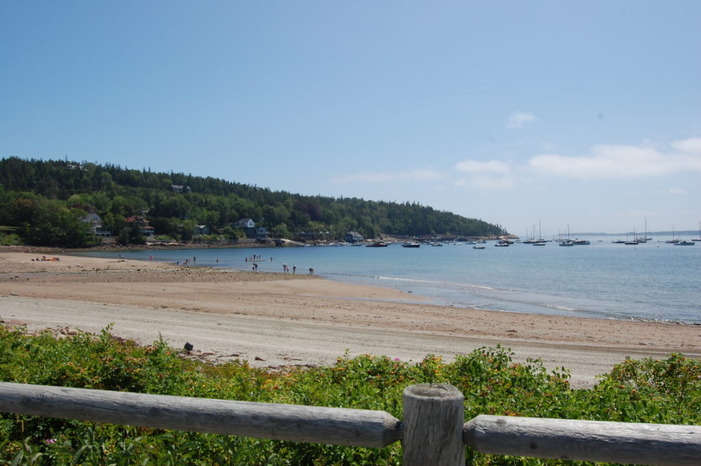
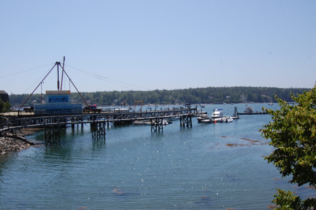
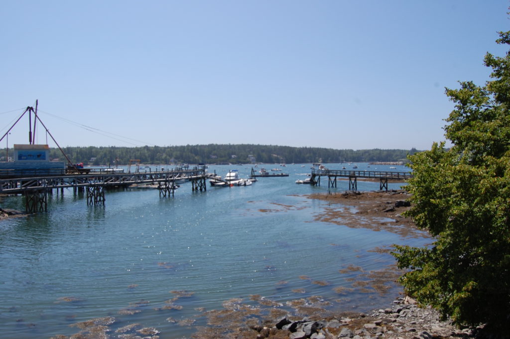
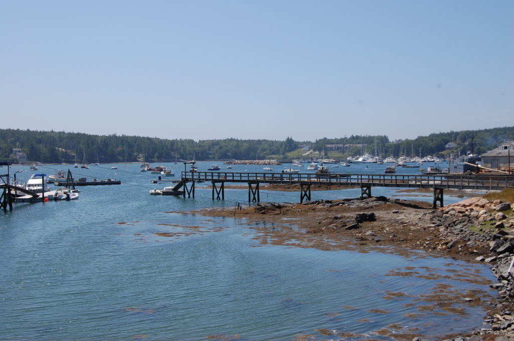
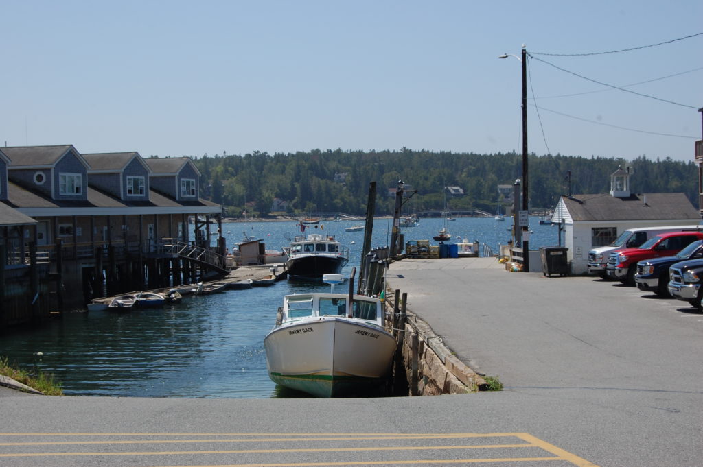
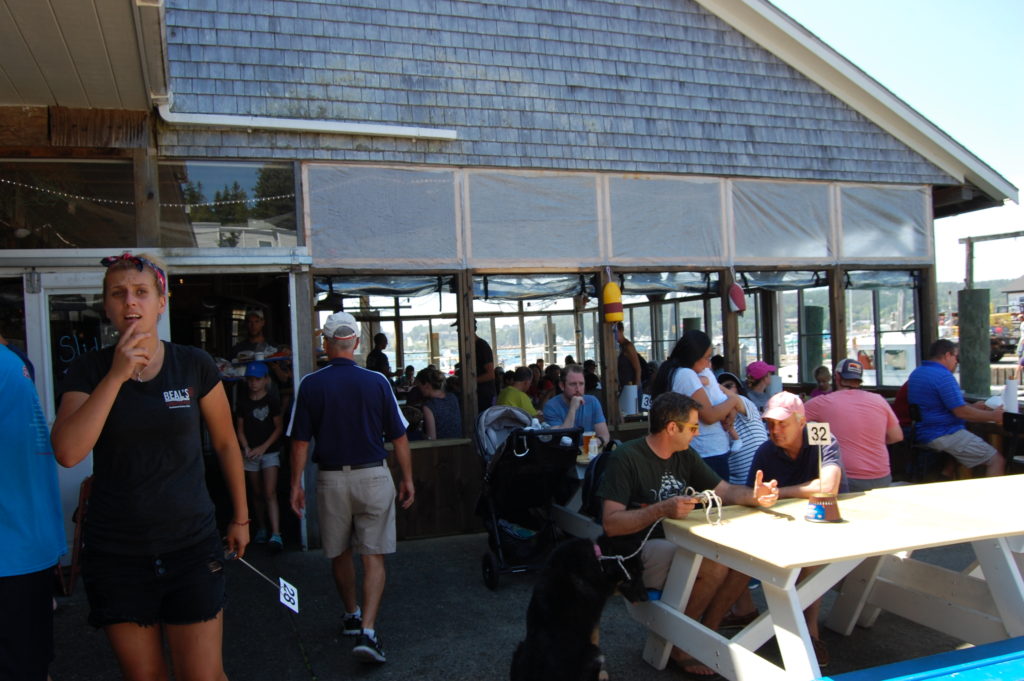
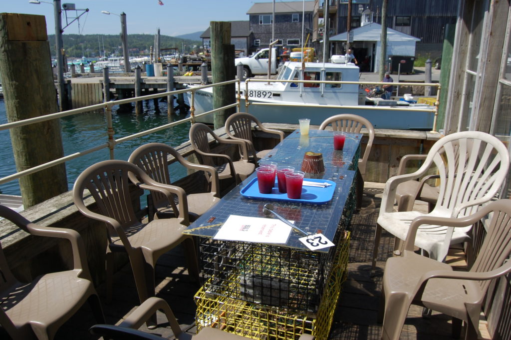
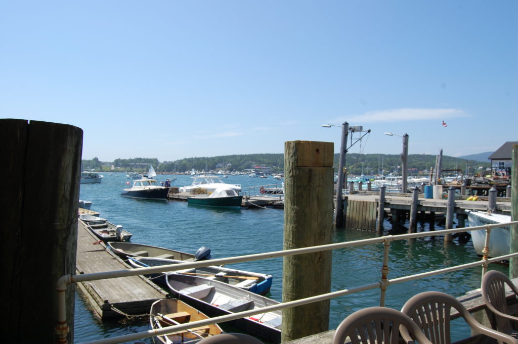
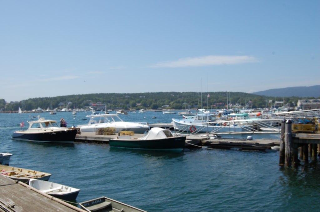
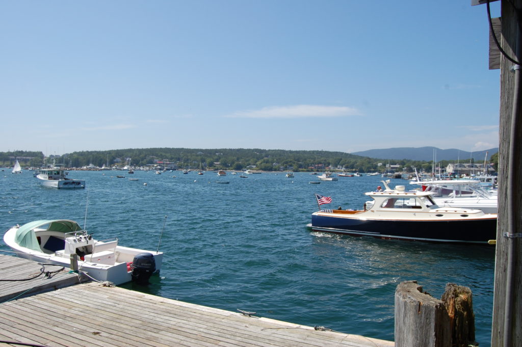
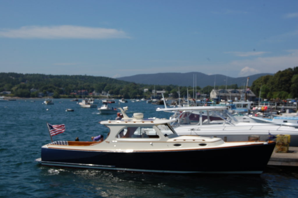
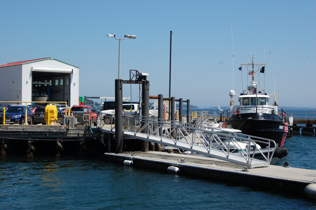
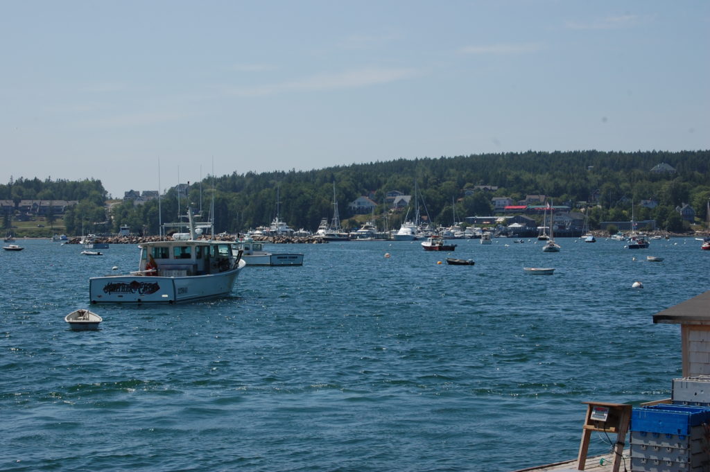
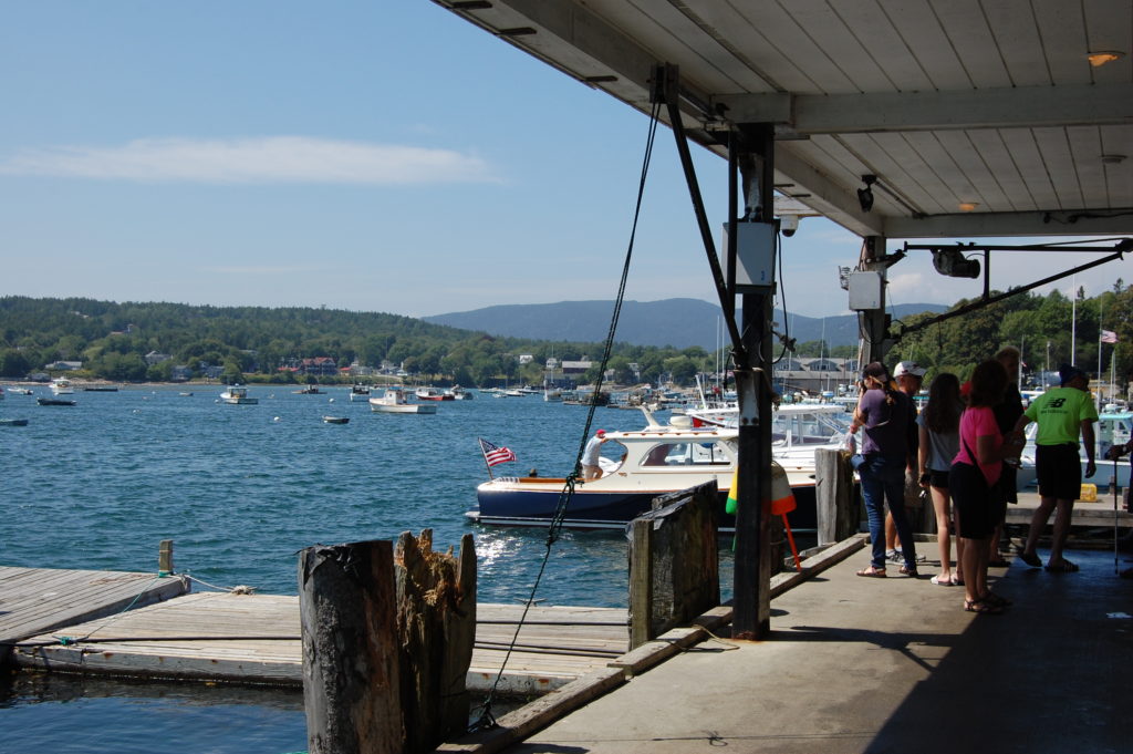
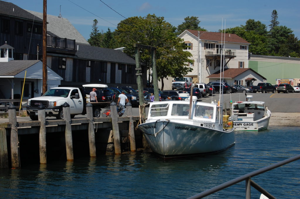
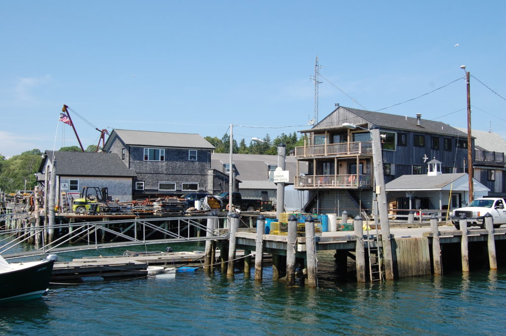
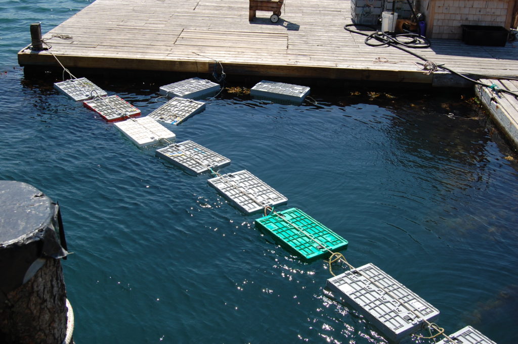
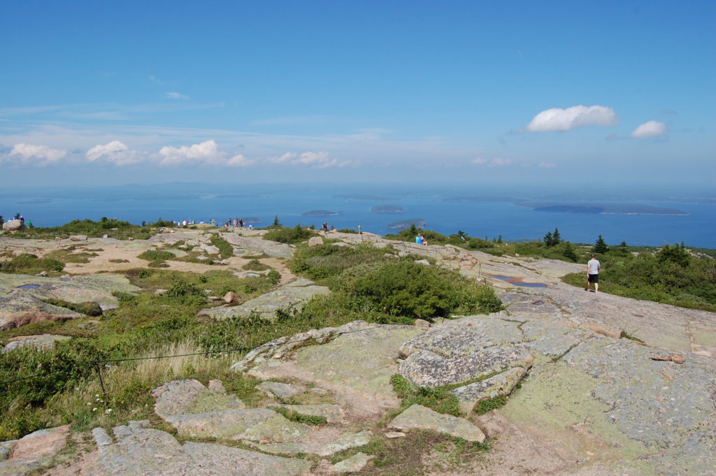
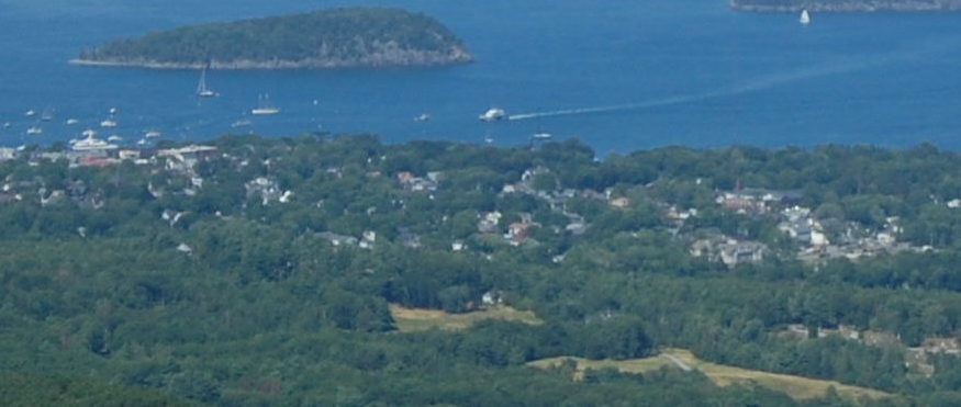
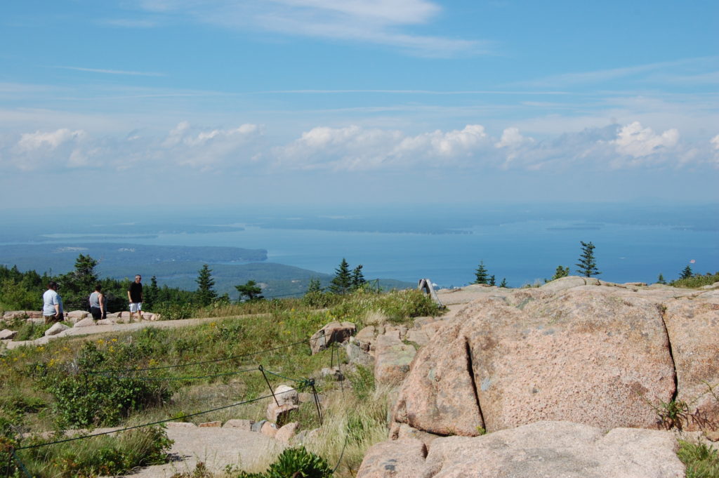
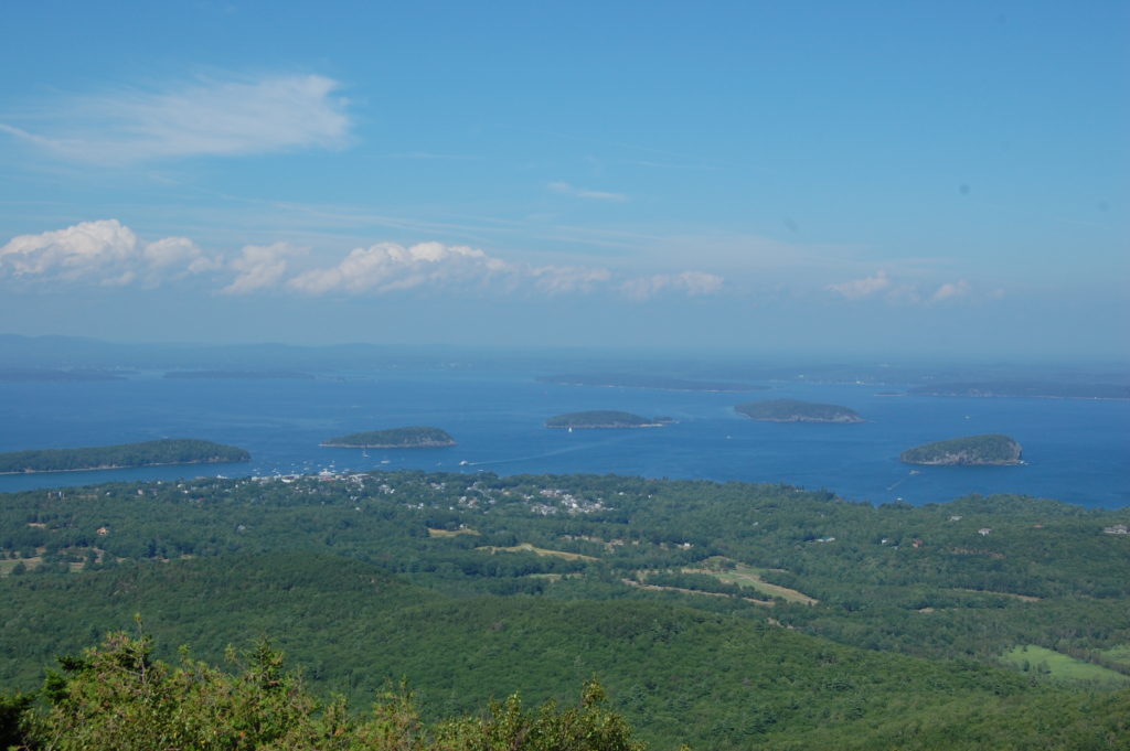
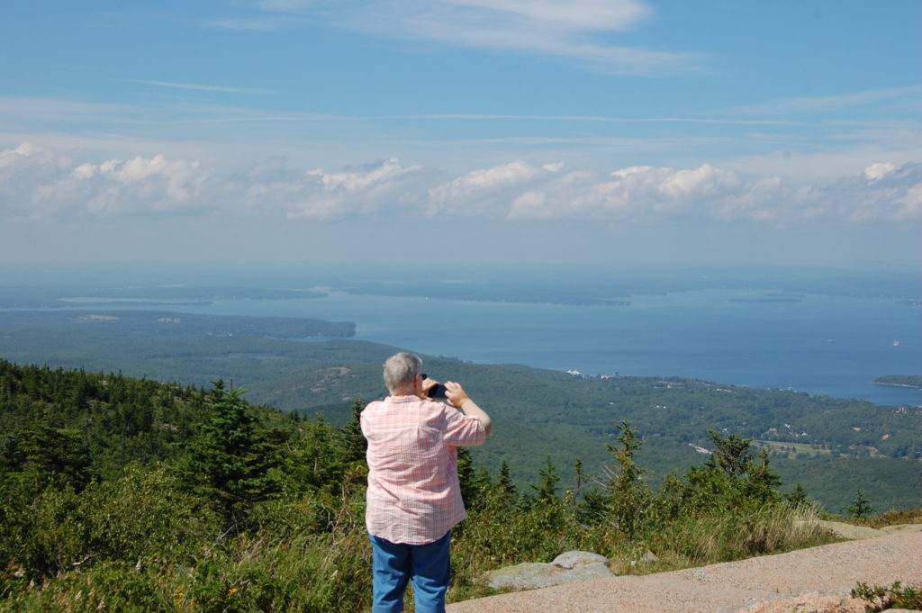
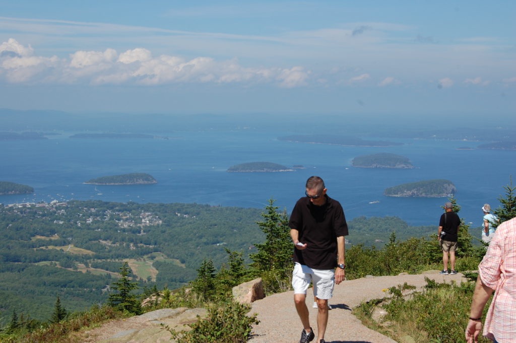
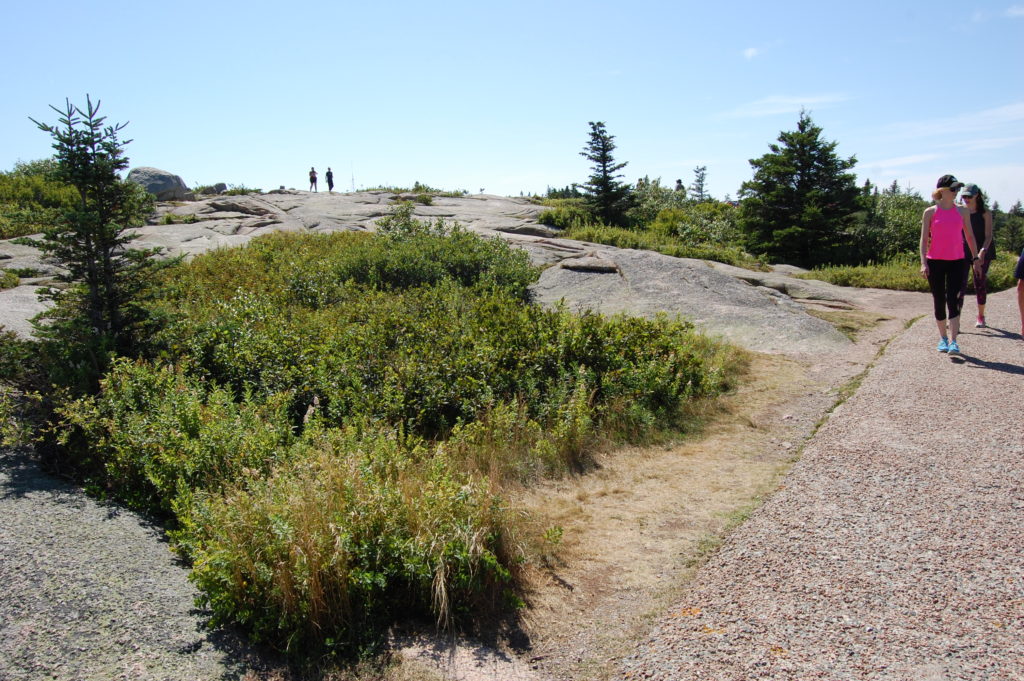
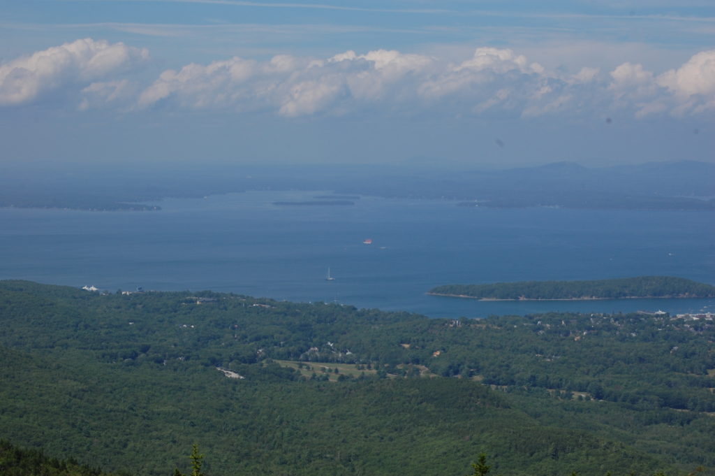
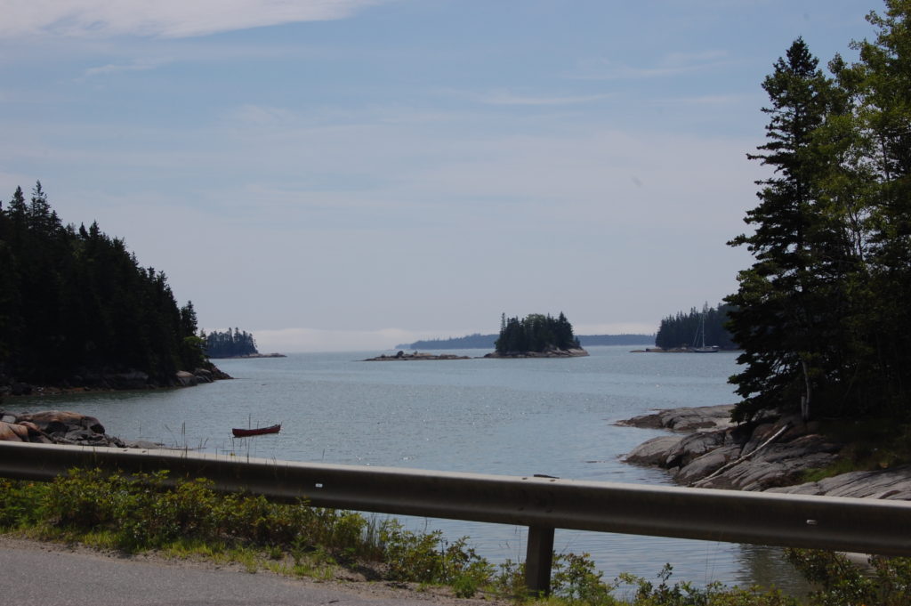
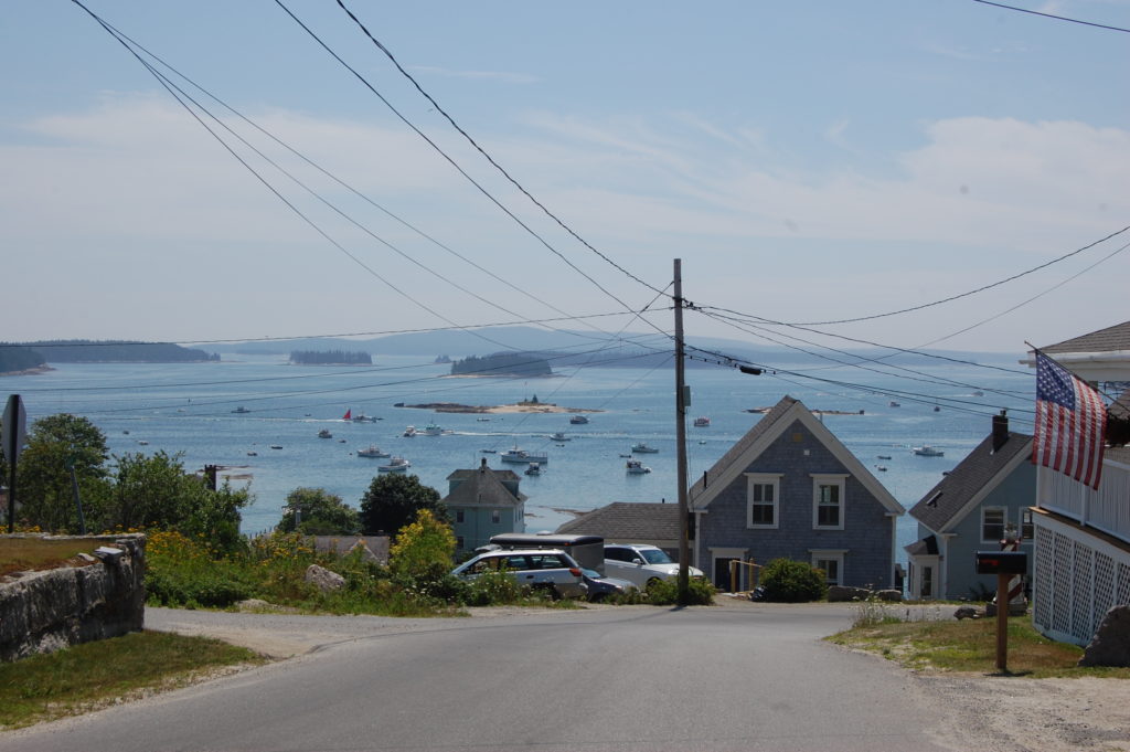
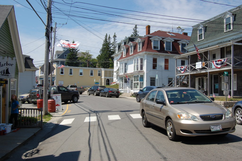
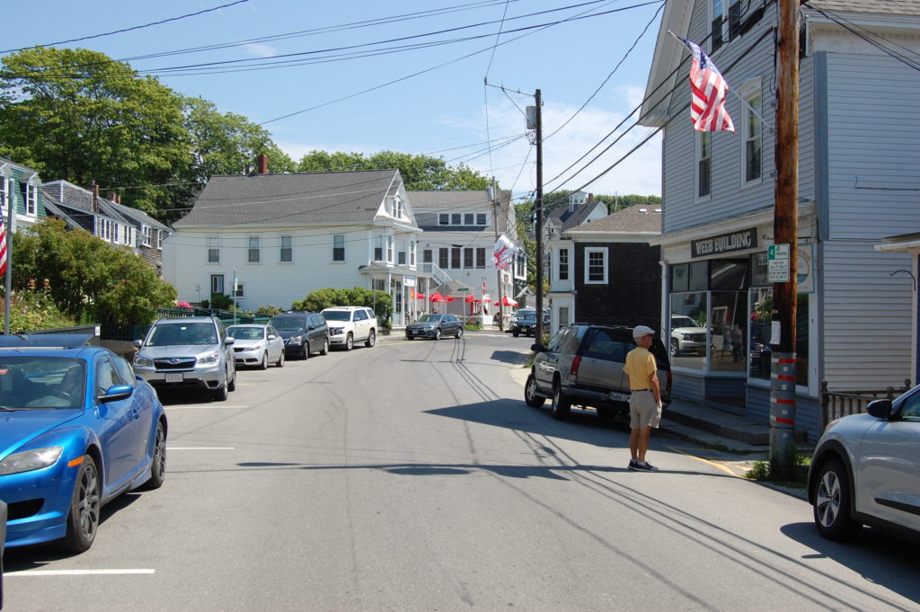
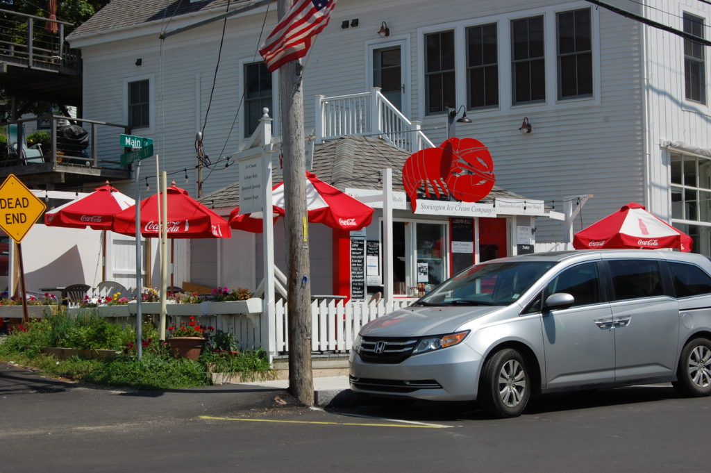
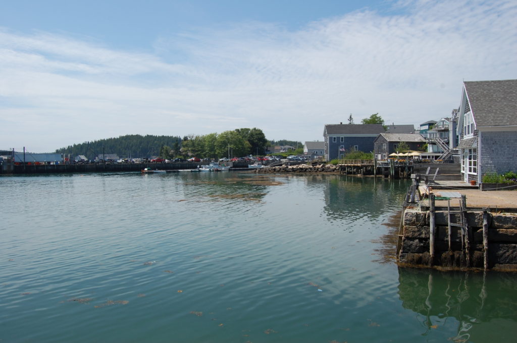
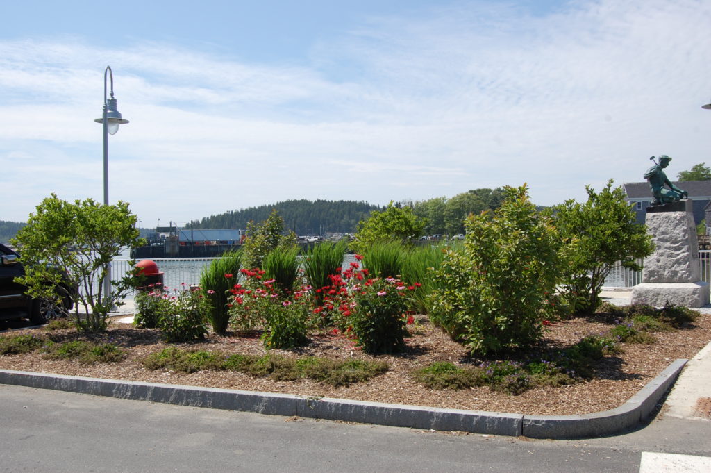
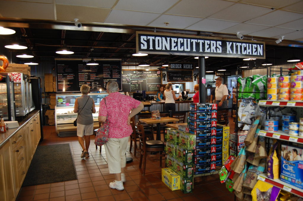
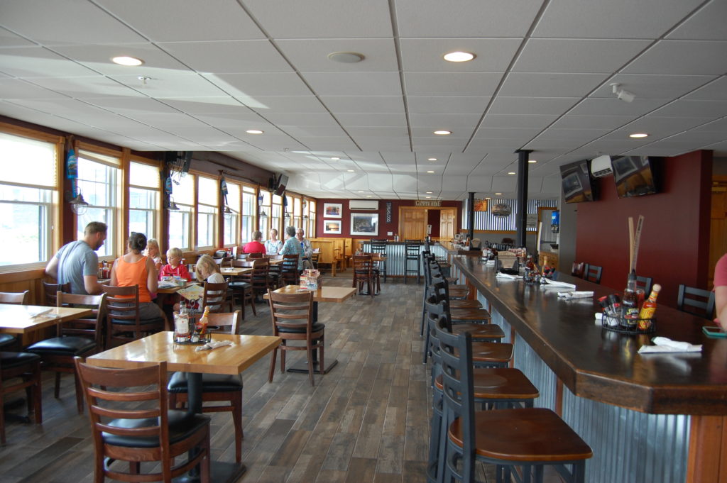
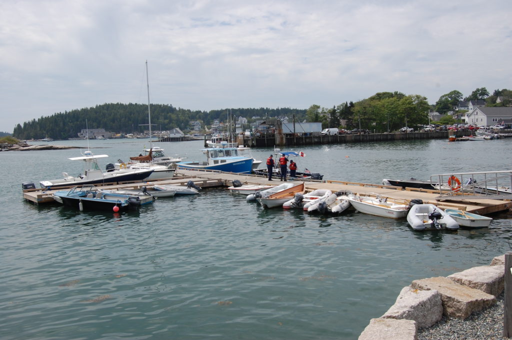
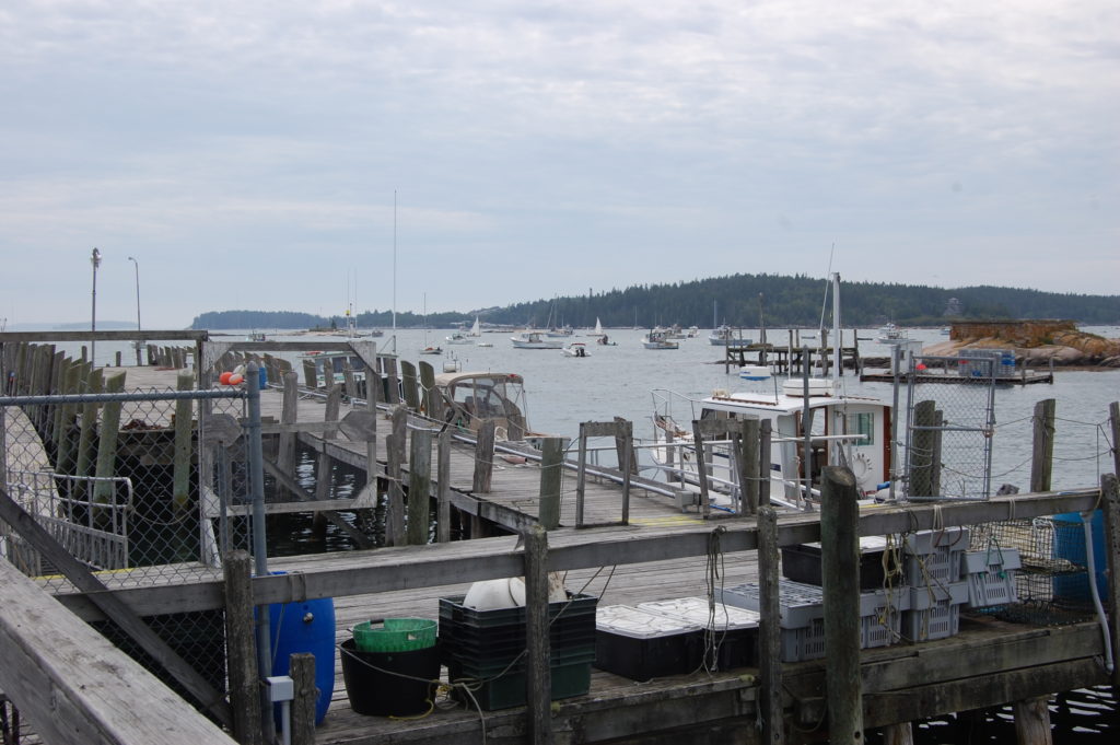
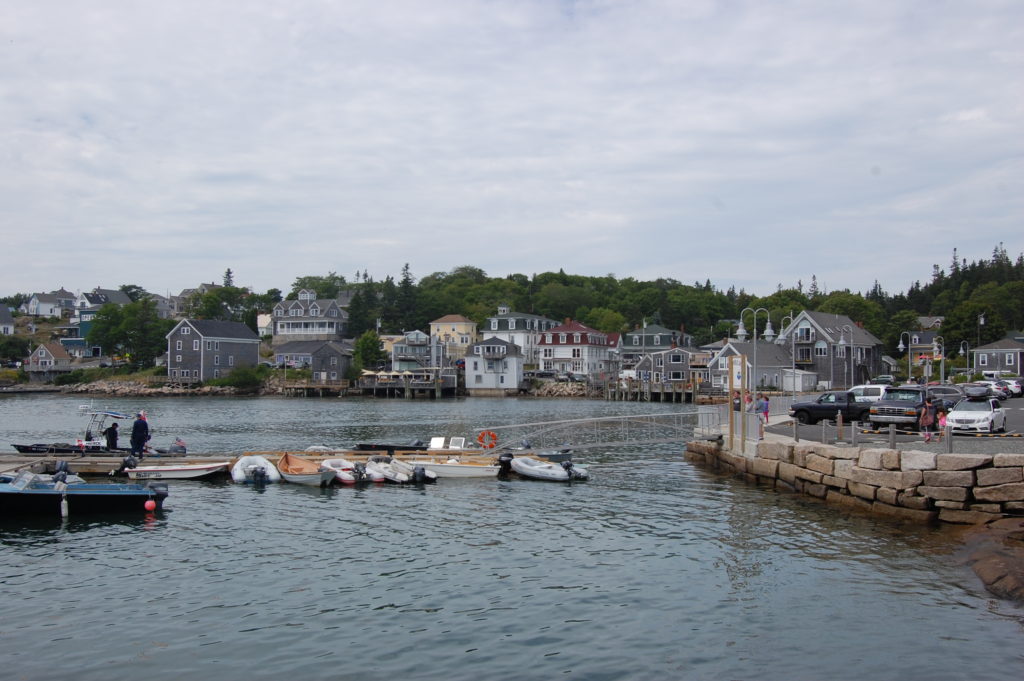
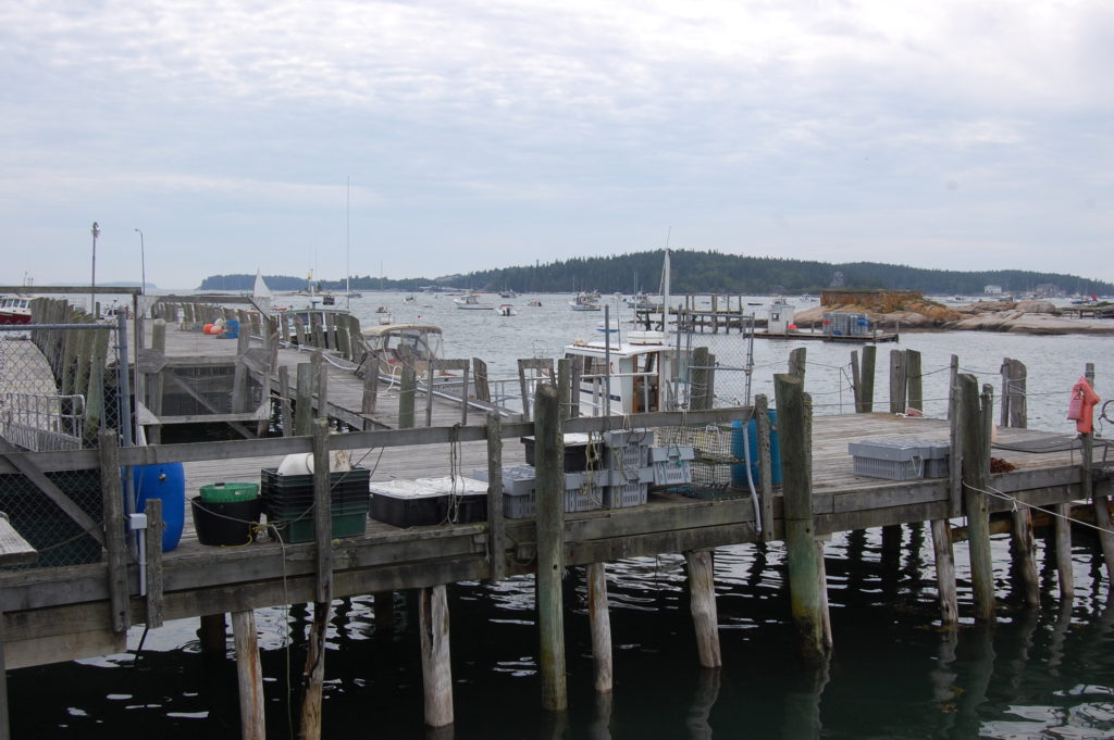
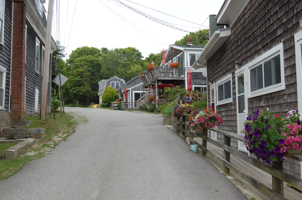
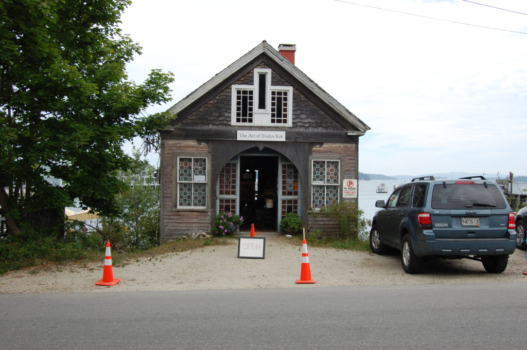
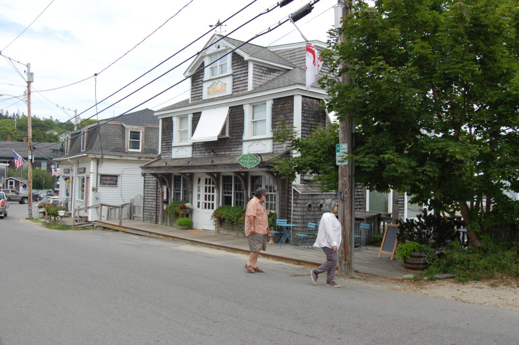
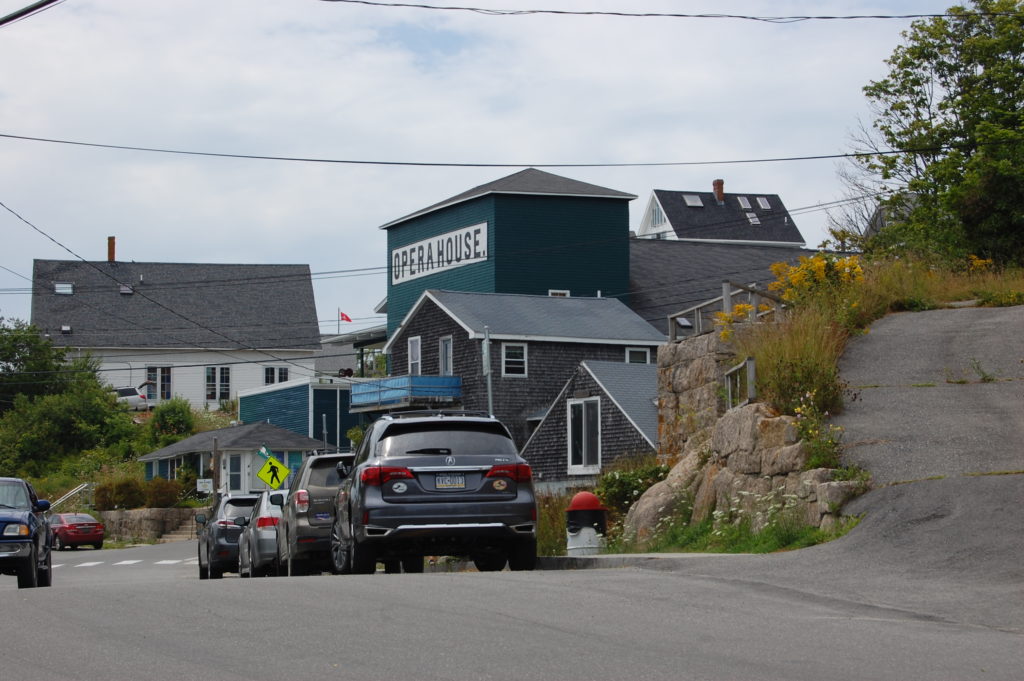
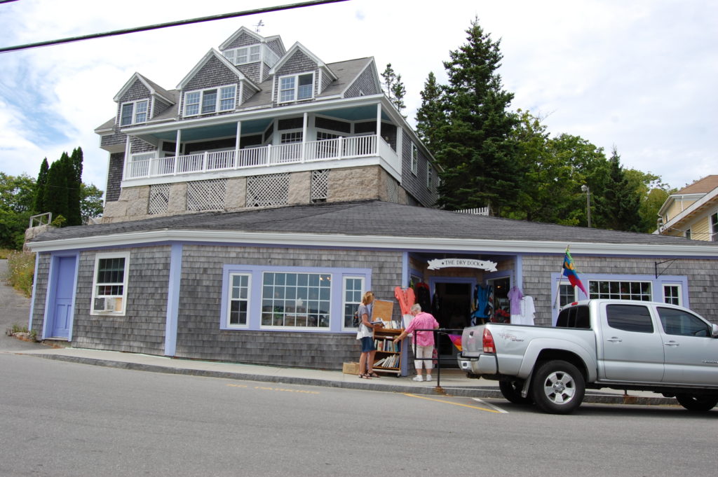
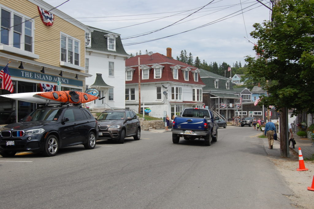
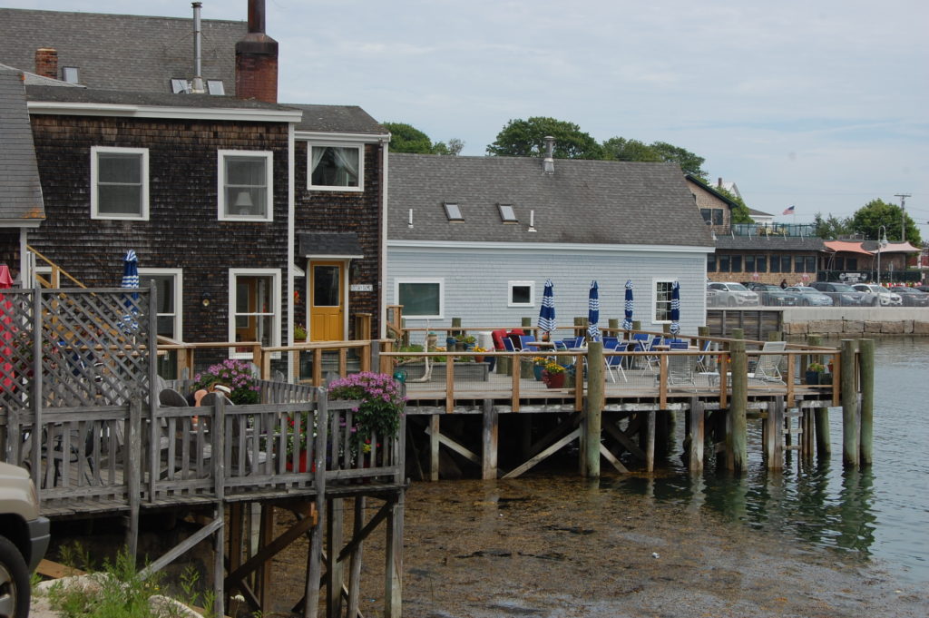
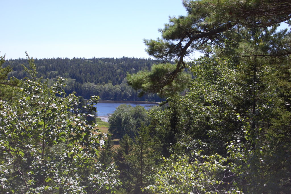
 The goal here is to just enjoy the area and take in the coastal Maine atmosphere. Tom has planned, after we see to our hearts content, to eat at Beal’s Lobster Pier.
 They’ve been here almost a hundred years and the size and taste of their food is a testament to their longevity.